
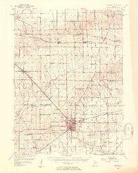
1952 Map of Mendota
USGS Topo · Published 1954About this map
The city of Mendota serves as a major rail hub in the early 1950s, where the Chicago Burlington and Quincy, Illinois Central, and Chicago and North Western railroads intersect. This confluence of transportation supported a dense network of agrarian settlements and community institutions across LaSalle, Lee, and Bureau Counties. Genealogists will find a wealth of specific landmarks, including numerous family and church cemeteries such as Restland Cem, Holy Cross Cem, and Erbes Cem.
Find a feature on this map
66 named features on this map. Tap any name to fly to it.
Don’t see what you’re looking for? This feature index may not catch every label — zoom into the map to look around manually.
Map Details
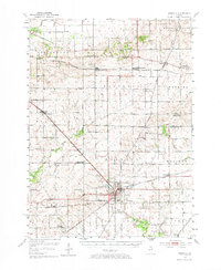
Editions of this 1952 Mendota Map
3 editions found
Other maps of this area

1892 · Ottawa
USGS Topo · 1:62,500

1893 · Hennepin
USGS Topo · 1:62,500

1893 · Lasalle
USGS Topo · 1:62,500

1909 · Hennepin
USGS Topo · 1:62,500

1911 · La Salle
USGS Topo · 1:62,500

1911 · Hennepin
USGS Topo · 1:62,500

1913 · La Salle
USGS Topo · 1:62,500

1915 · Ottawa
USGS Topo · 1:62,500

1918 · Dixon
USGS Topo · 1:62,500

1934 · De Kalb
USGS Topo · 1:62,500