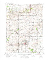
1952 Map of Mendota
USGS Topo · Published 1973About this map
Mendota serves as a critical rail junction where the Chicago Burlington and Quincy, Illinois Central, and Chicago and North Western railroads converge. This 1952 survey details the fertile agricultural landscape across the borders of Lee, LaSalle, and Bureau counties, highlighting the dense distribution of small community hubs like Sublette, Compton, and Triumph. The map preserves the locations of numerous rural institutions, from the St Marys Cem & Upton Cem near West Brooklyn to the Bauer Sch (Abandoned) in Troy Grove. The terrain is punctuated by watercourses like Big Bureau Creek and Little Vermilion Creek, while landmarks such as The Berg and Lake Mendota provide topographic variety. These features collectively illustrate an era of established family farms and localized rail-dependent commerce before the large-scale consolidation of the late 20th century.
Find a feature on this map
62 named features on this map. Tap any name to fly to it.
Don’t see what you’re looking for? This feature index may not catch every label — zoom into the map to look around manually.
Map Details
Editions of this 1952 Mendota Map
3 editions found

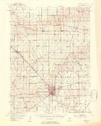
Other maps of this area

1892 · Ottawa
USGS Topo · 1:62,500

1893 · Hennepin
USGS Topo · 1:62,500

1893 · Lasalle
USGS Topo · 1:62,500

1909 · Hennepin
USGS Topo · 1:62,500

1911 · La Salle
USGS Topo · 1:62,500

1911 · Hennepin
USGS Topo · 1:62,500

1913 · La Salle
USGS Topo · 1:62,500

1915 · Ottawa
USGS Topo · 1:62,500

1918 · Dixon
USGS Topo · 1:62,500

1934 · De Kalb
USGS Topo · 1:62,500