Old Maps of Willow Creek Township, Illinois for Academic Research
Study the evolution of Willow Creek Township with 35 high-resolution historic maps. Whether you're teaching, researching, or modeling changes in land use, these maps provide essential visual documentation of urban, environmental, and geographic change.
- Analyze long-term change: Track patterns in development, transportation, and natural features.
- Ideal for environmental or urban studies: Support academic projects with primary historical map data.
- Use in the classroom or lab: Educators and researchers rely on these maps to bring historical context to life.
These maps are a powerful tool for teaching, research, and visualizing how Willow Creek Township has changed over the decades.
Willow Creek Township, IL maps
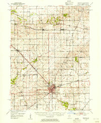
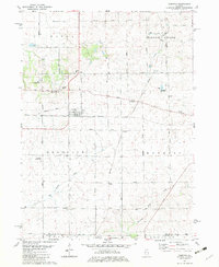
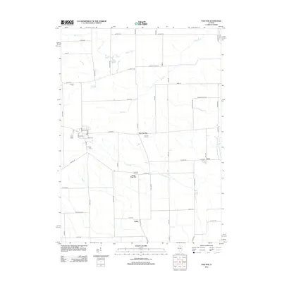
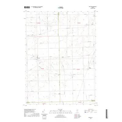
(35)- 1934 Map of De Kalb, 1965 Print
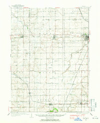 1934 De Kalb1965 Print · USGSDeKalb and its surrounding townships thrive as a major rail and highway hub during the mid-1930s. Researchers can trace dozens of country schoolhouses like Toad Hollow Sch and find family plots at Woodlawn Cem or Fairview Cem.
 - 1937 Map of De Kalb
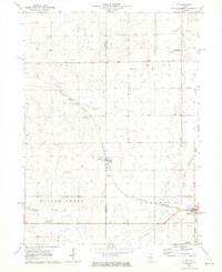
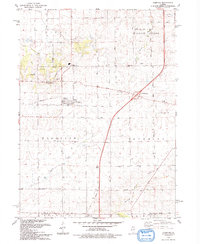
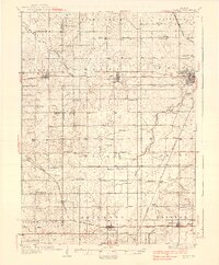 1937 De Kalb1937 Print · USGSMid-1930s De Kalb County is captured here as a thriving rail and agricultural hub during the peak of the Lincoln Highway era. Genealogists can trace family footprints across dozens of local school sites like Toad Hollow Sch and old cemeteries including Woodlawn Cem and Calvary Cem.2 unique versions available
 - 1951 Map of Earlville, 1952 Print
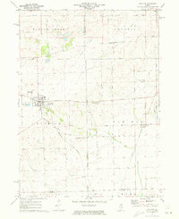
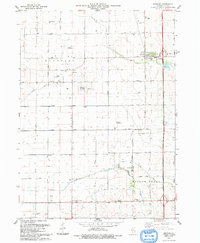
 1951 Earlville1952 Print · USGSThe rural crossroads of north-central Illinois come to life in this early fifties survey of the area surrounding Earlville and Leland. Genealogists can trace family ties at the Baker Cem or St Clara Cem and locate vanished schoolhouses like Austin Sch.2 unique versions available
 - 1952 Map of Rochelle, 1954 Print
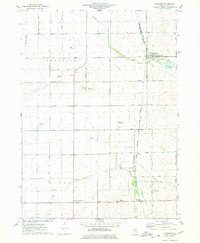
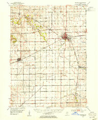 1952 Rochelle1954 Print · USGSOgle and Lee Counties in the early fifties reveal a landscape of thriving rural schools and critical rail junctions centered on Rochelle. Genealogists can trace local roots through numerous landmarks including Reynolds Ch, Twin Grove Cem, and Willow Center Sch.3 unique versions available
 - 1952 Map of Mendota, 1954 Print
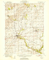
 1952 Mendota1954 Print · USGSMendota was a bustling railroad crossroads in the 1950s at the junction of three major lines. Genealogists can trace family roots through numerous country burial grounds and schoolhouses like Holy Cross Cem, Restland Cem, and Schlesinger Sch.3 unique versions available
 - 1958 Map of Aurora, 1969 Print
 1958 Aurora1969 Print · USGSNorthern Illinois in the late fifties shows a landscape of powerful river industry and expanding transport corridors. Genealogists and historians can trace the development of Aurora and Joliet or locate sites like the Elwood Ordnance Plant and Starved Rock.3 unique versions available
 - 1961 Map of Aurora
 1961 Aurora1961 Print · USGSNorthern Illinois at the height of the post-war era reveals a landscape of massive industrial works and thriving river towns. Genealogists and historians can trace the paths of the Lincoln Highway or locate long-standing landmarks like the Green River Ordnance Plant and Starved Rock State Park.
 - 1971 Map of Lee, 1973 Print
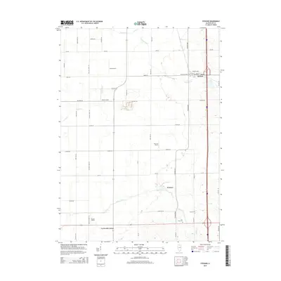
 1971 Lee1973 Print · USGSNorthern Illinois farm country in the early seventies is documented here as the Burlington Northern railroad connected rural hubs. Genealogists can locate family sites at Union Cem, Calvary Ch, or follow the Old Railroad Grade.
 - 1971 Map of Paw Paw, 1973 Print
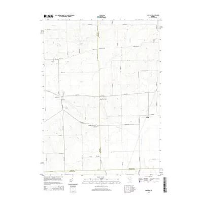
 1971 Paw Paw1973 Print · USGSNorthern Illinois farm country near the intersection of Lee, DeKalb, and La Salle Counties is shown here in the early 1970s. Trace family history at the Wyoming Cemetery, locate the Rogers Brothers Landing Strip, and follow the Chicago Burlington and Northern Railroad through Rollo and Radley.
 - 1975 Map of Steward, 1978 Print
 1975 Steward1978 Print · USGSSteward and the surrounding Illinois prairie are shown in the mid-1970s at the height of its rail-and-air utility. Researchers can trace family-named roads and rural infrastructure like Twelvemile Corner, Scarboro, and the Bresson Airport.
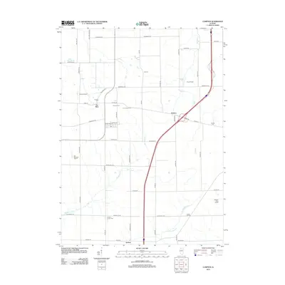
 - 1982 Map of Compton
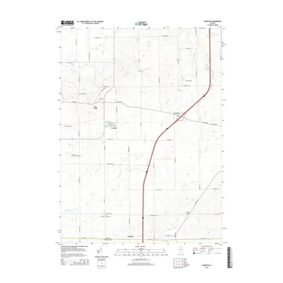
 1982 Compton1982 Print · USGSNorthern Illinois prairie life in the early eighties is mapped here at the junction of the Burlington Northern and Chicago and North Western. Researchers can trace rural lineages through family landmarks like Fisk Cem and the small settlement of The Burg.
 - 1985 Map of Dixon
 1985 Dixon1985 Print · USGSNorth-central Illinois in the mid-eighties was a land of river cities and expansive prairies defined by rail lines and private airfields. Researchers can locate family landmarks like Oakwood Cem, the Sword Landing Strip, and Sauk Valley College while tracing the C & N W railroad.2 unique versions available
 - 1985 Map of Aurora, 1989 Print
 1985 Aurora1989 Print · USGSNortheastern Illinois is captured in the mid-1980s as suburban growth began to bridge the gap between the Fox River cities and the outer prairies. Researchers can trace the development of Naperville and Aurora or locate rural landmarks like Fairview Cem and the Illinois and Michigan Canal.
 - 1993 Map of Compton
 1993 Compton1993 Print · USGSThe Illinois prairie around Compton is shown here in the early nineties as a landscape defined by its agricultural roots and old rail lines. Researchers can trace the Old Railroad Grade through Compton and locate historic sites like Fisk Cem and the settlement of The Burg.
 - 1993 Map of Steward
 1993 Steward1993 Print · USGSSteward and the surrounding Lee County townships are captured in the early 1990s as a landscape of productive fields and private airfields. Researchers can locate family landmarks like Twin Grove Cem, Twelvemile Corner, and the Ranken Landing Strip.
 - 2012 Map of Lee, 2012 Print
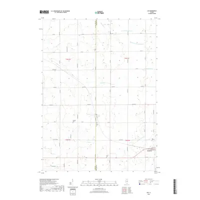
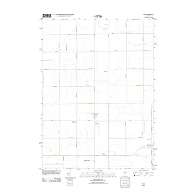 2012 Lee2012 Print · USGSCovers Willow Creek Township, including Shabbona, Lee, and other nearby areas
 - 2012 Map of Paw Paw, 2012 Print
 2012 Paw Paw2012 Print · USGSCovers Willow Creek Township, including Paw Paw, Paw Paw Township, and other nearby areas
 - 2012 Map of Steward, 2012 Print
 2012 Steward2012 Print · USGSCovers Willow Creek Township, including Steward, Reynolds Township, and other nearby areas
 - 2012 Map of Compton, 2012 Print
 2012 Compton2012 Print · USGSCovers Willow Creek Township, including Compton, Mendota Township, and other nearby areas
 - 2015 Map of Lee, 2015 Print
 2015 Lee2015 Print · USGSCovers Willow Creek Township, including Shabbona, Lee, and other nearby areas
 - 2015 Map of Paw Paw, 2015 Print
 2015 Paw Paw2015 Print · USGSCovers Willow Creek Township, including Paw Paw, Paw Paw Township, and other nearby areas
 - 2015 Map of Steward, 2015 Print
 2015 Steward2015 Print · USGSCovers Willow Creek Township, including Steward, Reynolds Township, and other nearby areas
 - 2015 Map of Compton, 2015 Print
 2015 Compton2015 Print · USGSCovers Willow Creek Township, including Compton, Mendota Township, and other nearby areas
 - 2018 Map of Lee, 2018 Print
 2018 Lee2018 Print · USGSCovers Willow Creek Township, including Shabbona, Lee, and other nearby areas
 - 2018 Map of Paw Paw, 2018 Print
 2018 Paw Paw2018 Print · USGSCovers Willow Creek Township, including Paw Paw, Paw Paw Township, and other nearby areas
Showing maps 1-25 of 35
Top cities near Willow Creek Township
- DeKalb historical maps
- Rochelle historical maps
- Mendota historical maps
- Earlville historical maps
- Waterman historical maps
- Hillcrest historical maps
See more
Top neighborhoods of Willow Creek Township
Frequently asked questions
- What are the different types of historical maps available for Willow Creek Township?
- What is the oldest map of Willow Creek Township?
- Where can I purchase historical maps of Willow Creek Township for my home or office?
- Where can I download high-res historical maps of Willow Creek Township?
- Are there historical topographic maps available for Willow Creek Township?
- Is there historical aerial imagery available for Willow Creek Township?
- Where are historical maps of Willow Creek Township sourced from?