Old Maps of Bearsdale, Illinois
Explore 10 old maps of Bearsdale, spanning from 1954 to today. These high-resolution historic maps reveal how streets, neighborhoods, landmarks, and natural features evolved over time — perfect for genealogy, metal detecting, research, and local history exploration.
What you can do with these maps:
- See how Bearsdale changed over time: Compare historical maps to modern-day views to trace roads, homesites, rail lines & more.
- View detailed metadata: Each map includes creators, publishers, year, scale, and archive source.
- Overlay maps with satellite & LiDAR: Visualize the past alongside modern tools to explore terrain & human change.
- Trusted historical sources: Maps sourced from the USGS, Library of Congress, and other archives.
- Access maps your way: View online, download high-res files, or order prints for personal or research use.
Start exploring old maps of Bearsdale to uncover forgotten places, hidden landmarks, and the deep history beneath your feet.
Bearsdale, IL maps
(10)- 1954 Map of Niantic, 1955 Print
 1954 Niantic1955 Print · USGSMid-century Macon County is defined here by its bustling rail corridors and the winding Sangamon River. Researchers can trace old family names at Lake Bank Cem or locate forgotten stops like Wyckles Corners and Bulldog Crossing.3 unique versions available
 - 1958 Map of Decatur, 1971 Print
 1958 Decatur1971 Print · USGSCentral Illinois in the mid-twentieth century shows a landscape defined by industrial rail hubs and the creation of large reservoirs. Researchers can trace historic corridors like the Penn Central or locate landmarks such as Lincoln Log Cabin State Park and Lake Springfield.3 unique versions available
 - 1961 Map of Decatur
 1961 Decatur1961 Print · USGSCentral Illinois in the late fifties was a bustling corridor of rail lines and prairie commerce centered on the state capital. Genealogists and historians can trace the intricate connections between Springfield, Decatur, and dozens of smaller settlements like Nokomis and Arcola.2 unique versions available
 - 1982 Map of Warrensburg, 1983 Print
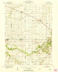
 1982 Warrensburg1983 Print · USGSWarrensburg and the surrounding townships of Illini and Austin are shown here in the early eighties as the railroad still anchored the local economy. Researchers can locate family landmarks like Illini Ch Cem, the Warrensburg-Latham Sch, and the small settlement of Bearsdale.
 - 1985 Map of Springfield
 1985 Springfield1985 Print · USGSCentral Illinois during the mid-eighties shows a landscape of growing state capital influence and deep historical roots. Genealogists and historians can trace family sites near Oak Ridge Cem or follow the path of the Sangamon River past Williamsville and Riverton.2 unique versions available
 - 2012 Map of Warrensburg, 2012 Print
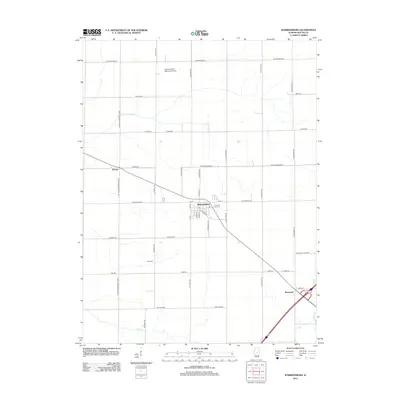 2012 Warrensburg2012 Print · USGSCovers Bearsdale, including Decatur, Warrensburg, and other nearby areas
 - 2015 Map of Warrensburg, 2015 Print
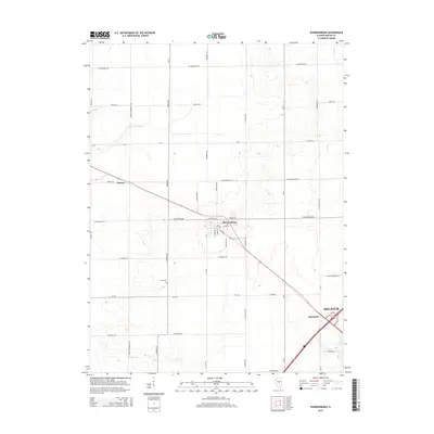 2015 Warrensburg2015 Print · USGSCovers Bearsdale, including Decatur, Warrensburg, and other nearby areas
 - 2018 Map of Warrensburg, 2018 Print
 2018 Warrensburg2018 Print · USGSCovers Bearsdale, including Decatur, Warrensburg, and other nearby areas
 - 2021 Map of Warrensburg, 2021 Print
 2021 Warrensburg2021 Print · USGSCovers Bearsdale, including Decatur, Warrensburg, and other nearby areas
 - 2024 Map of Warrensburg, 2024 Print
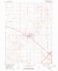
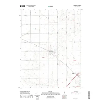
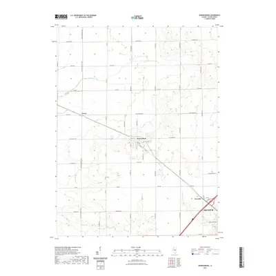
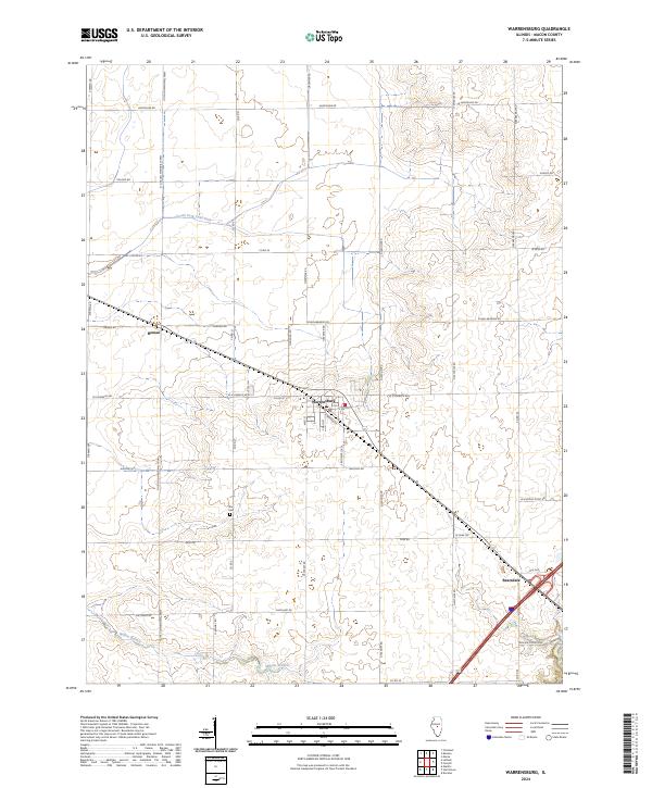 2024 Warrensburg2024 Print · USGSWarrensburg and the Illinois prairie landscape are captured here in the contemporary era. Researchers can trace rural family roots at Illini Cem and locate historic settlement nodes like Heman and Bearsdale among the township section lines.
End of results
Showing maps 1-10 of 10
Top cities near Bearsdale
- Decatur historical maps
- Mount Zion historical maps
- Forsyth historical maps
- Maroa historical maps
- Long Creek historical maps
- Harristown historical maps
See more
Frequently asked questions
- What are the different types of historical maps available for Bearsdale?
- What is the oldest map of Bearsdale?
- Where can I purchase historical maps of Bearsdale for my home or office?
- Where can I download high-res historical maps of Bearsdale?
- Are there historical topographic maps available for Bearsdale?
- Is there historical aerial imagery available for Bearsdale?
- Where are historical maps of Bearsdale sourced from?