2000s (21st Century) Maps of Mount Zion, Illinois
Explore 10 historic maps of Mount Zion from the 2000s (21st Century). These maps offer a rare glimpse into what life looked like during the 2000s — showing old roads, neighborhoods, homes, and landmarks that have changed or disappeared over time.
Whether you're researching your family's past, planning a metal detecting trip, or studying how Mount Zion's landscape evolved across the 2000s, these high-resolution maps are a powerful tool for exploring the history of this region.
- Focus on a specific era: All maps on this page are from the 2000s, giving you a focused view of this time period.
- See what’s changed: Compare century-old streets, trails, and buildings to today's modern landscape using overlays and satellite layers.
- Research with precision: Use these maps for genealogy, historical research, land use analysis, or educational projects.
- View, download, or print: Maps are fully viewable online in high resolution, and can be downloaded or printed for your own records.
Start exploring Mount Zion's history through authentic maps from the 2000s. This is your window into the past.
Mount Zion, IL maps
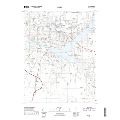
(10)- 2012 Map of Decatur, 2012 Print
 2012 Decatur2012 Print · USGSCovers Mount Zion, including Decatur, Long Creek, and other nearby areas
 - 2012 Map of Long Creek, 2012 Print
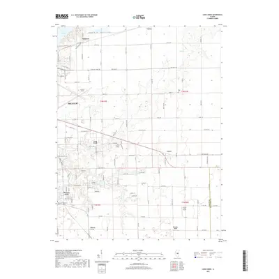
 2012 Long Creek2012 Print · USGSCovers Mount Zion, including Decatur, Long Creek, and other nearby areas
 - 2015 Map of Long Creek, 2015 Print
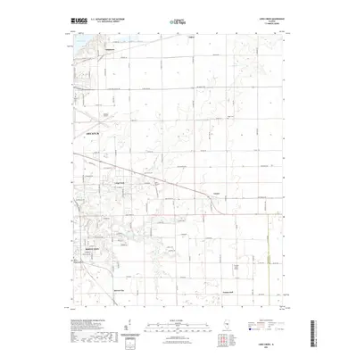
 2015 Long Creek2015 Print · USGSCovers Mount Zion, including Decatur, Long Creek, and other nearby areas
 - 2015 Map of Decatur, 2015 Print
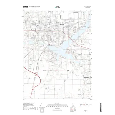
 2015 Decatur2015 Print · USGSCovers Mount Zion, including Decatur, Long Creek, and other nearby areas
 - 2018 Map of Decatur, 2018 Print
 2018 Decatur2018 Print · USGSCovers Mount Zion, including Decatur, Long Creek, and other nearby areas
 - 2018 Map of Long Creek, 2018 Print
 2018 Long Creek2018 Print · USGSCovers Mount Zion, including Decatur, Long Creek, and other nearby areas
 - 2021 Map of Long Creek, 2021 Print
 2021 Long Creek2021 Print · USGSCovers Mount Zion, including Decatur, Long Creek, and other nearby areas
 - 2021 Map of Decatur, 2021 Print
 2021 Decatur2021 Print · USGSCovers Mount Zion, including Decatur, Long Creek, and other nearby areas
 - 2024 Map of Long Creek, 2024 Print
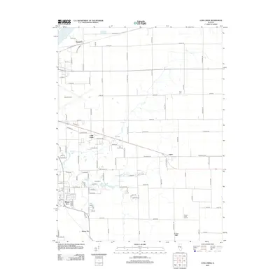
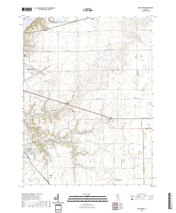 2024 Long Creek2024 Print · USGSEast of Decatur in the 2020s, this area shows a landscape of aviation and agriculture bounded by the Sangamon River. Researchers can locate family landmarks like Florey Cem, the community of Hervey City, and the grounds of Decatur Airport.
 - 2024 Map of Decatur, 2024 Print
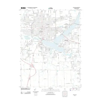
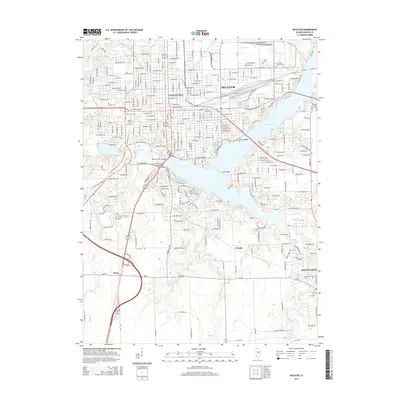
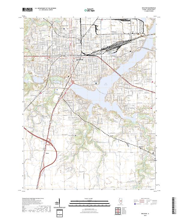 2024 Decatur2024 Print · USGSDecatur and its surrounding Macon County communities are shown here in modern detail, from the industrial A E Staley site to the campus of Millikin University. Researchers can trace local history through the many burial grounds like Greenwood Cem and Mount Zion Cem.
End of results
Showing maps 1-10 of 10
Top cities near Mount Zion
- Decatur historical maps
- Forsyth historical maps
- Moweaqua historical maps
- Cerro Gordo historical maps
- Long Creek historical maps
- Harristown historical maps
See more
Frequently asked questions
- What are the different types of historical maps available for Mount Zion?
- What is the oldest map of Mount Zion?
- Where can I purchase historical maps of Mount Zion for my home or office?
- Where can I download high-res historical maps of Mount Zion?
- Are there historical topographic maps available for Mount Zion?
- Is there historical aerial imagery available for Mount Zion?
- Where are historical maps of Mount Zion sourced from?