Old Maps of Lake Ka-Ho, Illinois for Metal Detecting
Plan your next treasure hunt with 20 historic maps of Lake Ka-Ho. Find old homesites, ghost towns, trails, and gathering spots that may be lost to time — perfect for identifying promising metal detecting locations.
- Locate forgotten sites: Uncover places like long-lost settlements, abandoned rail lines, or gathering spots.
- Plan better hunts: Use map overlays combined with LiDAR or satellite views to narrow in on historically rich areas.
- Made for detectorists: Thousands of hobbyists use these maps to discover relics, coins, and hidden history.
Use these historic maps to boost your research and find new opportunities beneath the surface of Lake Ka-Ho.
Lake Ka-Ho, IL maps
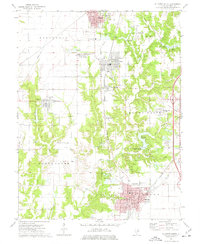
(20)- 1912 Map of Gillespie, 1971 Print
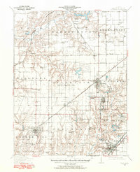 1912 Gillespie1971 Print · USGSMacoupin County at the height of its mining and rail era reveals a landscape of industrial towns and dense rural school districts. Genealogists and historians can trace numerous named institutions like Spanish Needle School, the Wayne Cem, and coal operations like Mine No 7.
 - 1915 Map of Gillespie
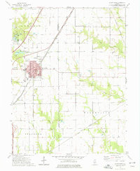
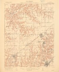 1915 Gillespie1915 Print · USGSMacoupin County at the height of its coal-mining era is detailed here, showing a landscape defined by rail junctions and small mining towns. Genealogists and historians can trace defunct schoolhouses like Spanish Needle School and rural landmarks such as Corrington Chapel or the Coal Washer.3 unique versions available
 - 1915 Map of Mount Olive
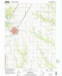
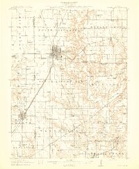 1915 Mount Olive1915 Print · USGSCentral Illinois at the height of the steam era reveals a landscape shaped by competing railroads and dense rural school districts. Genealogists can trace family footprints through numerous local landmarks like Ritchie School, Robbs Mound, and the many lines of the Illinois Traction.3 unique versions available
 - 1944 Map of Mount Olive, 1965 Print
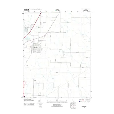
 1944 Mount Olive1965 Print · USGSCentral Illinois during the mid-forties reveals a landscape defined by industrial rail junctions and dozens of rural school districts. Genealogists can locate family-named landmarks like Hardenburg School, Ware Grove School, and the community of Walshville along the Chicago and Northwestern tracks.
 - 1958 Map of Decatur, 1971 Print
 1958 Decatur1971 Print · USGSCentral Illinois in the mid-twentieth century shows a landscape defined by industrial rail hubs and the creation of large reservoirs. Researchers can trace historic corridors like the Penn Central or locate landmarks such as Lincoln Log Cabin State Park and Lake Springfield.3 unique versions available
 - 1961 Map of Decatur
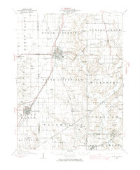
 1961 Decatur1961 Print · USGSCentral Illinois in the late fifties was a bustling corridor of rail lines and prairie commerce centered on the state capital. Genealogists and historians can trace the intricate connections between Springfield, Decatur, and dozens of smaller settlements like Nokomis and Arcola.2 unique versions available
 - 1974 Map of Gillespie South, 1977 Print
 1974 Gillespie South1977 Print · USGSThe Macoupin County coal and rail corridor is captured here in the mid-seventies, showing the close-knit proximity of towns like Gillespie and Benld. Researchers can trace old family burial grounds like Tine Sawyer Cem and defunct rail lines including the Old RR Grade.
 - 1974 Map of Mount Olive, 1977 Print
 1974 Mount Olive1977 Print · USGSMount Olive and the surrounding townships of Macoupin and Montgomery Counties appear here in the mid-seventies during a period of established rail and local industry. Genealogists and local historians can trace family locations near City Cem, the Drive-in Theater, and the small settlement of Carlinburg.
 - 1982 Map of Litchfield
 1982 Litchfield1982 Print · USGSThe coal and rail corridors of Central Illinois are captured here in the early eighties as the region balanced industrial mining with its agricultural roots. Researchers can trace family history through sites like Zelmer Memorial Cemetery or the grounds of Blackburn College and the Crown Mine No 1.
 - 1998 Map of Mount Olive, 2002 Print
 1998 Mount Olive2002 Print · USGSMount Olive and the surrounding Illinois prairie are shown here as they appeared in the late twentieth century. Researchers can trace historic family burial sites at St Johns Cem or follow the path of the Old Railroad Grade and Karnes Siding.
 - 2012 Map of Mount Olive, 2012 Print
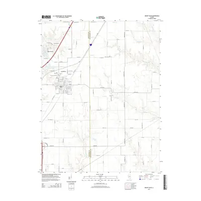
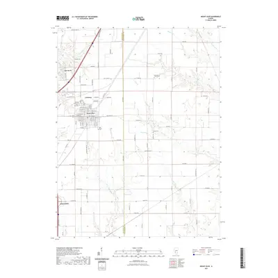
 2012 Mount Olive2012 Print · USGSCovers Lake Ka-Ho, including Staunton, Mount Olive, and other nearby areas
 - 2012 Map of Gillespie South, 2012 Print
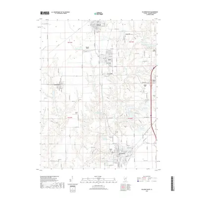
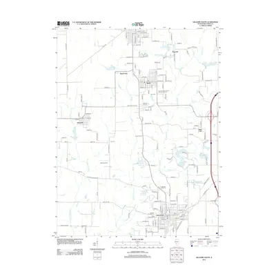 2012 Gillespie South2012 Print · USGSCovers Lake Ka-Ho, including Staunton, Gillespie, and other nearby areas
 - 2015 Map of Gillespie South, 2015 Print
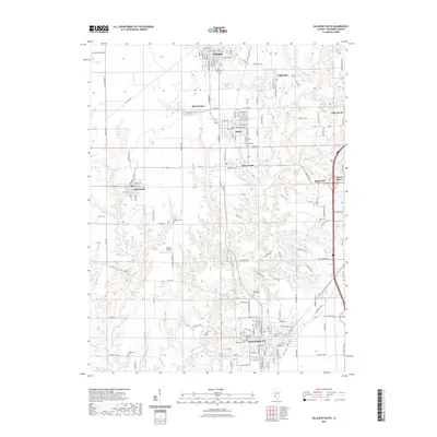
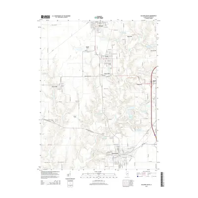 2015 Gillespie South2015 Print · USGSCovers Lake Ka-Ho, including Staunton, Gillespie, and other nearby areas
 - 2015 Map of Mount Olive, 2015 Print
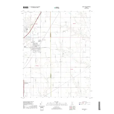
 2015 Mount Olive2015 Print · USGSCovers Lake Ka-Ho, including Staunton, Mount Olive, and other nearby areas
 - 2018 Map of Mount Olive, 2018 Print
 2018 Mount Olive2018 Print · USGSCovers Lake Ka-Ho, including Staunton, Mount Olive, and other nearby areas
 - 2018 Map of Gillespie South, 2018 Print
 2018 Gillespie South2018 Print · USGSCovers Lake Ka-Ho, including Staunton, Gillespie, and other nearby areas
 - 2021 Map of Mount Olive, 2021 Print
 2021 Mount Olive2021 Print · USGSCovers Lake Ka-Ho, including Staunton, Mount Olive, and other nearby areas
 - 2021 Map of Gillespie South, 2021 Print
 2021 Gillespie South2021 Print · USGSCovers Lake Ka-Ho, including Staunton, Gillespie, and other nearby areas
 - 2024 Map of Mount Olive, 2024 Print
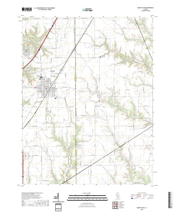 2024 Mount Olive2024 Print · USGSMount Olive and the Macoupin County countryside are captured here in recent years, showing the area's continued agricultural and residential evolution. Researchers can trace local heritage at the Union Miners church or through various burial grounds like Saint Johns Lutheran Cem and Griswold Cem.
 - 2024 Map of Gillespie South, 2024 Print
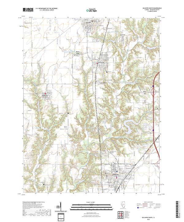 2024 Gillespie South2024 Print · USGSMacoupin County at the present day reveals a landscape defined by historic coal towns and winding creek valleys. Researchers can trace local genealogy and land use across Staunton, the Willhoit Airport, and numerous rural burial grounds like Sawyer Cem.
End of results
Showing maps 1-20 of 20
Top cities near Lake Ka-Ho
- Litchfield historical maps
- Carlinville historical maps
- Staunton historical maps
- Gillespie historical maps
- Mount Olive historical maps
- Bunker Hill historical maps
See more
Top neighborhoods of Lake Ka-Ho
Frequently asked questions
- What are the different types of historical maps available for Lake Ka-Ho?
- What is the oldest map of Lake Ka-Ho?
- Where can I purchase historical maps of Lake Ka-Ho for my home or office?
- Where can I download high-res historical maps of Lake Ka-Ho?
- Are there historical topographic maps available for Lake Ka-Ho?
- Is there historical aerial imagery available for Lake Ka-Ho?
- Where are historical maps of Lake Ka-Ho sourced from?