2000s (21st Century) Maps of Bethalto, Illinois
Explore 10 historic maps of Bethalto from the 2000s (21st Century). These maps offer a rare glimpse into what life looked like during the 2000s — showing old roads, neighborhoods, homes, and landmarks that have changed or disappeared over time.
Whether you're researching your family's past, planning a metal detecting trip, or studying how Bethalto's landscape evolved across the 2000s, these high-resolution maps are a powerful tool for exploring the history of this region.
- Focus on a specific era: All maps on this page are from the 2000s, giving you a focused view of this time period.
- See what’s changed: Compare century-old streets, trails, and buildings to today's modern landscape using overlays and satellite layers.
- Research with precision: Use these maps for genealogy, historical research, land use analysis, or educational projects.
- View, download, or print: Maps are fully viewable online in high resolution, and can be downloaded or printed for your own records.
Start exploring Bethalto's history through authentic maps from the 2000s. This is your window into the past.
Bethalto, IL maps
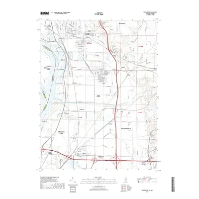
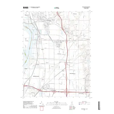
(10)- 2012 Map of Wood River, 2012 Print
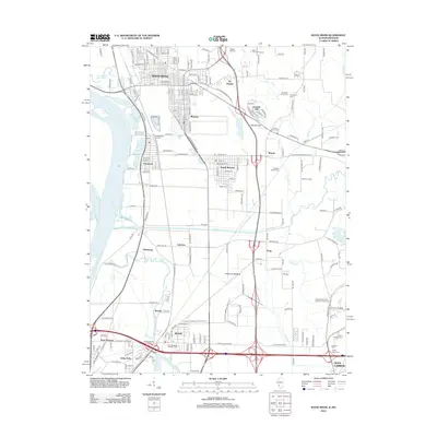 2012 Wood River2012 Print · USGSCovers Bethalto, including Granite City, Edwardsville, and other nearby areas
 - 2012 Map of Bethalto, 2012 Print
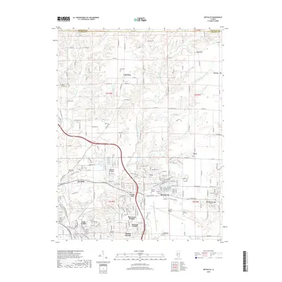
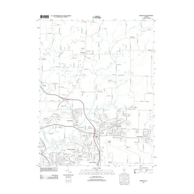 2012 Bethalto2012 Print · USGSCovers Bethalto, including Alton, Wood River, and other nearby areas
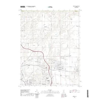
 - 2015 Map of Bethalto, 2015 Print
 2015 Bethalto2015 Print · USGSCovers Bethalto, including Alton, Wood River, and other nearby areas
 - 2015 Map of Wood River, 2015 Print
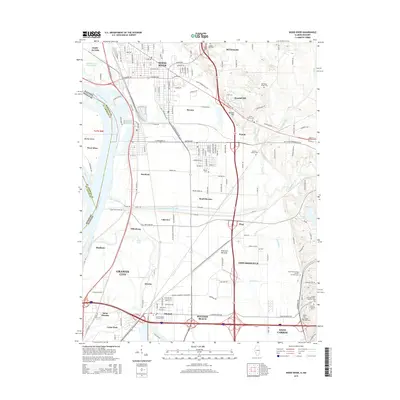 2015 Wood River2015 Print · USGSCovers Bethalto, including Granite City, Edwardsville, and other nearby areas
 - 2018 Map of Wood River, 2018 Print
 2018 Wood River2018 Print · USGSCovers Bethalto, including Granite City, Edwardsville, and other nearby areas
 - 2018 Map of Bethalto, 2018 Print
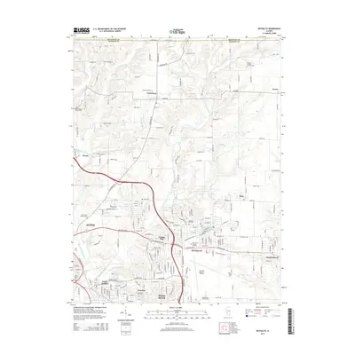
 2018 Bethalto2018 Print · USGSCovers Bethalto, including Alton, Wood River, and other nearby areas
 - 2021 Map of Bethalto, 2021 Print
 2021 Bethalto2021 Print · USGSCovers Bethalto, including Alton, Wood River, and other nearby areas
 - 2021 Map of Wood River, 2021 Print
 2021 Wood River2021 Print · USGSCovers Bethalto, including Granite City, Edwardsville, and other nearby areas
 - 2024 Map of Bethalto, 2024 Print
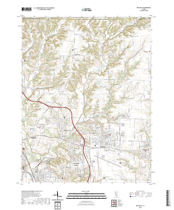 2024 Bethalto2024 Print · USGSThe communities of Madison County north of the industrial riverbend show a mix of suburban growth and traditional rural layouts. Trace family roots at the Pruett Family Cem or study the grounds of the St Louis Regional Airport and Alton State Hospital.
 - 2024 Map of Wood River, 2024 Print
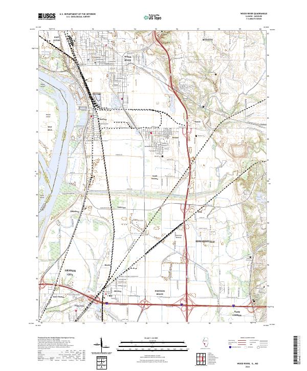 2024 Wood River2024 Print · USGSModern Madison County industry meets deep-rooted history in this 2024 landscape of the Mississippi floodplain. Researchers can trace ancestral burial sites at Nix-Judy Pioneer Cem and Springley Cem or explore the massive Cahokia Diversion Channel.
End of results
Showing maps 1-10 of 10
Top cities near Bethalto
- Granite City historical maps
- Edwardsville historical maps
- Alton historical maps
- Collinsville historical maps
- Old Jamestown historical maps
- Ferguson historical maps
See more
Frequently asked questions
- What are the different types of historical maps available for Bethalto?
- What is the oldest map of Bethalto?
- Where can I purchase historical maps of Bethalto for my home or office?
- Where can I download high-res historical maps of Bethalto?
- Are there historical topographic maps available for Bethalto?
- Is there historical aerial imagery available for Bethalto?
- Where are historical maps of Bethalto sourced from?