Old Maps of Bethalto, Illinois for Academic Research
Study the evolution of Bethalto with 25 high-resolution historic maps. Whether you're teaching, researching, or modeling changes in land use, these maps provide essential visual documentation of urban, environmental, and geographic change.
- Analyze long-term change: Track patterns in development, transportation, and natural features.
- Ideal for environmental or urban studies: Support academic projects with primary historical map data.
- Use in the classroom or lab: Educators and researchers rely on these maps to bring historical context to life.
These maps are a powerful tool for teaching, research, and visualizing how Bethalto has changed over the decades.
Bethalto, IL maps
(25)- 1927 Map of Alton
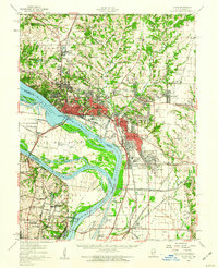
 1927 Alton1927 Print · USGSThe industrial and riverfront corridor of the Mississippi and Missouri confluence is captured here during a period of heavy rail and ferry traffic. Researchers can trace historic family locations through dozens of rural landmarks like Monticello Seminary, Greenwood Cem, and the City of St Louis Farms.
 - 1934 Map of Alton
 1934 Alton1934 Print · USGSThe confluence of the Mississippi and Missouri rivers in the early 1930s shows a dense industrial and rail corridor centered on Alton. Genealogists and researchers can trace dozens of rural schools and landmarks like Monticello Seminary, Mt Olive Church, and the City of St Louis Farms.2 unique versions available
 - 1948 Map of Wood River, 1955 Print
 1948 Wood River1955 Print · USGSMadison County industrial hubs and river lowlands are captured here in the late 1940s as the regional energy sector expanded. Genealogists and historians can trace the foundations of Wood River refineries alongside local landmarks like St Paul Ch and the North Coal Mine.
 - 1949 Map of Saint Louis
 1949 Saint Louis1949 Print · USGSGreater St. Louis and its surrounding river valleys are captured here just after the war, showing the metropolitan core and the rural Ozark fringe. Researchers can trace the sprawling rail network of the Wabash RR or locate landmarks like Meramec Caverns Airport and Scott Air Force Base.2 unique versions available
 - 1949 Map of Bethalto
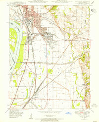
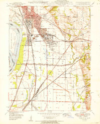
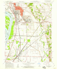
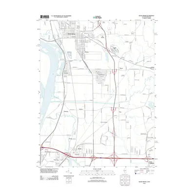
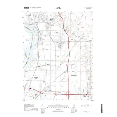
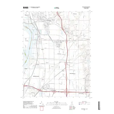
 1949 Bethalto1949 Print · USGSMadison County's post-war landscape comes alive in this late 1940s survey of the growing railroad and aviation corridor near the Mississippi. Genealogists and historians can trace the roots of local communities through landmarks like the Alton State Hospital, Ardent Mine, and rural schools like Sherfy Sch.
 - 1951 Map of Wood River
 1951 Wood River1951 Print · USGSThe industrial heart of Madison County comes into focus in the early 1950s, showing the massive refining operations and rail hubs along the Mississippi. Researchers can trace local history through the Oil Refinery sites, Bohm Sch, and Sunset Hill Cem.
 - 1954 Map of Bethalto, 1959 Print
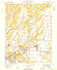
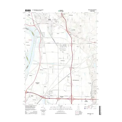
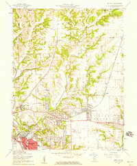 1954 Bethalto1959 Print · USGSThe industrial corridor of Madison County meets growing postwar suburbs in the mid-fifties. Researchers can locate vanished landmarks like the Mt Olive Ch (Abandoned) and Hines Sch (Abandoned) or trace the sprawling Alton State Hospital grounds.5 unique versions available
 - 1955 Map of Wood River, 1959 Print
 1955 Wood River1959 Print · USGSMid-century Madison County thrives at the junction of heavy industry and historic bottomlands as the postwar rail network expands. Researchers can trace family roots through the Wanda Cem or locate the Indian Mounds and the Sunset Speedway.4 unique versions available
 - 1955 Map of Alton, 1960 Print
 1955 Alton1960 Print · USGSThe industrial riverfronts and expanding rail corridors of the Metro East are captured here in the mid-fifties. Researchers can trace the development of Alton State Hospital, the grounds of Monticello College, and historic sites like Fort Bellefontaine.2 unique versions available
 - 1962 Map of St. Louis
 1962 St. Louis1962 Print · USGSThe mid-century gateway to the west shows the metropolitan expansion of St Louis alongside its critical river confluences. Genealogists and historians can trace the rail corridors of the Missouri Pacific RR and settlements from Fulton to De Soto.
 - 1963 Map of St. Louis, 1970 Print
 1963 St. Louis1970 Print · USGSSt. Louis and its surrounding river valleys are captured here during the peak of mid-century suburban expansion and industrial activity. Trace the historic rail routes of the Norfolk and Western Ry or locate the St Louis Ordnance Plant and early stretches of US Highway 66.4 unique versions available
 - 1966 Map of St. Louis
 1966 St. Louis1966 Print · USGSThe St. Louis metropolitan area and its surrounding river valleys are captured here during the mid-sixties era of suburban growth and industrial strength. Genealogists and historians can trace the foundations of local communities through sites like Old Pioneer Cem, Parks College, and the Jefferson Barracks Military Reservation.
 - 1985 Map of St Louis
 1985 St Louis1985 Print · USGSThe St. Louis metropolitan area and its river confluences are captured here during a period of significant suburban expansion in the 1980s. Genealogists and historians can trace the development of older neighborhoods and landmarks like Jefferson Barracks, Cahokia Mounds State Park, and Washington University.3 unique versions available
 - 1993 Map of Bethalto, 1996 Print
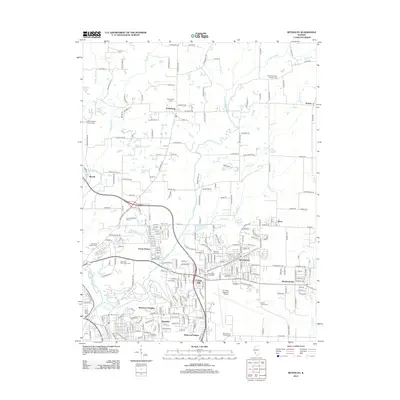
 1993 Bethalto1996 Print · USGSMadison County's residential and industrial growth is captured here in the 1990s as suburban expansion nears rural Macoupin County. Genealogists can trace family sites at Fosterburg Cem or locate the Alton Mental Health Ctr and St Louis Regional Airport.
 - 1994 Map of Wood River, 1995 Print
 1994 Wood River1995 Print · USGSThe industrial heart of Madison County and the lowlands of the Mississippi floodplain are detailed in this mid-nineties survey. Genealogists and local historians can trace family sites at Springley Cem, the grounds of Southern Illinois University, or the old rail stops at Poag.2 unique versions available
 - 2012 Map of Wood River, 2012 Print
 2012 Wood River2012 Print · USGSCovers Bethalto, including Granite City, Edwardsville, and other nearby areas
 - 2012 Map of Bethalto, 2012 Print
 2012 Bethalto2012 Print · USGSCovers Bethalto, including Alton, Wood River, and other nearby areas
 - 2015 Map of Bethalto, 2015 Print
 2015 Bethalto2015 Print · USGSCovers Bethalto, including Alton, Wood River, and other nearby areas
 - 2015 Map of Wood River, 2015 Print
 2015 Wood River2015 Print · USGSCovers Bethalto, including Granite City, Edwardsville, and other nearby areas
 - 2018 Map of Wood River, 2018 Print
 2018 Wood River2018 Print · USGSCovers Bethalto, including Granite City, Edwardsville, and other nearby areas
 - 2018 Map of Bethalto, 2018 Print
 2018 Bethalto2018 Print · USGSCovers Bethalto, including Alton, Wood River, and other nearby areas
 - 2021 Map of Bethalto, 2021 Print
 2021 Bethalto2021 Print · USGSCovers Bethalto, including Alton, Wood River, and other nearby areas
 - 2021 Map of Wood River, 2021 Print
 2021 Wood River2021 Print · USGSCovers Bethalto, including Granite City, Edwardsville, and other nearby areas
 - 2024 Map of Bethalto, 2024 Print
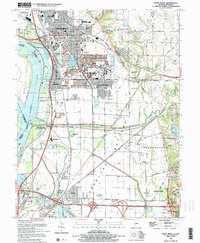
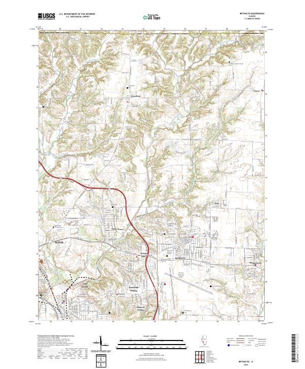 2024 Bethalto2024 Print · USGSThe communities of Madison County north of the industrial riverbend show a mix of suburban growth and traditional rural layouts. Trace family roots at the Pruett Family Cem or study the grounds of the St Louis Regional Airport and Alton State Hospital.
 - 2024 Map of Wood River, 2024 Print
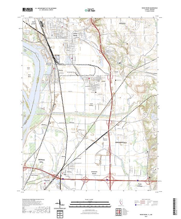 2024 Wood River2024 Print · USGSModern Madison County industry meets deep-rooted history in this 2024 landscape of the Mississippi floodplain. Researchers can trace ancestral burial sites at Nix-Judy Pioneer Cem and Springley Cem or explore the massive Cahokia Diversion Channel.
End of results
Showing maps 1-25 of 25
Top cities near Bethalto
- Granite City historical maps
- Edwardsville historical maps
- Alton historical maps
- Collinsville historical maps
- Old Jamestown historical maps
- Ferguson historical maps
See more
Frequently asked questions
- What are the different types of historical maps available for Bethalto?
- What is the oldest map of Bethalto?
- Where can I purchase historical maps of Bethalto for my home or office?
- Where can I download high-res historical maps of Bethalto?
- Are there historical topographic maps available for Bethalto?
- Is there historical aerial imagery available for Bethalto?
- Where are historical maps of Bethalto sourced from?