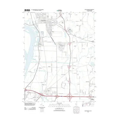
2012 Map of Wood River
USGS Topo · Published 2012About this map
Industrial infrastructure and historic burial grounds mark the landscape of the American Bottoms in this 2012 survey. Centered around the heavy industry of Wood River and Roxana, the map details a complex network of transportation and water management, including the Cahokia Diversion Channel and the Chain of Rocks Canal along the Mississippi River. Genealogists will find a wealth of family-named burial sites concentrated near Wanda and Glen Carbon, such as the Springley Family Cem, Smith Family Cem, and Sanders Family Cem. The terrain rises from the floodplains toward Kendall Hill, while the southern reaches show the intersection of residential growth in Mitchell and Brooks with the commercial facilities of the Roxana Landfill. This survey records a moment of transition where legacy agricultural land and family plots meet modern arterial roads and environmental engineering.
Find a feature on this map
185 named features on this map. Tap any name to fly to it.
Don’t see what you’re looking for? This feature index may not catch every label — zoom into the map to look around manually.
Map Details
Editions of this 2012 Wood River Map
This is the sole edition of this map. No revisions or reprints were ever made.
Other maps of this area

1888 · St. Louis
USGS Topo · 1:62,500

1907 · Belleville
USGS Topo · 1:62,500

1927 · Alton
USGS Topo · 1:62,500

1927 · Edwardsville
USGS Topo · 1:62,500

1932 · Edwardsville
USGS Topo · 1:62,500

1933 · Granite City
USGS Topo · 1:24,000

1934 · Alton
USGS Topo · 1:62,500

1935 · Granite City
USGS Topo · 1:24,000

1935 · Monks Mound
USGS Topo · 1:24,000

1935 · Columbia Bottom
USGS Topo · 1:24,000