
1935 Map of Monks Mound
USGS Topo · Published 1935About this map
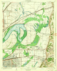
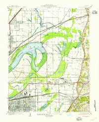
Cahokia Mounds State Park serves as a focal point of this 1930s landscape, featuring the massive Monks Mound and the nearby Rattlesnake Mound. This mid-depression era survey captures a complex intersection of ancient earthworks and early 20th-century industry, where the Cahokia Canal and various drainage ditches crisscross the bottomlands surrounding Horseshoe Lake. The area is a dense hub of transportation, with numerous rail lines like the Alton and Southern RR and the Illinois Terminal RR weaving through emerging residential developments such as Fairmont City and Washington Park. Local leisure and social hubs are clearly marked, including the Fairmont Jockey Club and the Madison Kennel Club, providing a clear picture of the region's recreational life before mid-century expansion. Small rural schoolhouses like Bullfrog Sta Sch and Pleasant Grove Schoolhouse pepper the landscape, offering valuable data for genealogists tracing family roots in these shifting Illinois communities.
Find a feature on this map
62 named features on this map. Tap any name to fly to it.
Don’t see what you’re looking for? This feature index may not catch every label — zoom into the map to look around manually.
Map Details
Editions of this 1935 Monks Mound Map
3 editions found
Other maps of this area

1888 · St. Louis
USGS Topo · 1:62,500

1907 · Belleville
USGS Topo · 1:62,500

1927 · Alton
USGS Topo · 1:62,500

1927 · Edwardsville
USGS Topo · 1:62,500

1931 · French Village
USGS Topo · 1:24,000

1932 · Edwardsville
USGS Topo · 1:62,500

1933 · Granite City
USGS Topo · 1:24,000

1933 · Cahokia
USGS Topo · 1:24,000

1934 · Cahokia
USGS Topo · 1:24,000

1934 · Alton
USGS Topo · 1:62,500