Old Maps of Holiday Shores, Illinois for Academic Research
Study the evolution of Holiday Shores with 13 high-resolution historic maps. Whether you're teaching, researching, or modeling changes in land use, these maps provide essential visual documentation of urban, environmental, and geographic change.
- Analyze long-term change: Track patterns in development, transportation, and natural features.
- Ideal for environmental or urban studies: Support academic projects with primary historical map data.
- Use in the classroom or lab: Educators and researchers rely on these maps to bring historical context to life.
These maps are a powerful tool for teaching, research, and visualizing how Holiday Shores has changed over the decades.
Holiday Shores, IL maps
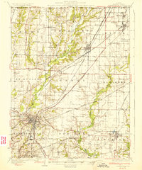
(13)- 1927 Map of Edwardsville, 1957 Print
 1927 Edwardsville1957 Print · USGSMadison County at the end of the twenties shows a landscape defined by coal mining and a complex web of steam and electric rail. Genealogists and historians can trace family-named landmarks and rural hubs like the Klondike Mine, St Johns Ch, and dozens of country schools from Yorkville Sch to Sylvan Hill Sch.
 - 1932 Map of Edwardsville
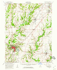
 1932 Edwardsville1932 Print · USGSMadison County in the early thirties was a bustling intersection of coal mining and heavy rail. Genealogists can trace family names through dozens of rural schools and landmarks like the Klondike Mine, Sunset Hills Cem, and Le Claire.2 unique versions available
 - 1954 Map of Prairietown, 1959 Print
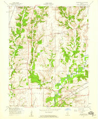 1954 Prairietown1959 Print · USGSMadison County farming communities thrive in the mid-1950s along the winding banks of Cahokia Creek. Researchers can locate numerous local landmarks like Yorkville Sch, St Johns Ch, and the Liberty Prairie Cem.3 unique versions available
 - 1954 Map of Edwardsville, 1960 Print
 1954 Edwardsville1960 Print · USGSMadison County in the mid-fifties reveals a landscape defined by the intersection of coal-era rail lines and expanding suburban settlements. Local historians can trace the legacy of small-town institutions like Quercus Grove Sch, the residential tracts of LeClaire, and the industrial footprint of the Mine Dump near Worden.
 - 1958 Map of Belleville, 1973 Print
 1958 Belleville1973 Print · USGSSouthern Illinois during the mid-twentieth century reveals a landscape of industrial growth and massive new reservoirs. Genealogists and historians can trace the paths of the Illinois Central RR through towns like Centralia or locate landmarks such as Emerald Mound and the Looking Glass Prairie.3 unique versions available
 - 1962 Map of Belleville
 1962 Belleville1962 Print · USGSSouthern Illinois in the late fifties reveals a landscape of industrial growth and ancient landmarks before the full expansion of the interstate system. Genealogists can trace family names and rural post offices near Centralia, Salem, and the historic Monks Mound.
 - 1985 Map of Carlyle Lake
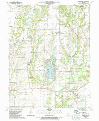
 1985 Carlyle Lake1985 Print · USGSSouthwestern Illinois in the mid-eighties shows a landscape of growing commuter suburbs and massive water management projects. Genealogists and historians can locate family plots at Lakeview Memorial Gardens Cem or trace the early footprint of Southern Illinois Univ (Edwardsville).2 unique versions available
 - 1990 Map of Prairietown, 1991 Print
 1990 Prairietown1991 Print · USGSMadison County's rural townships are captured here in the early nineties, showing a landscape of family farms and emerging lakeside residential life. Researchers can trace ancestral locations through several country churches and burial sites like St Johns Ch, Meyer Cem, and the Paddock Cem.
 - 2012 Map of Prairietown, 2012 Print
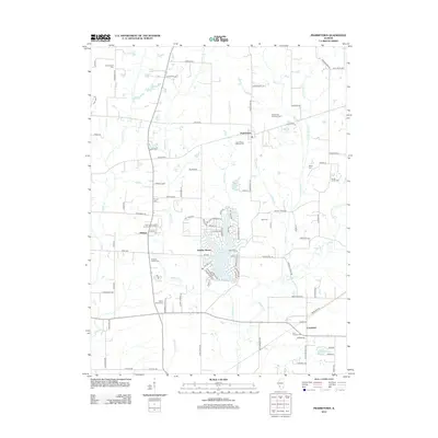 2012 Prairietown2012 Print · USGSCovers Holiday Shores, including Carpenter, Prairietown, and other nearby areas
 - 2015 Map of Prairietown, 2015 Print
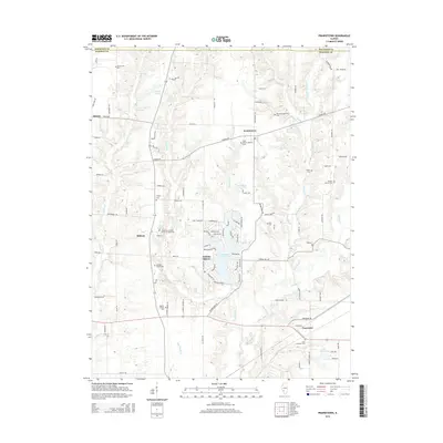 2015 Prairietown2015 Print · USGSCovers Holiday Shores, including Carpenter, Prairietown, and other nearby areas
 - 2018 Map of Prairietown, 2018 Print
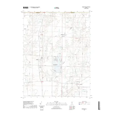 2018 Prairietown2018 Print · USGSCovers Holiday Shores, including Carpenter, Prairietown, and other nearby areas
 - 2021 Map of Prairietown, 2021 Print
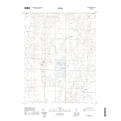 2021 Prairietown2021 Print · USGSCovers Holiday Shores, including Carpenter, Prairietown, and other nearby areas
 - 2024 Map of Prairietown, 2024 Print
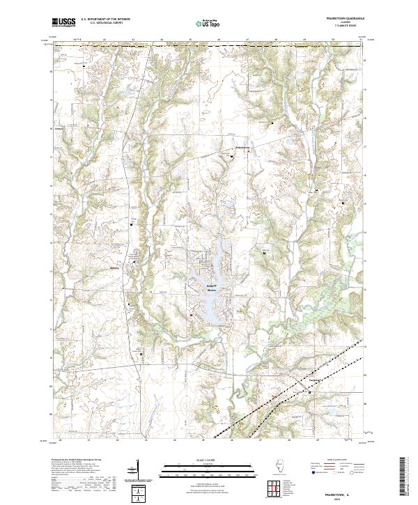 2024 Prairietown2024 Print · USGSMadison County at the edge of the Metro East shows a landscape of long-standing farming communities and growing lakeside developments. Genealogists can locate family burial sites like Paddock Family Cem and the Zion Lutheran Cem near Prairietown.
End of results
Showing maps 1-13 of 13
Top cities near Holiday Shores
- Granite City historical maps
- Edwardsville historical maps
- Alton historical maps
- Collinsville historical maps
- Godfrey historical maps
- Glen Carbon historical maps
See more
Frequently asked questions
- What are the different types of historical maps available for Holiday Shores?
- What is the oldest map of Holiday Shores?
- Where can I purchase historical maps of Holiday Shores for my home or office?
- Where can I download high-res historical maps of Holiday Shores?
- Are there historical topographic maps available for Holiday Shores?
- Is there historical aerial imagery available for Holiday Shores?
- Where are historical maps of Holiday Shores sourced from?