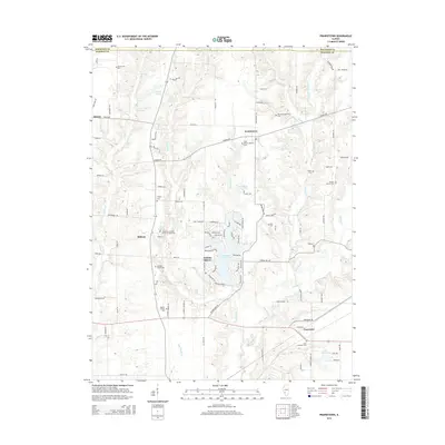
2015 Map of Prairietown
USGS Topo · Published 2015About this map
Holiday Lake and its surrounding residential development at Holiday Shores anchor the center of this Madison County landscape. This mid-2010s survey reveals a region defined by a high density of ancestral burial grounds and country churches, reflecting a long-established rural community structure. From the Paddock Family Cemetery to the Saint Peters Lutheran Cemetery in Prairietown, the map preserves a detailed record of local genealogy and land ownership. The terrain is deeply etched by the winding courses of Cahokia Creek and its many tributaries, including Paddock Creek and Joulters Creek, which have shaped the movement of roads like Seiler Road and Renken Road. Small historic clusters like Dorsey and Carpenter show the continued importance of these old road junctions and small-town centers in the modern era.
Find a feature on this map
101 named features on this map. Tap any name to fly to it.
Don’t see what you’re looking for? This feature index may not catch every label — zoom into the map to look around manually.
Map Details
Editions of this 2015 Prairietown Map
This is the sole edition of this map. No revisions or reprints were ever made.
Other maps of this area

1912 · Gillespie
USGS Topo · 1:62,500

1915 · Gillespie
USGS Topo · 1:62,500

1925 · Brighton
USGS Topo · 1:62,500

1927 · Alton
USGS Topo · 1:62,500

1927 · Edwardsville
USGS Topo · 1:62,500

1928 · Brighton
USGS Topo · 1:62,500

1932 · Edwardsville
USGS Topo · 1:62,500

1934 · Alton
USGS Topo · 1:62,500

1948 · Quincy
USGS Topo · 1:250,000

1948 · Wood River
USGS Topo · 1:24,000