Loading...
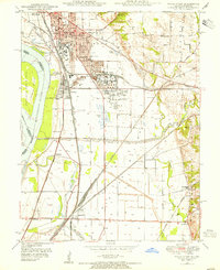
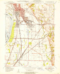
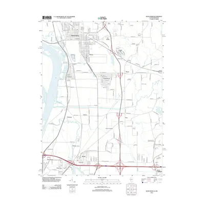
Loading map...1948 Map of Wood River
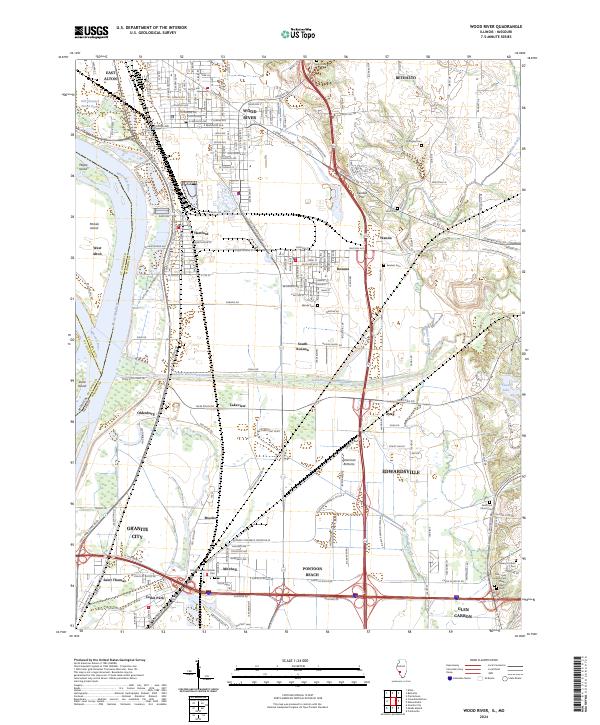
USGS Topo · Published 1955About this map
Industrial expansion and river engineering dominate this mid-century landscape along the Mississippi River in Madison County. Extensive Oil Refinery complexes sit between Wood River, Roxana, and Hartford, marking the area's role in the regional energy economy. The massive Chain of Rocks Canal and the Cahokia Diversion Channel demonstrate the significant hydrological modifications made to manage the river's flow and support navigation.
Find a feature on this map
59 named features on this map. Tap any name to fly to it.
Don’t see what you’re looking for? This feature index may not catch every label — zoom into the map to look around manually.
Map Details
Date Portrayed1948
Date Published1955
PublisherU.S. Geological Survey
Map TypeTopographic
Scale1:24,000
Physical Dimensions22 x 26.9 inches
Editions of this 1948 Wood River Map
This is the sole edition of this map. No revisions or reprints were ever made.
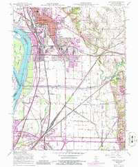
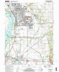
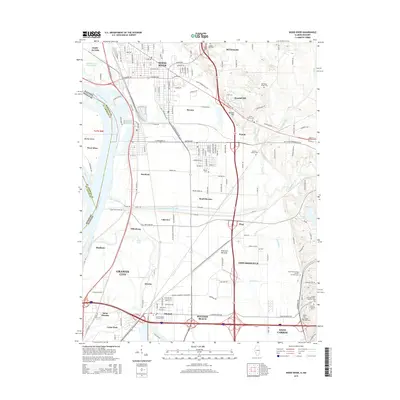
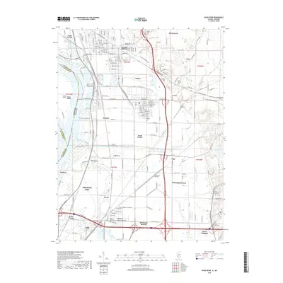
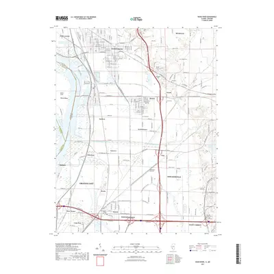
Historical Maps of Granite City Through Time
9 maps found
Featured Locations
Source Details
SourceU.S. Geological Survey
CopyrightPublic Domain