Old Maps of Pleasant Ridge, Maryville for Genealogy
Trace your family roots with 12 historic maps of Pleasant Ridge. These high-res maps reveal old neighborhoods, homesites, landmarks, and streets — helping you uncover where your ancestors lived and how the area evolved over time.
- Explore historic neighborhoods: Identify where your relatives may have lived in the 1800s or 1900s.
- Compare maps over time: Trace the changes in streets, buildings, and landmarks for multi-generational research.
- Perfect for genealogy & ancestry research: Used by family historians and researchers to map out lineage and migration.
These maps are an incredible resource for exploring your personal connection to Pleasant Ridge's past.
Pleasant Ridge, Maryville maps
(12)- 1907 Map of Belleville
 1907 Belleville1907 Print · USGSSouthwestern Illinois is seen at a height of rail-driven expansion in the early twentieth century. Trace genealogy and land history in Belleville, O'Fallon, and Summerfield along the Vandalia System and other regional lines.3 unique versions available
 - 1937 Map of Collinsville
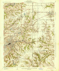 1937 Collinsville1937 Print · USGSSouthwestern Illinois thrives in the mid-1930s as a hub of rail traffic and coal-country commerce. Genealogists and local historians can trace family locations near Chinatown, Donkville, and numerous country schools like Bethel Sch or Spring Valley Sch.2 unique versions available
 - 1954 Map of Collinsville, 1959 Print
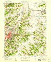 1954 Collinsville1959 Print · USGSMid-century Madison County reveals an era of thriving rail junctions and local neighborhood schools. Genealogists and local historians can trace family locations through landmarks like Finland Cem, Troy Crossing, and Lanham Sch.4 unique versions available
 - 1958 Map of Belleville, 1973 Print
 1958 Belleville1973 Print · USGSSouthern Illinois during the mid-twentieth century reveals a landscape of industrial growth and massive new reservoirs. Genealogists and historians can trace the paths of the Illinois Central RR through towns like Centralia or locate landmarks such as Emerald Mound and the Looking Glass Prairie.3 unique versions available
 - 1962 Map of Belleville
 1962 Belleville1962 Print · USGSSouthern Illinois in the late fifties reveals a landscape of industrial growth and ancient landmarks before the full expansion of the interstate system. Genealogists can trace family names and rural post offices near Centralia, Salem, and the historic Monks Mound.
 - 1985 Map of Carlyle Lake
 1985 Carlyle Lake1985 Print · USGSSouthwestern Illinois in the mid-eighties shows a landscape of growing commuter suburbs and massive water management projects. Genealogists and historians can locate family plots at Lakeview Memorial Gardens Cem or trace the early footprint of Southern Illinois Univ (Edwardsville).2 unique versions available
 - 1991 Map of Collinsville
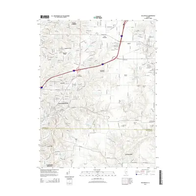
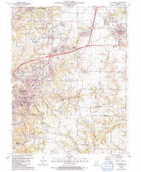 1991 Collinsville1991 Print · USGSThe Collinsville and Troy area comes alive in the early nineties as suburban neighborhoods began to weave through the older rural landscape. Researchers can trace family sites at St Pauls Cem or locate community landmarks like Maryville Sch and Troy Crossing.
 - 2012 Map of Collinsville, 2012 Print
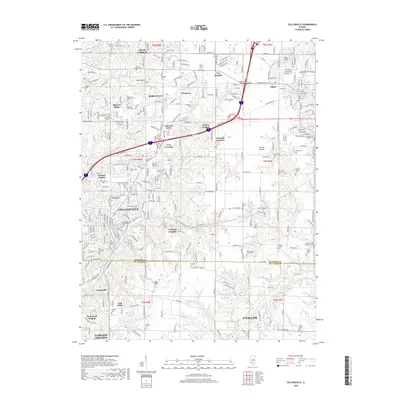
 2012 Collinsville2012 Print · USGSCovers Pleasant Ridge, including O'Fallon, Collinsville, and other nearby areas
 - 2015 Map of Collinsville, 2015 Print
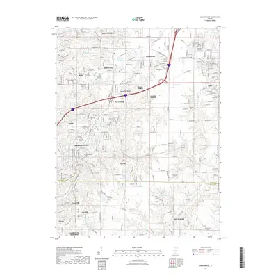
 2015 Collinsville2015 Print · USGSCovers Pleasant Ridge, including O'Fallon, Collinsville, and other nearby areas
 - 2018 Map of Collinsville, 2018 Print
 2018 Collinsville2018 Print · USGSCovers Pleasant Ridge, including O'Fallon, Collinsville, and other nearby areas
 - 2021 Map of Collinsville, 2021 Print
 2021 Collinsville2021 Print · USGSCovers Pleasant Ridge, including O'Fallon, Collinsville, and other nearby areas
 - 2024 Map of Collinsville, 2024 Print
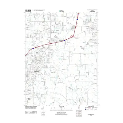
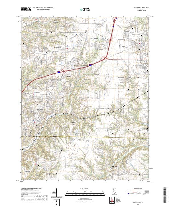 2024 Collinsville2024 Print · USGSThis contemporary survey of southwestern Illinois shows the modern intersection of interstate commerce and deep-rooted local history. Genealogists can trace family names across numerous sites like Riggin Family Cem, Metz Cem, and Lumaghi Heights.
End of results
Showing maps 1-12 of 12
Top cities near Pleasant Ridge
- St. Louis historical maps
- Belleville historical maps
- O'Fallon historical maps
- Granite City historical maps
- Edwardsville historical maps
- Alton historical maps
See more
Frequently asked questions
- What are the different types of historical maps available for Pleasant Ridge?
- What is the oldest map of Pleasant Ridge?
- Where can I purchase historical maps of Pleasant Ridge for my home or office?
- Where can I download high-res historical maps of Pleasant Ridge?
- Are there historical topographic maps available for Pleasant Ridge?
- Is there historical aerial imagery available for Pleasant Ridge?
- Where are historical maps of Pleasant Ridge sourced from?