Old Maps of Camp Grove, Illinois for Metal Detecting
Plan your next treasure hunt with 12 historic maps of Camp Grove. Find old homesites, ghost towns, trails, and gathering spots that may be lost to time — perfect for identifying promising metal detecting locations.
- Locate forgotten sites: Uncover places like long-lost settlements, abandoned rail lines, or gathering spots.
- Plan better hunts: Use map overlays combined with LiDAR or satellite views to narrow in on historically rich areas.
- Made for detectorists: Thousands of hobbyists use these maps to discover relics, coins, and hidden history.
Use these historic maps to boost your research and find new opportunities beneath the surface of Camp Grove.
Camp Grove, IL maps
(12)- 1933 Map of Camp Grove
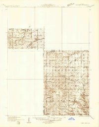 1933 Camp Grove1933 Print · USGSThe Illinois prairie between Bradford and Camp Grove in the 1930s reveals a landscape of vanished rural schools and early rail lines. Genealogists can trace family footprints at St Johns Cem, Union Ch, or the small settlement of Red Town.
 - 1945 Map of Bradford
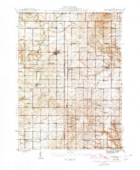 1945 Bradford1945 Print · USGSSettlement and agriculture in Stark and Bureau Counties reached a peak of rural infrastructure in the mid-1940s. Genealogists can trace family footprints across dozens of country school sites like Osceola Center Sch and churches such as Willow Springs Ch.3 unique versions available
 - 1958 Map of Aurora, 1969 Print
 1958 Aurora1969 Print · USGSNorthern Illinois in the late fifties shows a landscape of powerful river industry and expanding transport corridors. Genealogists and historians can trace the development of Aurora and Joliet or locate sites like the Elwood Ordnance Plant and Starved Rock.3 unique versions available
 - 1961 Map of Aurora
 1961 Aurora1961 Print · USGSNorthern Illinois at the height of the post-war era reveals a landscape of massive industrial works and thriving river towns. Genealogists and historians can trace the paths of the Lincoln Highway or locate long-standing landmarks like the Green River Ordnance Plant and Starved Rock State Park.
 - 1983 Map of Castleton, 1984 Print
 1983 Castleton1984 Print · USGSStark County farm country is captured here during the early eighties, showing the steady rhythm of rural life across Penn and Valley townships. Researchers can trace family history at Eagleston Cem or locate the old Burlington Northern and Chicago and North Western rail lines.
 - 1985 Map of Kewanee
 1985 Kewanee1985 Print · USGSNorth-central Illinois in the mid-eighties shows a landscape of river-valley industry and prairie transit. Researchers can trace family roots through Evergreen Memory Garden or follow the historic Hennepin Canal past Tiskilwa and Wyanet.2 unique versions available
 - 1998 Map of Castleton, 2001 Print
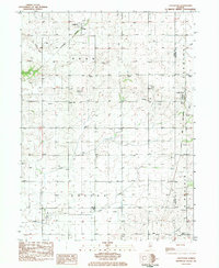
 1998 Castleton2001 Print · USGSThe rural border of Stark and Marshall counties is captured in the late nineties, showcasing a prairie landscape defined by small settlements and family farms. Researchers can trace the path of the Old Railroad Grade and find local landmarks like St Timothy Ch and the Valley Sch.
 - 2012 Map of Castleton, 2012 Print
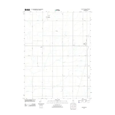 2012 Castleton2012 Print · USGSCovers Camp Grove, including Castleton, Stark County, and other nearby areas
 - 2015 Map of Castleton, 2015 Print
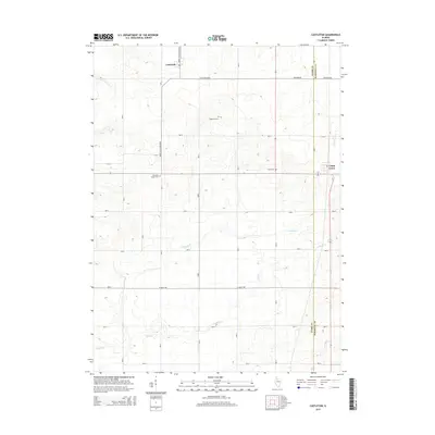 2015 Castleton2015 Print · USGSCovers Camp Grove, including Castleton, Stark County, and other nearby areas
 - 2018 Map of Castleton, 2018 Print
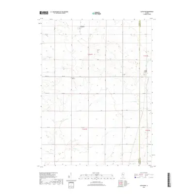 2018 Castleton2018 Print · USGSCovers Camp Grove, including Castleton, Stark County, and other nearby areas
 - 2021 Map of Castleton, 2021 Print
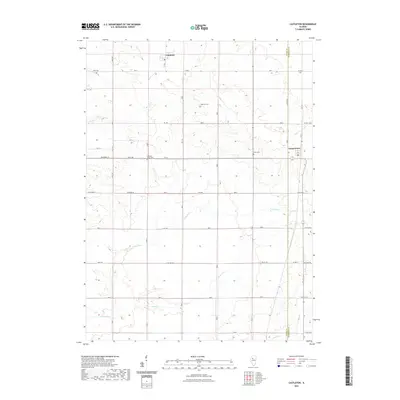 2021 Castleton2021 Print · USGSCovers Camp Grove, including Castleton, Stark County, and other nearby areas
 - 2024 Map of Castleton, 2024 Print
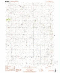
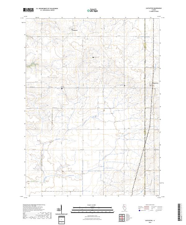 2024 Castleton2024 Print · USGSStark County's prairie landscape remains centered on small agricultural hubs and a network of country roads in the early twenty-first century. Genealogists can locate family burial sites at Grant Cem and Eagleston Cem or trace the paths of Camp Creek and Castleton.
End of results
Showing maps 1-12 of 12
Top cities near Camp Grove
- Chillicothe historical maps
- Lacon historical maps
- Princeville historical maps
- Wyoming historical maps
- Toulon historical maps
- Akron historical maps
See more
Frequently asked questions
- What are the different types of historical maps available for Camp Grove?
- What is the oldest map of Camp Grove?
- Where can I purchase historical maps of Camp Grove for my home or office?
- Where can I download high-res historical maps of Camp Grove?
- Are there historical topographic maps available for Camp Grove?
- Is there historical aerial imagery available for Camp Grove?
- Where are historical maps of Camp Grove sourced from?