Old Maps of Tiskilwa, Illinois
Explore 20 old maps of Tiskilwa, spanning from 1893 to today. These high-resolution historic maps reveal how streets, neighborhoods, landmarks, and natural features evolved over time — perfect for genealogy, metal detecting, research, and local history exploration.
What you can do with these maps:
- See how Tiskilwa changed over time: Compare historical maps to modern-day views to trace roads, homesites, rail lines & more.
- View detailed metadata: Each map includes creators, publishers, year, scale, and archive source.
- Overlay maps with satellite & LiDAR: Visualize the past alongside modern tools to explore terrain & human change.
- Trusted historical sources: Maps sourced from the USGS, Library of Congress, and other archives.
- Access maps your way: View online, download high-res files, or order prints for personal or research use.
Start exploring old maps of Tiskilwa to uncover forgotten places, hidden landmarks, and the deep history beneath your feet.
Tiskilwa, IL maps
(20)- 1893 Map of Hennepin
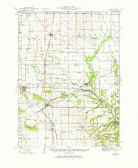
 1893 Hennepin1893 Print · USGSBureau County and the Illinois River valley are captured here in the late nineteenth century as the rail network reached its peak. Genealogists and historians can trace the early footprints of Princeton, Bureau Junction, and Tiskilwa along the major trunk lines of the era.2 unique versions available
 - 1909 Map of Hennepin
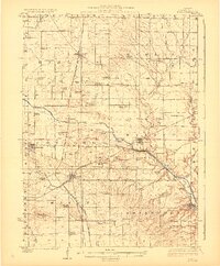
 1909 Hennepin1909 Print · USGSNorth-central Illinois at the height of the railroad era is displayed here, centered on the river valleys of Putnam and Bureau counties. Genealogists can locate family landmarks such as the County Farm, Berean Church, and schools like Highland School.
 - 1911 Map of Hennepin
 1911 Hennepin1911 Print · USGSThe Illinois River valley and the railroad hub of Princeton are captured here at the height of the steam era. Genealogists and historians can trace family locations near the Highland School, Berean Church, and early village sites like Tiskilwa and Hallowayville.2 unique versions available
 - 1921 Map of Buda, 1959 Print
 1921 Buda1959 Print · USGSBureau County’s rail-and-water corridors are in full bloom in the 1920s, showing the intersection of heavy industry and small-town life. Trace family roots through dozens of local landmarks like the County Farm, Old Manlius Church, and the Illinois and Mississippi Canal.
 - 1923 Map of Buda
 1923 Buda1923 Print · USGSBureau County’s agricultural heartland is captured here in the 1920s, defined by its intensive network of railroads and the Illinois and Mississippi Canal. Genealogists and historians can locate scores of one-room schoolhouses like Hickory Grove School and family-named landmarks such as Cedar Bluff.2 unique versions available
 - 1958 Map of Aurora, 1969 Print
 1958 Aurora1969 Print · USGSNorthern Illinois in the late fifties shows a landscape of powerful river industry and expanding transport corridors. Genealogists and historians can trace the development of Aurora and Joliet or locate sites like the Elwood Ordnance Plant and Starved Rock.3 unique versions available
 - 1961 Map of Aurora
 1961 Aurora1961 Print · USGSNorthern Illinois at the height of the post-war era reveals a landscape of massive industrial works and thriving river towns. Genealogists and historians can trace the paths of the Lincoln Highway or locate long-standing landmarks like the Green River Ordnance Plant and Starved Rock State Park.
 - 1966 Map of Princeton South, 1968 Print
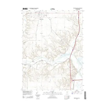
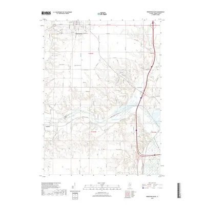
 1966 Princeton South1968 Print · USGSThe city of Princeton and the Bureau Creek valley are shown here in the mid-1960s, capturing a period of steady growth and industrial activity. Genealogists and local historians can trace school locations like Park High Sch or locate family plots at Oakland Cemetery and Greene Cem.2 unique versions available
 - 1983 Map of Wyanet, 1984 Print
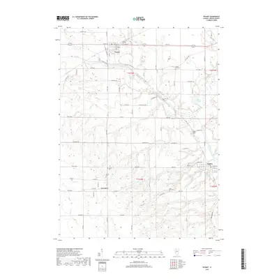
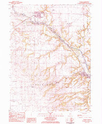 1983 Wyanet1984 Print · USGSBureau County during the early 1980s reveals a landscape defined by the Hennepin Canal and its intricate lock system. Genealogists can trace family roots through numerous local burial sites like Forest Hill Cem, Triplett Cem, and Mt Bloom Cem.
 - 1985 Map of Kewanee
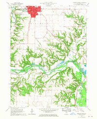
 1985 Kewanee1985 Print · USGSNorth-central Illinois in the mid-eighties shows a landscape of river-valley industry and prairie transit. Researchers can trace family roots through Evergreen Memory Garden or follow the historic Hennepin Canal past Tiskilwa and Wyanet.2 unique versions available
 - 2012 Map of Princeton South, 2012 Print
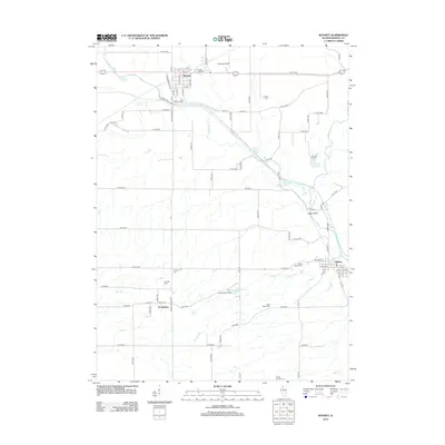
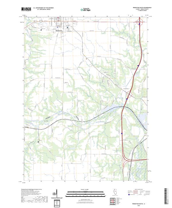
 2012 Princeton South2012 Print · USGSCovers Tiskilwa, including Princeton, Bureau County, and other nearby areas
 - 2012 Map of Wyanet, 2012 Print
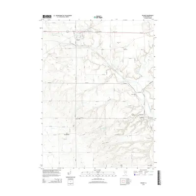
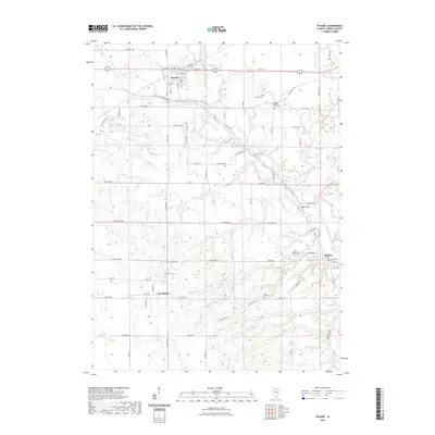
 2012 Wyanet2012 Print · USGSCovers Tiskilwa, including Wyanet, Providence, and other nearby areas
 - 2015 Map of Princeton South, 2015 Print
 2015 Princeton South2015 Print · USGSCovers Tiskilwa, including Princeton, Bureau County, and other nearby areas
 - 2015 Map of Wyanet, 2015 Print
 2015 Wyanet2015 Print · USGSCovers Tiskilwa, including Wyanet, Providence, and other nearby areas
 - 2018 Map of Wyanet, 2018 Print
 2018 Wyanet2018 Print · USGSCovers Tiskilwa, including Wyanet, Providence, and other nearby areas
 - 2018 Map of Princeton South, 2018 Print
 2018 Princeton South2018 Print · USGSCovers Tiskilwa, including Princeton, Bureau County, and other nearby areas
 - 2021 Map of Princeton South, 2021 Print
 2021 Princeton South2021 Print · USGSCovers Tiskilwa, including Princeton, Bureau County, and other nearby areas
 - 2021 Map of Wyanet, 2021 Print
 2021 Wyanet2021 Print · USGSCovers Tiskilwa, including Wyanet, Providence, and other nearby areas
 - 2024 Map of Princeton South, 2024 Print
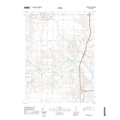
 2024 Princeton South2024 Print · USGSBureau County at the present day retains its deep agricultural character and historic civic center in Princeton. Genealogists and local historians can trace burial sites at Oakland Cem or locate the Bureau County Courthouse amidst the winding waters of Big Bureau Creek.
 - 2024 Map of Wyanet, 2024 Print
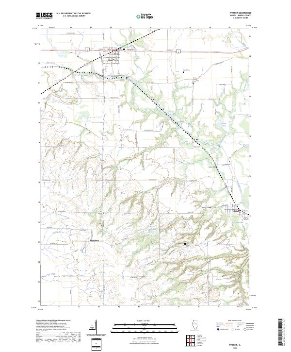 2024 Wyanet2024 Print · USGSThe rural landscape of Bureau County, Illinois, is captured here in the mid-2020s, showing the enduring layouts of Wyanet and Tiskilwa. Family historians can trace numerous burial sites including Oak Hill Cem, Mount Bloom Cem, and the Old Catholic Cem.
End of results
Showing maps 1-20 of 20
Top cities near Tiskilwa
- Princeton historical maps
- Henry historical maps
- Sheffield historical maps
- Wyanet historical maps
- Bradford historical maps
- Hennepin historical maps
See more
Frequently asked questions
- What are the different types of historical maps available for Tiskilwa?
- What is the oldest map of Tiskilwa?
- Where can I purchase historical maps of Tiskilwa for my home or office?
- Where can I download high-res historical maps of Tiskilwa?
- Are there historical topographic maps available for Tiskilwa?
- Is there historical aerial imagery available for Tiskilwa?
- Where are historical maps of Tiskilwa sourced from?