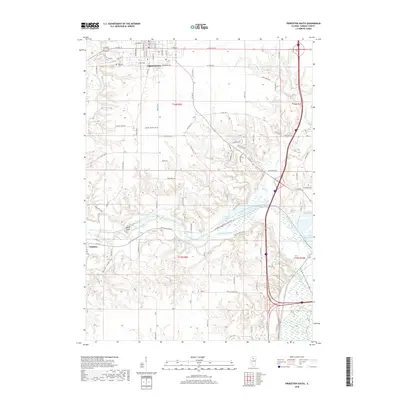
2018 Map of Princeton South
USGS Topo · Published 2018About this map
Big Bureau Creek meanders through the heart of this Bureau County landscape, carving a path between the southern edge of Princeton and the village of Tiskilwa. The terrain transitions from the organized grid of the county seat down into the wooded bluffs of Owls Head and the deep drainage of Plow Hollow. This 2018 survey reveals the geographic relationship between these settlements and the protected wetlands of the Hennepin Canal Pkwy State Park, which stretches along the creek bottomlands.
Find a feature on this map
89 named features on this map. Tap any name to fly to it.
Don’t see what you’re looking for? This feature index may not catch every label — zoom into the map to look around manually.
Map Details
Editions of this 2018 Princeton South Map
This is the sole edition of this map. No revisions or reprints were ever made.
Other maps of this area

1893 · Lacon
USGS Topo · 1:62,500

1893 · Hennepin
USGS Topo · 1:62,500

1909 · Hennepin
USGS Topo · 1:62,500

1911 · Hennepin
USGS Topo · 1:62,500

1921 · Buda
USGS Topo · 1:62,500

1923 · Buda
USGS Topo · 1:62,500

1933 · Lacon
USGS Topo · 1:62,500

1933 · Camp Grove
USGS Topo · 1:48,000

1937 · Lacon
USGS Topo · 1:62,500

1945 · Bradford
USGS Topo · 1:62,500