
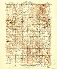
1945 Map of Bradford
USGS Topo · Published 1945About this map
Bradford stands as a central hub at the meeting point of Bureau and Stark Counties, serving as a vital rail node during the mid-1940s. The landscape is defined by the heavy presence of the Chicago Burlington and Quincy railroad, which links small agricultural settlements like Lombardville and Castleton. The mapping reveals a dense network of one-room schoolhouses, such as Emerson Sch and Sharkey Sch, illustrating the dispersed rural population of the era. To the east and south, the terrain transitions toward Marshall County, marked by watercourses like Senachwine Creek and Crow Creek. This document provides a look at the social geography of the region before the consolidation of rural districts, capturing the locations of numerous country churches and cemeteries, including Boyds Grove Ch and the remote St Johns Cem.
Find a feature on this map
76 named features on this map. Tap any name to fly to it.
Don’t see what you’re looking for? This feature index may not catch every label — zoom into the map to look around manually.
Map Details
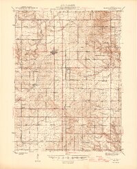
Editions of this 1945 Bradford Map
3 editions found
Other maps of this area

1893 · Lacon
USGS Topo · 1:62,500

1893 · Hennepin
USGS Topo · 1:62,500

1893 · Metamora
USGS Topo · 1:62,500

1893 · Dunlap
USGS Topo · 1:62,500

1898 · Dunlap
USGS Topo · 1:62,500

1909 · Hennepin
USGS Topo · 1:62,500

1911 · Hennepin
USGS Topo · 1:62,500

1921 · Buda
USGS Topo · 1:62,500

1923 · Buda
USGS Topo · 1:62,500

1929 · Annawan
USGS Topo · 1:62,500