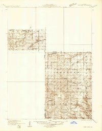
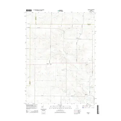
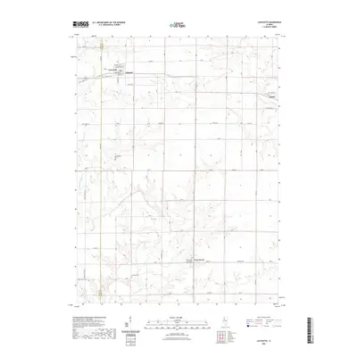
1933 Map of Camp Grove
USGS Topo · Published 1933About this map
Agricultural life in Stark, Bureau, and Marshall counties centers on a dense network of rural schoolhouses and small-town rail stops in the early 1930s. The Chicago Burlington and Quincy railroad cuts through the north near Bradford, while the Chicago and Northwestern serves Broadmoor and Camp Grove to the south. This era is characterized by an exceptional density of local education, with nearly two dozen named institutions like Longfellow Sch and Pleasant Mound Sch spaced for horse-and-buggy or walking access.
Find a feature on this map
51 named features on this map. Tap any name to fly to it.
Don’t see what you’re looking for? This feature index may not catch every label — zoom into the map to look around manually.
Map Details
Editions of this 1933 Camp Grove Map
This is the sole edition of this map. No revisions or reprints were ever made.
Historical Maps of Bradford Through Time
19 maps found
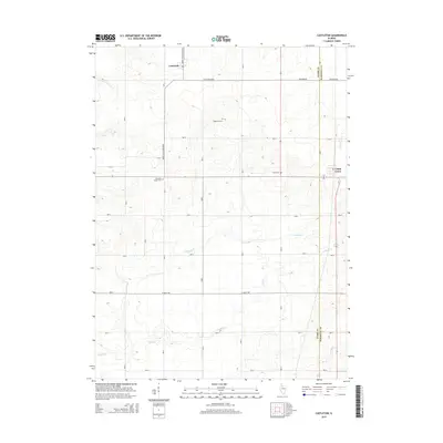
1933 Camp Grove
Stark County, IL
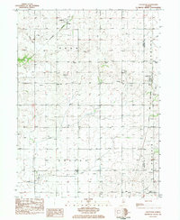
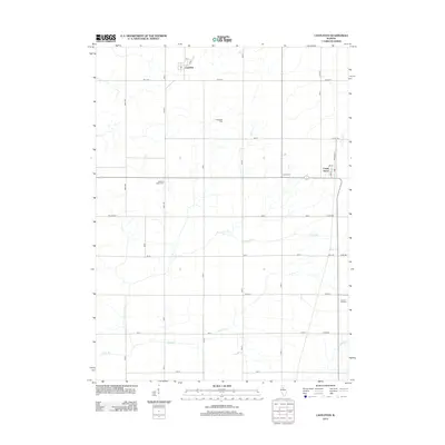
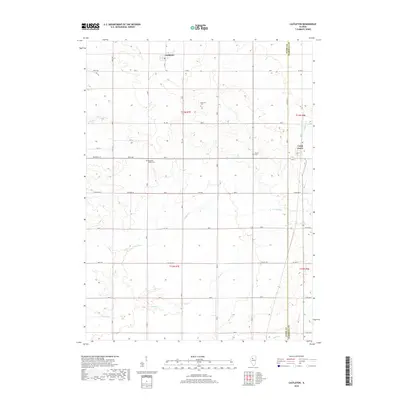
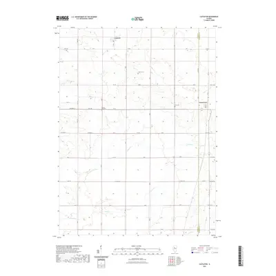
1983 Castleton
Stark County, IL
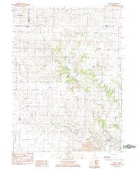
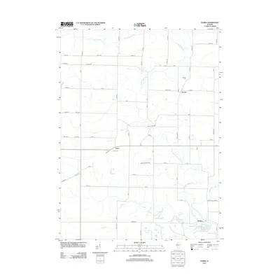
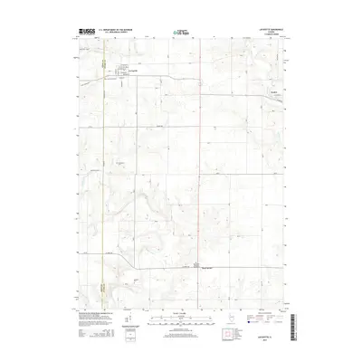
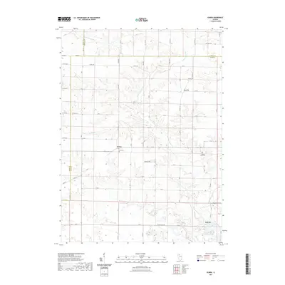
1983 Elmira
Stark County, IL
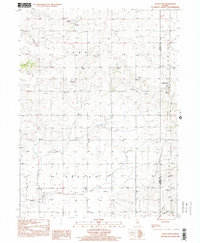
1998 Castleton
Stark County, IL
2012 Castleton
Stark County, IL
2012 Elmira
Stark County, IL
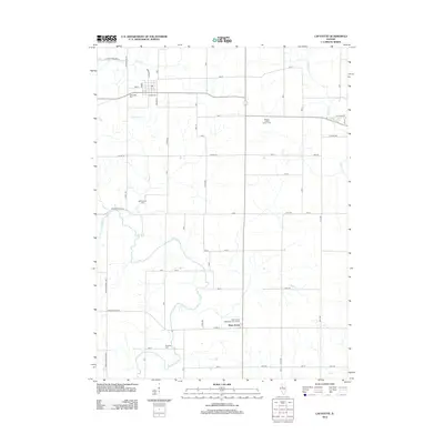
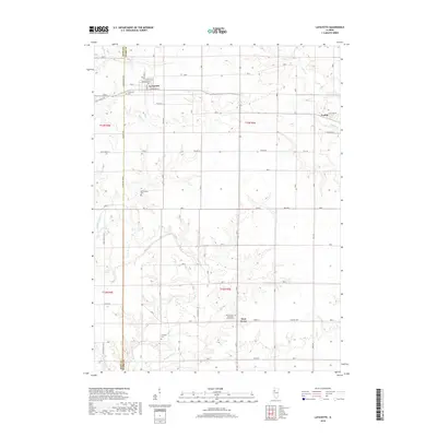
2012 Lafayette
Stark County, IL
2015 Castleton
Stark County, IL
2015 Elmira
Stark County, IL
2015 Lafayette
Stark County, IL
2018 Castleton
Stark County, IL
2018 Elmira
Stark County, IL
2018 Lafayette
Stark County, IL
2021 Castleton
Stark County, IL
2021 Elmira
Stark County, IL
2021 Lafayette
Stark County, IL
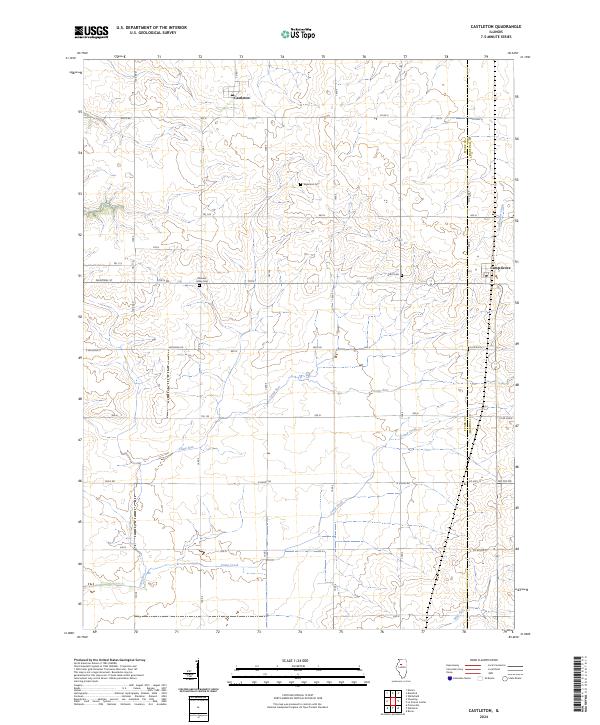
2024 Castleton
Stark County, IL
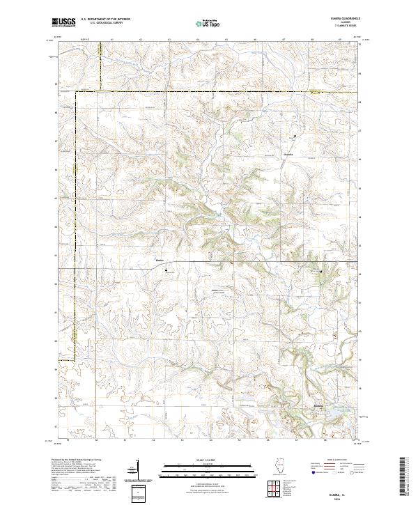
2024 Elmira
Stark County, IL
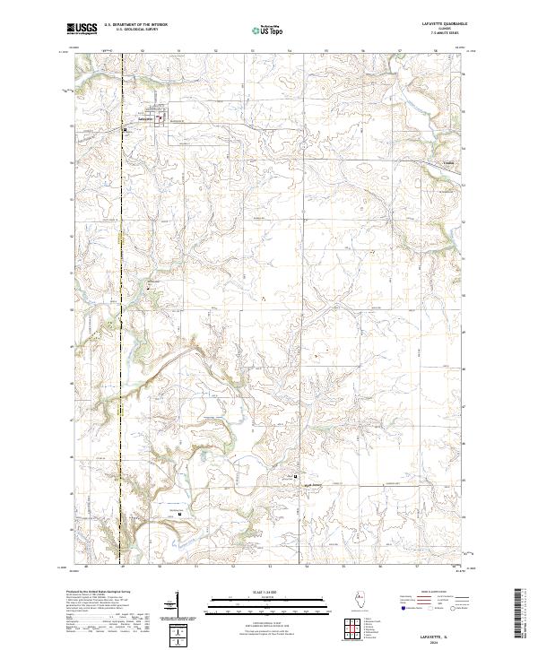
2024 Lafayette
Stark County, IL