
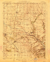
1923 Map of Buda
USGS Topo · Published 1923About this map
The Illinois and Mississippi Canal cuts a striking horizontal path across this Bureau County landscape, illustrating the critical role of water infrastructure in early twentieth-century Illinois. Several prominent railroad lines, including the Chicago Rock Island and Pacific and the Chicago Burlington and Quincy, converge at key junctions such as Wyanet and Buda, marking these towns as vital nodes for local agriculture and trade.
Find a feature on this map
73 named features on this map. Tap any name to fly to it.
Don’t see what you’re looking for? This feature index may not catch every label — zoom into the map to look around manually.
Map Details
Editions of this 1923 Buda Map
2 editions found
Other maps of this area

1893 · Lacon
USGS Topo · 1:62,500

1893 · Hennepin
USGS Topo · 1:62,500

1909 · Hennepin
USGS Topo · 1:62,500

1911 · Hennepin
USGS Topo · 1:62,500

1921 · Buda
USGS Topo · 1:62,500

1929 · Annawan
USGS Topo · 1:62,500

1932 · Prophetstown
USGS Topo · 1:48,000

1932 · Annawan
USGS Topo · 1:62,500

1933 · Lacon
USGS Topo · 1:62,500

1933 · Camp Grove
USGS Topo · 1:48,000