Old Maps of Lacon, Illinois for Hiking & Exploration
Hike through history with 12 historic maps of Lacon. Explore old trails, ghost towns, and forgotten backroads — perfect for outdoor adventurers and local explorers.
- Rediscover forgotten places: Map out old mining camps, roads, and footpaths that no longer exist on modern maps.
- Layer with modern tools: Combine with LiDAR or satellite views to plan hikes through historical terrain.
- Made for exploration: Popular among hikers, overlanders, and local history lovers.
Use these maps to find adventure and explore the hidden past of Lacon.
Lacon, IL maps
(12)- 1893 Map of Lacon
 1893 Lacon1893 Print · USGSThe Illinois River valley in the early 1890s reveals a landscape of river-port towns and sprawling backwater lakes. Genealogists and local historians can trace the early rail corridors of the Chicago and Alton Railroad and find long-established river settlements like Henry and Sparland.4 unique versions available
 - 1933 Map of Lacon
 1933 Lacon1933 Print · USGSThe Illinois River valley in the early 1930s reveals a complex network of backwater lakes and rail-dependent towns. Researchers can locate family landmarks like St Joseph Cem, the Whitefield Town Hall, and dozens of rural schoolhouses such as Brush College Sch.3 unique versions available
 - 1937 Map of Lacon
 1937 Lacon1937 Print · USGSMid-century life along the Illinois River valley reveals a landscape of thriving river towns and rural school districts in the 1930s. Trace the vanished local footprints of Whitefield Town Hall, the Alton RR corridor, and family-named sites like Bonham Cem.2 unique versions available
 - 1958 Map of Aurora, 1969 Print
 1958 Aurora1969 Print · USGSNorthern Illinois in the late fifties shows a landscape of powerful river industry and expanding transport corridors. Genealogists and historians can trace the development of Aurora and Joliet or locate sites like the Elwood Ordnance Plant and Starved Rock.3 unique versions available
 - 1961 Map of Aurora
 1961 Aurora1961 Print · USGSNorthern Illinois at the height of the post-war era reveals a landscape of massive industrial works and thriving river towns. Genealogists and historians can trace the paths of the Lincoln Highway or locate long-standing landmarks like the Green River Ordnance Plant and Starved Rock State Park.
 - 1972 Map of Lacon, 1974 Print
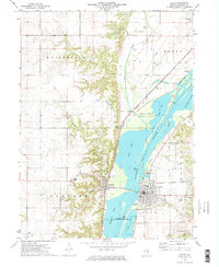 1972 Lacon1974 Print · USGSThe Illinois River valley in the early seventies shows a landscape defined by industrial rail lines and protected river bottomlands. Genealogists and local historians can locate family landmarks like Nighswonger Cem or trace the early paths of the Illinois Central Gulf railroad.2 unique versions available
 - 1985 Map of Kewanee
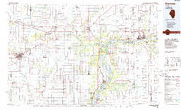 1985 Kewanee1985 Print · USGSNorth-central Illinois in the mid-eighties shows a landscape of river-valley industry and prairie transit. Researchers can trace family roots through Evergreen Memory Garden or follow the historic Hennepin Canal past Tiskilwa and Wyanet.2 unique versions available
 - 2012 Map of Lacon, 2012 Print
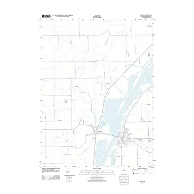 2012 Lacon2012 Print · USGSThe Illinois River valley in the early 2010s remains the heart of Marshall County life, centered on the historic bridge connection between Lacon and Sparland. Genealogists and historians can trace family locations through sites like Bonham Cem, Jason and Broadus Cem, and the expansive Schneider's Orchard.
 - 2015 Map of Lacon, 2015 Print
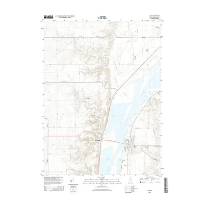 2015 Lacon2015 Print · USGSMarshall County's river-valley geography is on full display here in the mid-2010s, showing the twin settlements flanking the broad Illinois prairie. Researchers can locate family burial sites at Nightswonger Cem and Bonham Cem or trace the waterways of Goose Lake and Babb Slough.
 - 2018 Map of Lacon, 2018 Print
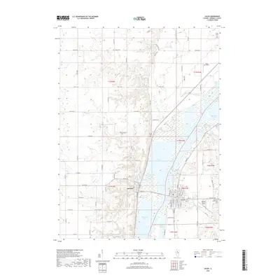 2018 Lacon2018 Print · USGSThe Illinois River valley in Marshall County is captured here in the early twenty-first century, showing the relationship between riverside towns and the floodplain. Researchers can find local landmarks like Saint Patrick Cem, Marshall County Airport, and the riverfront streets of Lacon and Sparland.
 - 2021 Map of Lacon, 2021 Print
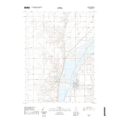 2021 Lacon2021 Print · USGSThe Illinois River valley in Marshall County appears here in its modern configuration, anchored by the river towns of Lacon and Sparland. Genealogists and local historians can locate family landmarks like Saint Patrick Cem or the Marshall County Courthouse.
 - 2024 Map of Lacon, 2024 Print
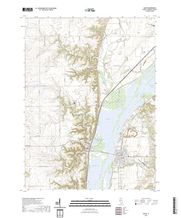 2024 Lacon2024 Print · USGSMarshall County's riverfront comes into focus in this contemporary survey of the Illinois River valley. Researchers can trace the civic layout of Lacon near the Marshall County Courthouse or locate family sites like Bonham Cem and Nighswonger Cem.
End of results
Showing maps 1-12 of 12
Top cities near Lacon
- Peoria historical maps
- Chillicothe historical maps
- Metamora historical maps
- Henry historical maps
- Roanoke historical maps
- Cazenovia historical maps
See more
Frequently asked questions
- What are the different types of historical maps available for Lacon?
- What is the oldest map of Lacon?
- Where can I purchase historical maps of Lacon for my home or office?
- Where can I download high-res historical maps of Lacon?
- Are there historical topographic maps available for Lacon?
- Is there historical aerial imagery available for Lacon?
- Where are historical maps of Lacon sourced from?