Old Maps of Goofy Ridge, Illinois for Academic Research
Study the evolution of Goofy Ridge with 15 high-resolution historic maps. Whether you're teaching, researching, or modeling changes in land use, these maps provide essential visual documentation of urban, environmental, and geographic change.
- Analyze long-term change: Track patterns in development, transportation, and natural features.
- Ideal for environmental or urban studies: Support academic projects with primary historical map data.
- Use in the classroom or lab: Educators and researchers rely on these maps to bring historical context to life.
These maps are a powerful tool for teaching, research, and visualizing how Goofy Ridge has changed over the decades.
Goofy Ridge, IL maps
(15)- 1929 Map of Manito, 1972 Print
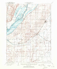 1929 Manito1972 Print · USGSMason and Fulton counties in the late 1920s reveal a landscape of deep river bottoms and newly drained prairie. Researchers can trace family history through a dense network of country schools and churches like Coon Sch and Macedonia Ch, or locate the path of the Chicago and Illinois Midland railway.
 - 1932 Map of Manito
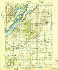 1932 Manito1932 Print · USGSThe Illinois River valley in the early 1930s showcases a landscape of intricate drainage ditches and river-bottom hunting clubs near Manito. Researchers can trace rural lineages through dozens of named sites like Eureka Sch, Ebenezer Ch, and Wessling Cem.3 unique versions available
 - 1958 Map of Peoria, 1969 Print
 1958 Peoria1969 Print · USGSCentral Illinois thrived as a hub of education and transport during the late sixties, as the new interstate system began to reshape the prairie. Genealogists and historians can trace local landmarks like Springdale Cem, Bradley University, and the sprawling grounds of Chanute AFB.4 unique versions available
 - 1961 Map of Peoria
 1961 Peoria1961 Print · USGSCentral Illinois thrived at the intersection of river trade and rail power during the late fifties. Genealogists and local historians can trace the rail networks of the Illinois Central and Wabash, alongside landmarks like Chanute AFB and Weldon Springs State Park.
 - 1963 Map of Peoria
 1963 Peoria1963 Print · USGSCentral Illinois thrived as a rail and highway crossroads during the early sixties, centered on the bustling Illinois River valley. Genealogists and historians can trace the mid-century layout of Peoria, locate the grounds of Chanute Air Force Base, and follow historic lines like the Toledo Peoria and Western Railway.
 - 1982 Map of Duck Island
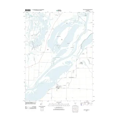
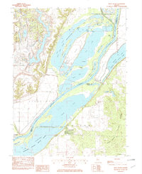 1982 Duck Island1982 Print · USGSThe Illinois River valley in the early eighties shows a dense network of backwater lakes and wildlife refuges. Trace the layout of Liverpool or locate landmarks like Goofy Ridge, Duck Island, and the Strip Mine.
 - 1985 Map of Lincoln
 1985 Lincoln1985 Print · USGSMid-century Illinois comes to life in this survey of Logan and Mason counties as the interstate era reshapes the prairie. Genealogists and historians can trace rail-town development from San Jose to Kenney or locate landmarks like Rose Hill Cem and Funks Grove.
 - 1989 Map of Lincoln
 1989 Lincoln1989 Print · USGSCentral Illinois in the late eighties remains a landscape of productive prairie and vital river arteries. Genealogists and local historians can trace rural family landmarks like Rose Hill Cem, identify early aviation at Logan County Airport, or follow the Illinois Central Gulf Railroad through towns like Atlanta and Lincoln.
 - 1990 Map of Peoria
 1990 Peoria1990 Print · USGSCentral Illinois at the start of the nineties reveals a landscape of industrial river towns and sprawling university campuses. Researchers can trace the legacy of major institutions like Chanute Air Force Base and the University of Illinois alongside regional landmarks such as Sand Ridge State Forest.
 - 1996 Map of Duck Island, 1997 Print
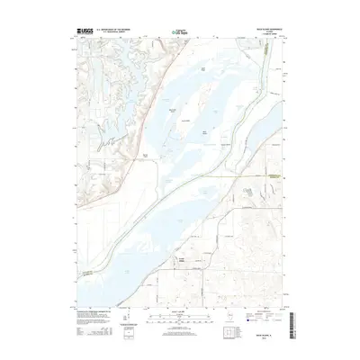
 1996 Duck Island1997 Print · USGSThe Illinois River floodplain in the mid-1990s showcases a vast network of conservation lands and river settlements. Trace the dikes and backwaters surrounding Goofy Ridge, Miserable Island, and the Wolf Memorial Fish Hatchery.
 - 2012 Map of Duck Island, 2012 Print
 2012 Duck Island2012 Print · USGSCovers Goofy Ridge, including Liverpool, Tazewell County, and other nearby areas
 - 2015 Map of Duck Island, 2015 Print
 2015 Duck Island2015 Print · USGSCovers Goofy Ridge, including Liverpool, Tazewell County, and other nearby areas
 - 2018 Map of Duck Island, 2018 Print
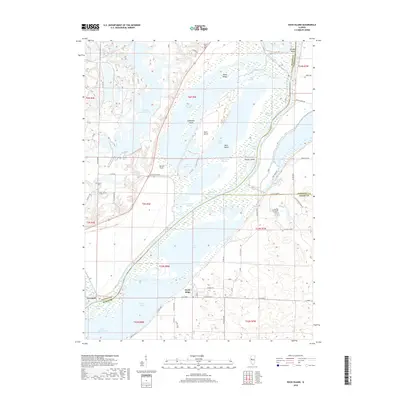 2018 Duck Island2018 Print · USGSCovers Goofy Ridge, including Liverpool, Tazewell County, and other nearby areas
 - 2021 Map of Duck Island, 2021 Print
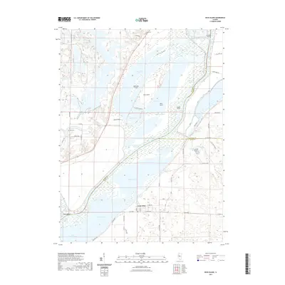 2021 Duck Island2021 Print · USGSCovers Goofy Ridge, including Liverpool, Tazewell County, and other nearby areas
 - 2024 Map of Duck Island, 2024 Print
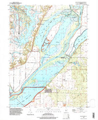
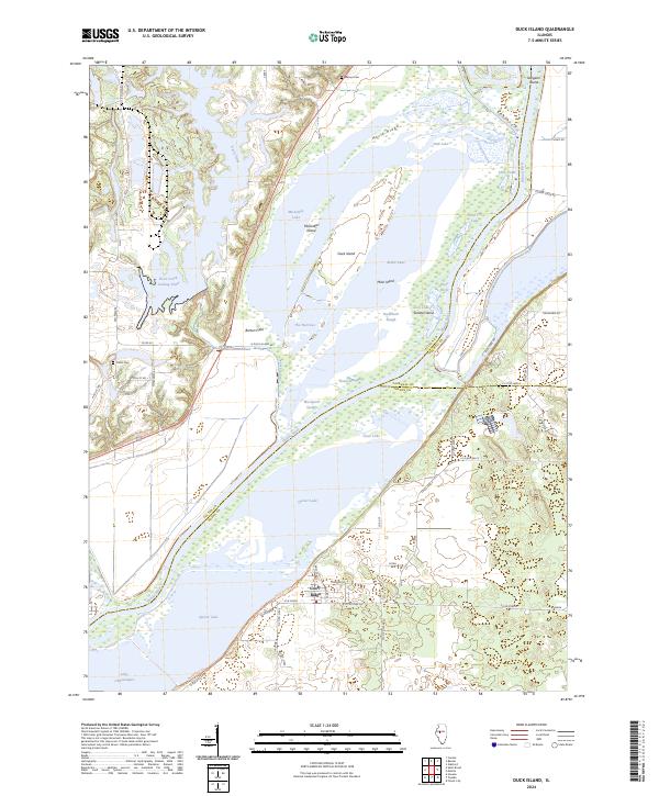 2024 Duck Island2024 Print · USGSThe Illinois River floodplain south of Peoria is captured in this modern survey. Genealogists and historians can trace family plots at Pollitt Cem or explore the unique shoreline of Goofy Ridge and the Chautauqua National Wildlife Refuge.
End of results
Showing maps 1-15 of 15
Top cities near Goofy Ridge
- Canton historical maps
- Havana historical maps
- Lewistown historical maps
- Manito historical maps
- Glasford historical maps
- Easton historical maps
See more
Frequently asked questions
- What are the different types of historical maps available for Goofy Ridge?
- What is the oldest map of Goofy Ridge?
- Where can I purchase historical maps of Goofy Ridge for my home or office?
- Where can I download high-res historical maps of Goofy Ridge?
- Are there historical topographic maps available for Goofy Ridge?
- Is there historical aerial imagery available for Goofy Ridge?
- Where are historical maps of Goofy Ridge sourced from?