Old Maps of Macomb, Illinois for Academic Research
Study the evolution of Macomb with 39 high-resolution historic maps. Whether you're teaching, researching, or modeling changes in land use, these maps provide essential visual documentation of urban, environmental, and geographic change.
- Analyze long-term change: Track patterns in development, transportation, and natural features.
- Ideal for environmental or urban studies: Support academic projects with primary historical map data.
- Use in the classroom or lab: Educators and researchers rely on these maps to bring historical context to life.
These maps are a powerful tool for teaching, research, and visualizing how Macomb has changed over the decades.
Macomb, IL maps
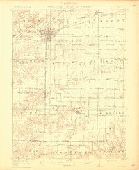
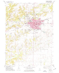
(39)- 1912 Map of Macomb, 1966 Print
 1912 Macomb1966 Print · USGSMcDonough County during the early twentieth century shows a landscape of scattered farmsteads and one-room schoolhouses. Genealogists can trace family landmarks like Runkle School and Pennington Point or follow the path of the Waubonsie Trail.
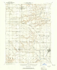
 - 1914 Map of Macomb
 1914 Macomb1914 Print · USGSWestern Illinois before the Great War is captured here through its dense network of rural school districts and burgeoning rail lines. Genealogists can locate specific family landmarks such as Pennington Point, the Town Hall, and the path of the historic Waubonsie Trail.4 unique versions available
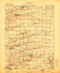
 - 1916 Map of Good Hope, 1965 Print
 1916 Good Hope1965 Print · USGSWestern Illinois prairie life is frozen in time during the First World War era as small farming communities began to peak. Genealogists can locate family-named landmarks like Stem School or Mud College and trace the original Chicago Burlington and Quincy rail line.2 unique versions available
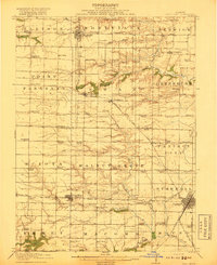
 - 1918 Map of La Harpe
 1918 La Harpe1918 Print · USGSWestern Illinois farm life in the late teens is captured here through a remarkably dense grid of rural schools and rail-fed townships. Genealogists can trace family footprints across dozens of local districts like Sunny Ridge School and Waggy School or along the Santa Fe line.4 unique versions available
 - 1918 Map of Good Hope
 1918 Good Hope1918 Print · USGSCentral Illinois prairie and growing rail towns are captured here at the end of the Great War. Genealogists can locate family homesteads near dozens of country schools like Mud College and rural hubs such as Good Hope and Sciota.2 unique versions available
 - 1958 Map of Burlington, 1968 Print
 1958 Burlington1968 Print · USGSThe tri-state river country of Iowa, Illinois, and Missouri is captured here in the mid-fifties, dominated by the Mississippi River and major rail lines. Genealogists and historians can trace the development of river towns like Keokuk or locate the sprawling Iowa Army Ammunition Plant.4 unique versions available
 - 1961 Map of Burlington
 1961 Burlington1961 Print · USGSThe tri-state borderlands along the Mississippi River are captured here during the late fifties and early sixties, showing the vital river-and-rail economy of Iowa, Illinois, and Missouri. Genealogists and historians can trace the development of major hubs like Galesburg and Macomb alongside landmark sites such as the Iowa Ordnance Plant and the historic river town of Nauvoo.
 - 1963 Map of Burlington
 1963 Burlington1963 Print · USGSThe tri-state river country of the Mississippi and Illinois valleys comes alive in this mid-century survey. Genealogists and historians can trace the industrial and academic growth of the region, from the Iowa Ordnance Plant to campuses like Knox College and Western Illinois University.
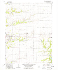
 - 1974 Map of Bardolph, 1977 Print
 1974 Bardolph1977 Print · USGSBardolph and the surrounding McDonough County countryside are captured here in the mid-1970s, showing a landscape defined by prairie agriculture and rail transit. Researchers can locate community anchors like Camp Creek Ch, the Mound Cem, and the historic settlement at Pennington Point.
 - 1974 Map of Macomb, 1977 Print
 1974 Macomb1977 Print · USGSMacomb and its surrounding townships thrive in the mid-1970s as a major educational and rail hub. Genealogists can trace family names through Oakwood Cem and Wayland Cem, or locate historic schools like Woodrow Wilson Sch and Lincoln Sch.3 unique versions available
 - 1974 Map of Blandinsville, 1978 Print
 1974 Blandinsville1978 Print · USGSBlandinsville and the surrounding McDonough County prairie are shown in the mid-1970s as a landscape of productive agriculture and emerging infrastructure. Researchers can locate numerous rural burial sites like South Cem and Guy Cem, or trace the Toledo Peoria and Western rail line.
 - 1974 Map of Good Hope, 1978 Print
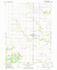 1974 Good Hope1978 Print · USGSMcDonough County’s agricultural heartland is documented in the mid-seventies just as modern infrastructure began to expand around the rural townships. Genealogists and local historians can locate Good Hope Cem, Sciota, and the grounds of Camp Chic-A-Gami.
 - 1985 Map of Macomb
 1985 Macomb1985 Print · USGSWest Central Illinois in the mid-eighties shows a robust network of river towns and rail corridors spanning from the Illinois River to the Lamoine. Genealogists and historians can trace the foundations of Macomb, find rural landmarks like Pennington Point, or locate early conservation sites like Argyle Lake State Park.
 - 1985 Map of Galesburg, 1986 Print
 1985 Galesburg1986 Print · USGSWestern Illinois in the mid-eighties was a landscape of riverfront forests and industrial rail hubs. Genealogists and historians can trace the growth of Galesburg and Monmouth alongside rural landmarks like Stronghurst and the coal operations of the Strip Mine near Canton.2 unique versions available
 - 1989 Map of Macomb
 1989 Macomb1989 Print · USGSWest Central Illinois in the late eighties shows a landscape of river-bottom conservation and rail-town commerce. Researchers can trace the extensive wetlands of the Illinois River or locate historic transport hubs in Macomb, Colchester, and Beardstown.
 - 1989 Map of Galesburg
 1989 Galesburg1989 Print · USGSWestern Illinois in the late eighties reveals a landscape of industrial rail hubs and riverfront timberland. Genealogists and historians can trace the routes of the Atchison Topeka and Santa Fe RR through small towns like Stronghurst, London Mills, and Middle Grove (Middlepoint).
 - 1990 Map of Burlington
 1990 Burlington1990 Print · USGSThe tri-state confluence of Iowa, Illinois, and Missouri is mapped here at the end of the twentieth century. Genealogists and historians can trace the riverfront heritage of Burlington, Keokuk, and Fort Madison, or locate sites like the Battle of Athens State Historic Site.2 unique versions available
 - 1997 Map of Macomb, 1999 Print
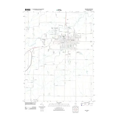
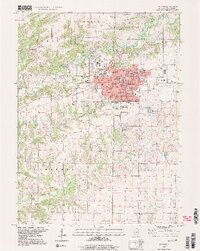 1997 Macomb1999 Print · USGSMacomb serves as a bustling university and county seat in the late nineties, balancing academic growth with its deep agricultural roots. Researchers can trace family history through numerous burial sites like Oakwood Cem or locate local landmarks like Western Illinois University and the central Courthouse.2 unique versions available
 - 1998 Map of Good Hope, 2000 Print
 1998 Good Hope2000 Print · USGSWestern Illinois agricultural lands and growing municipal centers are captured here in the late nineties. Genealogists and local historians can trace family plots at Hickory Grove Cemetery or explore the developments near Spring Lake and Good Hope.
 - 2012 Map of Macomb, 2012 Print
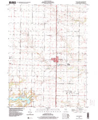
 2012 Macomb2012 Print · USGSCovers Macomb, including Lamoine Village, McDonough County, and other nearby areas
 - 2012 Map of Blandinsville, 2012 Print
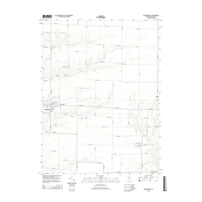
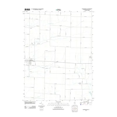 2012 Blandinsville2012 Print · USGSCovers Macomb, including Blandinsville, Sciota, and other nearby areas
 - 2012 Map of Good Hope, 2012 Print
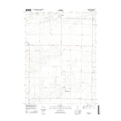
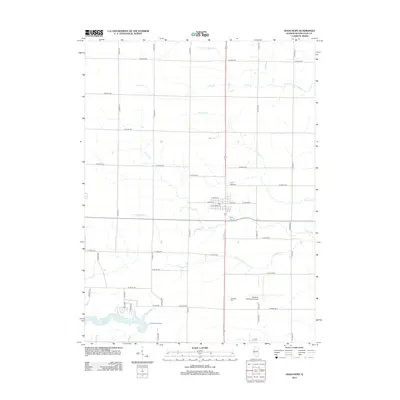 2012 Good Hope2012 Print · USGSCovers Macomb, including Good Hope, Sciota, and other nearby areas
 - 2012 Map of Bardolph, 2012 Print
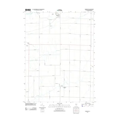 2012 Bardolph2012 Print · USGSCovers Macomb, including Bardolph, Pennington Point, and other nearby areas
 - 2015 Map of Blandinsville, 2015 Print
 2015 Blandinsville2015 Print · USGSCovers Macomb, including Blandinsville, Sciota, and other nearby areas
 - 2015 Map of Bardolph, 2015 Print
 2015 Bardolph2015 Print · USGSCovers Macomb, including Bardolph, Pennington Point, and other nearby areas
Showing maps 1-25 of 39
Top cities near Macomb
- Bushnell historical maps
- Colchester historical maps
- Blandinsville historical maps
- Industry historical maps
- Walnut Grove historical maps
- Prairie City historical maps
See more
Top neighborhoods of Macomb
Frequently asked questions
- What are the different types of historical maps available for Macomb?
- What is the oldest map of Macomb?
- Where can I purchase historical maps of Macomb for my home or office?
- Where can I download high-res historical maps of Macomb?
- Are there historical topographic maps available for Macomb?
- Is there historical aerial imagery available for Macomb?
- Where are historical maps of Macomb sourced from?