Old Maps of McCullom Lake, Illinois for Hiking & Exploration
Hike through history with 21 historic maps of McCullom Lake. Explore old trails, ghost towns, and forgotten backroads — perfect for outdoor adventurers and local explorers.
- Rediscover forgotten places: Map out old mining camps, roads, and footpaths that no longer exist on modern maps.
- Layer with modern tools: Combine with LiDAR or satellite views to plan hikes through historical terrain.
- Made for exploration: Popular among hikers, overlanders, and local history lovers.
Use these maps to find adventure and explore the hidden past of McCullom Lake.
McCullom Lake, IL maps
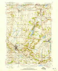
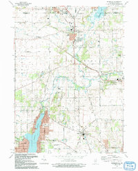
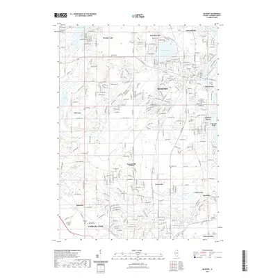
(21)- 1926 Map of Mc Henry
 1926 Mc Henry1926 Print · USGSMcHenry County in the mid-twenties is a landscape of thriving rural school districts and busy rail junctions. Genealogists can locate family-named landmarks like McConnell School and Burgett School or trace the early paths of the Chicago Milwaukee and St. Paul railroad.3 unique versions available
 - 1944 Map of McHenry, 1958 Print
 1944 McHenry1958 Print · USGSMcHenry County at the end of the war era reveals a dense network of rural schoolhouses and established railroad towns. Genealogists can trace family footprints near Solon Mills, Terra Cotta, and dozens of district schools like Queen Anne School.2 unique versions available
 - 1954 Map of Rockford
 1954 Rockford1954 Print · USGSThe Rock River valley and the Illinois-Wisconsin borderlands are captured here in the mid-1950s during a period of robust industrial and agricultural activity. Genealogists and historians can trace rail-era corridors like the Illinois Central RR and locate landmarks from Big Foot Prairie to Lake Geneva.
 - 1955 Map of Rockford
 1955 Rockford1955 Print · USGSThe Rock River valley and southern Wisconsin dairy country are shown here in the mid-fifties as the region's manufacturing centers grew. Genealogists and historians can trace the paths of the Chicago and North Western RR and Illinois Central RR through hubs like Rockford and Beloit.
 - 1958 Map of Rockford, 1974 Print
 1958 Rockford1974 Print · USGSNorthern Illinois and southern Wisconsin are shown here in the mid-twentieth century as rail-dependent industrial towns began to interface with growing lakefront communities. Genealogists can trace family roots through settlements like Saylesville and Tess Corners or locate historical landmarks like the Rockford Ordnance Depot.4 unique versions available
 - 1963 Map of Rockford
 1963 Rockford1963 Print · USGSThe mid-century industrial corridor along the Rock River is shown here during a period of rapid post-war growth. Researchers can trace the extensive rail lines of the Chicago and North Western or locate local landmarks like the Rockford Ordnance Depot and Holy Hill.
 - 1963 Map of Richmond, 1964 Print
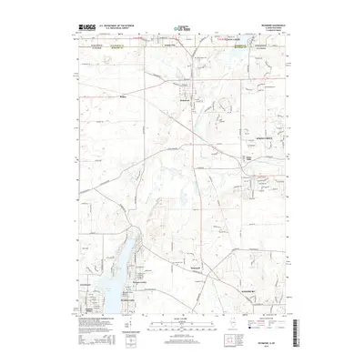
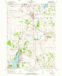 1963 Richmond1964 Print · USGSThe Illinois-Wisconsin borderlands come alive in the early sixties, showing the growth of Wonder Lake alongside established rail towns. Genealogists can trace family names at St Josephs Cem and Carr-Harrison Cem or locate the old Harrison Sch.3 unique versions available
 - 1963 Map of McHenry, 1964 Print
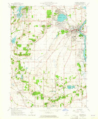 1963 McHenry1964 Print · USGSMcHenry County at the start of the 1960s shows a landscape of lakeside settlements and river-valley farms. Trace family roots at Holcombville Cem or Ridgefield Cem, and locate early landmarks like St Joseph Seminary and the Chicago and North Western rail line.3 unique versions available
 - 1981 Map of Elgin
 1981 Elgin1981 Print · USGSNorthern Illinois and southern Wisconsin are shown in the early eighties as suburban growth meets glacial terrain. Trace the paths of the Milwaukee Road through Harvard or explore the wetlands of Volo Bog State Natural Area.
 - 1992 Map of McHenry
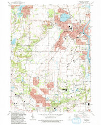 1992 McHenry1992 Print · USGSMcHenry County in the early nineties shows a landscape of growing residential lakes and riverfront suburbs. Genealogists and researchers can locate family sites at St Marys Cem or Ostend Cem, and trace the path of the Chicago and North Western railroad.
 - 1992 Map of Richmond
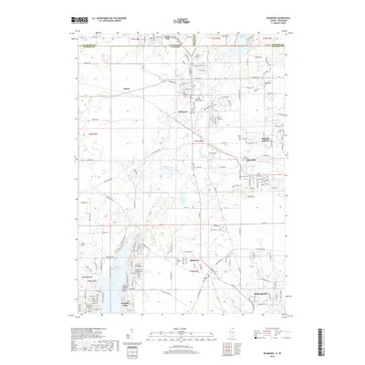
 1992 Richmond1992 Print · USGSThe Illinois-Wisconsin borderlands come alive in the early nineties, showing the transition from rural crossroads to growing communities. Genealogists and historians can trace family sites like Washington Cem and schools in Richmond or Ringwood.
 - 2012 Map of McHenry, 2012 Print
 2012 McHenry2012 Print · USGSCovers McCullom Lake, including Crystal Lake, McHenry, and other nearby areas
 - 2012 Map of Richmond, 2012 Print
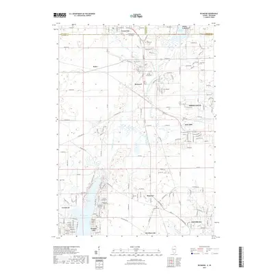
 2012 Richmond2012 Print · USGSCovers McCullom Lake, including Johnsburg, Spring Grove, and other nearby areas
 - 2015 Map of McHenry, 2015 Print
 2015 McHenry2015 Print · USGSCovers McCullom Lake, including Crystal Lake, McHenry, and other nearby areas
 - 2015 Map of Richmond, 2015 Print
 2015 Richmond2015 Print · USGSCovers McCullom Lake, including Johnsburg, Spring Grove, and other nearby areas
 - 2018 Map of McHenry, 2018 Print
 2018 McHenry2018 Print · USGSCovers McCullom Lake, including Crystal Lake, McHenry, and other nearby areas
 - 2018 Map of Richmond, 2018 Print
 2018 Richmond2018 Print · USGSCovers McCullom Lake, including Johnsburg, Spring Grove, and other nearby areas
 - 2021 Map of Richmond, 2021 Print
 2021 Richmond2021 Print · USGSCovers McCullom Lake, including Johnsburg, Spring Grove, and other nearby areas
 - 2021 Map of McHenry, 2021 Print
 2021 McHenry2021 Print · USGSCovers McCullom Lake, including Crystal Lake, McHenry, and other nearby areas
 - 2024 Map of Richmond, 2024 Print
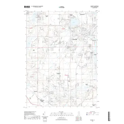
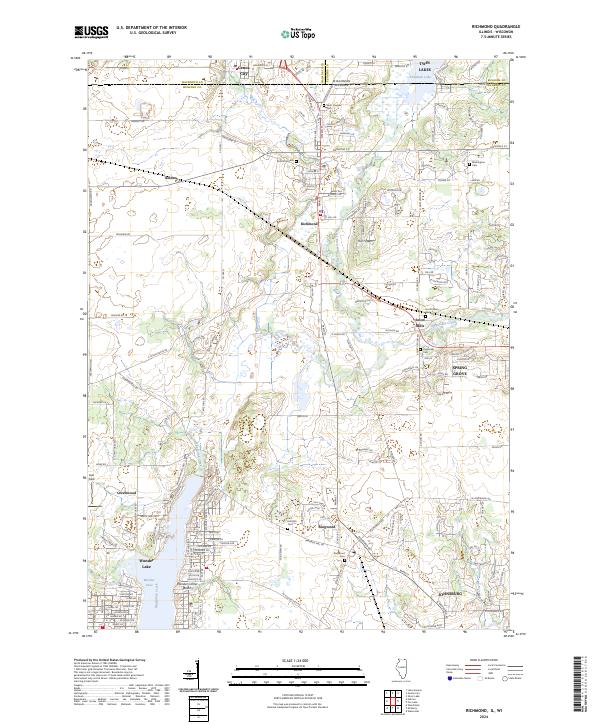 2024 Richmond2024 Print · USGSNorthern Illinois and southern Wisconsin meet in this contemporary survey of the Fox River valley watershed. Researchers can trace family roots through numerous burial grounds including Saint Josephs Cem and Richmond Cem, or explore the shores of Wonder Lake.
 - 2024 Map of McHenry, 2024 Print
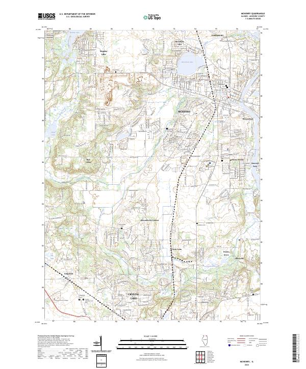 2024 McHenry2024 Print · USGSMcHenry and the Fox River valley are documented in this contemporary survey of northern Illinois. Genealogists can trace family heritage through numerous sites including Holcombville Cem, Saint Marys Cem, and Ridgefield Cem.
End of results
Showing maps 1-21 of 21
Top cities near McCullom Lake
- Palatine historical maps
- Crystal Lake historical maps
- Carpentersville historical maps
- Algonquin historical maps
- Lake in the Hills historical maps
- Round Lake Beach historical maps
See more
Frequently asked questions
- What are the different types of historical maps available for McCullom Lake?
- What is the oldest map of McCullom Lake?
- Where can I purchase historical maps of McCullom Lake for my home or office?
- Where can I download high-res historical maps of McCullom Lake?
- Are there historical topographic maps available for McCullom Lake?
- Is there historical aerial imagery available for McCullom Lake?
- Where are historical maps of McCullom Lake sourced from?