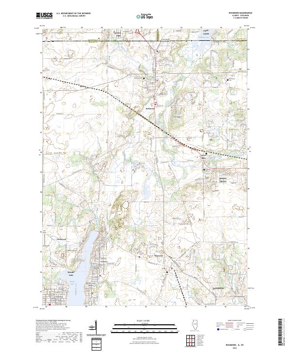
2024 Map of Richmond
USGS Topo · Published 2024About this map
Nippersink Creek and its north branch wind through this northern Illinois landscape, marking the transition between the rolling prairie and the glacial lake regions. The village of Richmond sits at the heart of the map, serving as a hub near the state line where the Wisconsin-Illinois boundary separates it from Genoa City. This 2024 survey captures a well-established network of residential developments and rural roads, including several community clusters like Solon Mills, Ringwood, and Spring Grove. The inclusion of the Hackmatack National Wildlife Refuge signifies a commitment to preserving the wetland ecosystems that define the local watershed. Genealogists will find a high concentration of local history markers, including Richmond Cem, Washington Cem, and Saint Josephs Cem, providing valuable touchpoints for tracing family connections in McHenry County.
Find a feature on this map
162 named features on this map. Tap any name to fly to it.
Don’t see what you’re looking for? This feature index may not catch every label — zoom into the map to look around manually.
Map Details
Editions of this 2024 Richmond Map
This is the sole edition of this map. No revisions or reprints were ever made.
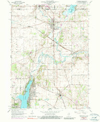
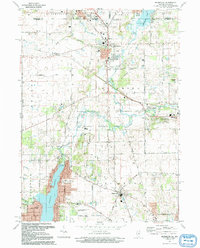
Historical Maps of McCullom Lake Through Time
3 maps found