2000s (21st Century) Maps of Normal, Illinois
Explore 20 historic maps of Normal from the 2000s (21st Century). These maps offer a rare glimpse into what life looked like during the 2000s — showing old roads, neighborhoods, homes, and landmarks that have changed or disappeared over time.
Whether you're researching your family's past, planning a metal detecting trip, or studying how Normal's landscape evolved across the 2000s, these high-resolution maps are a powerful tool for exploring the history of this region.
- Focus on a specific era: All maps on this page are from the 2000s, giving you a focused view of this time period.
- See what’s changed: Compare century-old streets, trails, and buildings to today's modern landscape using overlays and satellite layers.
- Research with precision: Use these maps for genealogy, historical research, land use analysis, or educational projects.
- View, download, or print: Maps are fully viewable online in high resolution, and can be downloaded or printed for your own records.
Start exploring Normal's history through authentic maps from the 2000s. This is your window into the past.
Normal, IL maps
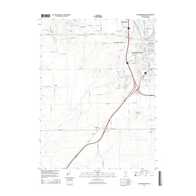
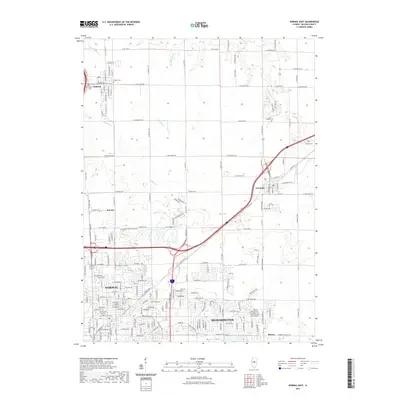
(20)- 2012 Map of Bloomington West, 2012 Print
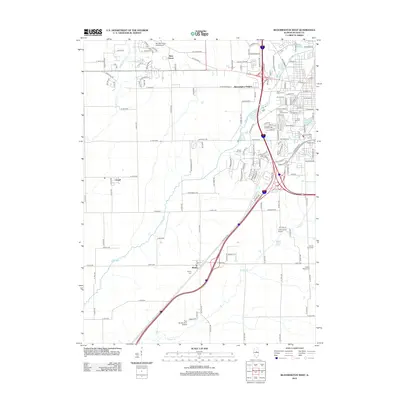 2012 Bloomington West2012 Print · USGSCovers Normal, including Bloomington, Twin Grove, and other nearby areas
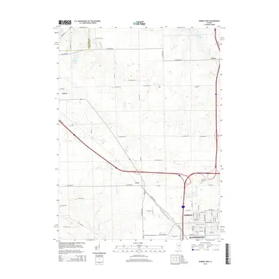
 - 2012 Map of Normal West, 2012 Print
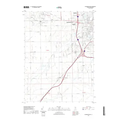
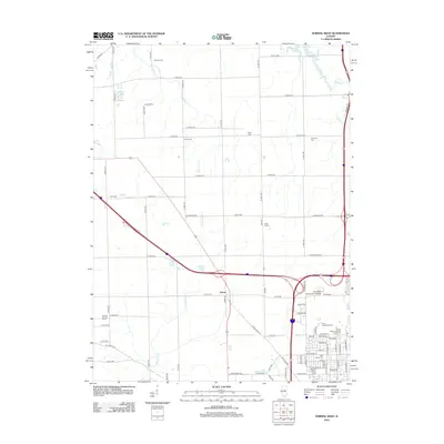 2012 Normal West2012 Print · USGSCovers Normal, including Bloomington, Hudson, and other nearby areas
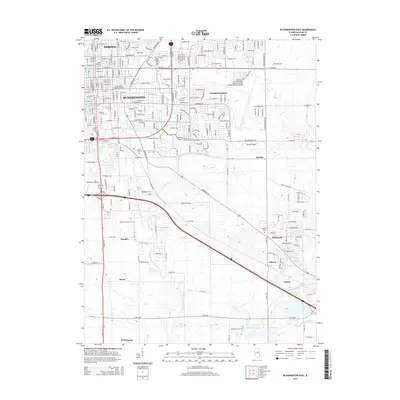
 - 2012 Map of Bloomington East, 2012 Print
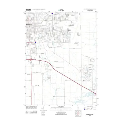 2012 Bloomington East2012 Print · USGSCovers Normal, including Bloomington, Randolph, and other nearby areas
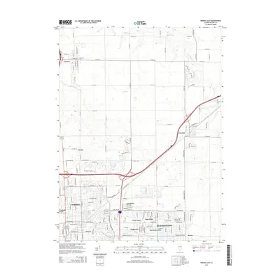
 - 2012 Map of Normal East, 2012 Print
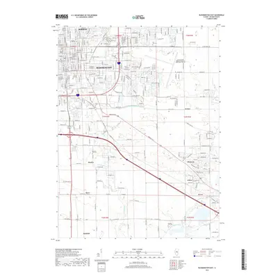
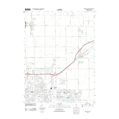 2012 Normal East2012 Print · USGSCovers Normal, including Bloomington, Hudson, and other nearby areas
 - 2015 Map of Bloomington West, 2015 Print
 2015 Bloomington West2015 Print · USGSCovers Normal, including Bloomington, Twin Grove, and other nearby areas
 - 2015 Map of Normal West, 2015 Print
 2015 Normal West2015 Print · USGSCovers Normal, including Bloomington, Hudson, and other nearby areas
 - 2015 Map of Bloomington East, 2015 Print
 2015 Bloomington East2015 Print · USGSCovers Normal, including Bloomington, Randolph, and other nearby areas
 - 2015 Map of Normal East, 2015 Print
 2015 Normal East2015 Print · USGSCovers Normal, including Bloomington, Hudson, and other nearby areas
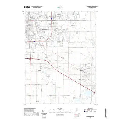
 - 2018 Map of Bloomington East, 2018 Print
 2018 Bloomington East2018 Print · USGSCovers Normal, including Bloomington, Randolph, and other nearby areas
 - 2018 Map of Normal East, 2018 Print
 2018 Normal East2018 Print · USGSCovers Normal, including Bloomington, Hudson, and other nearby areas
 - 2018 Map of Normal West, 2018 Print
 2018 Normal West2018 Print · USGSCovers Normal, including Bloomington, Hudson, and other nearby areas
 - 2018 Map of Bloomington West, 2018 Print
 2018 Bloomington West2018 Print · USGSCovers Normal, including Bloomington, Twin Grove, and other nearby areas
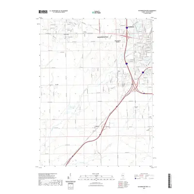
 - 2021 Map of Normal East, 2021 Print
 2021 Normal East2021 Print · USGSCovers Normal, including Bloomington, Hudson, and other nearby areas
 - 2021 Map of Bloomington East, 2021 Print
 2021 Bloomington East2021 Print · USGSCovers Normal, including Bloomington, Randolph, and other nearby areas
 - 2021 Map of Bloomington West, 2021 Print
 2021 Bloomington West2021 Print · USGSCovers Normal, including Bloomington, Twin Grove, and other nearby areas
 - 2021 Map of Normal West, 2021 Print
 2021 Normal West2021 Print · USGSCovers Normal, including Bloomington, Hudson, and other nearby areas
 - 2024 Map of Bloomington East, 2024 Print
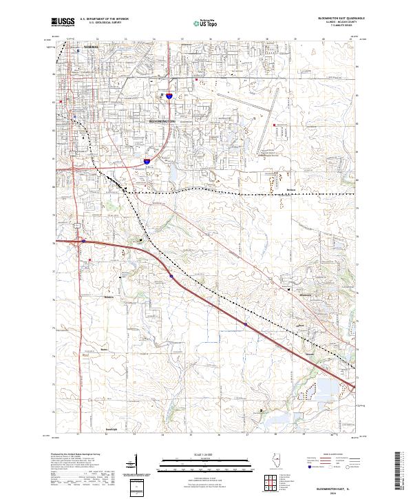 2024 Bloomington East2024 Print · USGSMcLean County appears as a blend of urban expansion and traditional prairie settlements in this recent survey. Local researchers can trace the growth of Normal and Bloomington or locate rural landmarks like Blooming Grove Cem and the village of Gillum.
 - 2024 Map of Normal East, 2024 Print
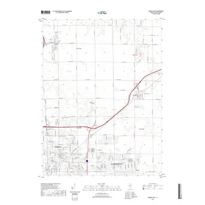
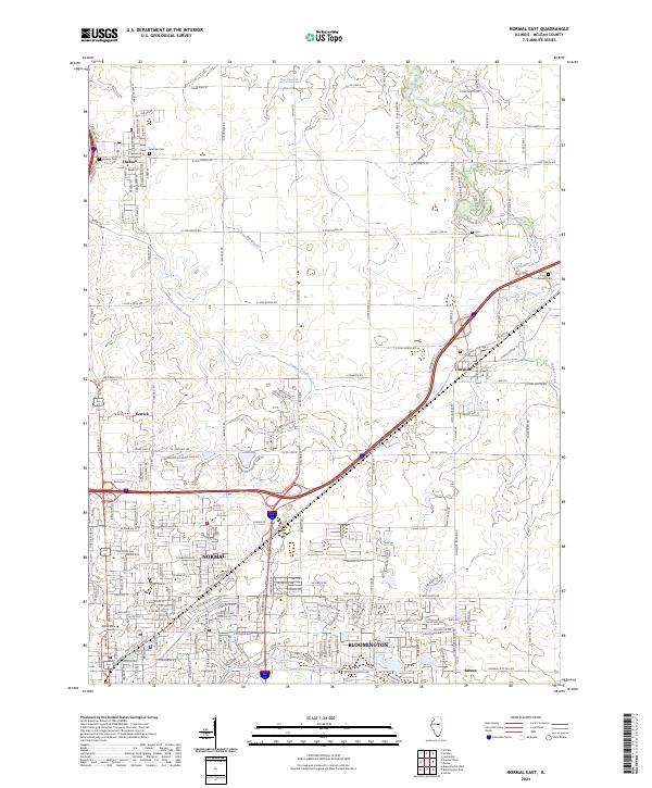 2024 Normal East2024 Print · USGSMcLean County is captured here at a moment of modern transition as the suburban reach of Normal and Bloomington meets the surrounding prairie. Researchers can trace ancestral sites at Bishop Cem or follow the legendary path of Old Rte 66 through the heart of Towanda.
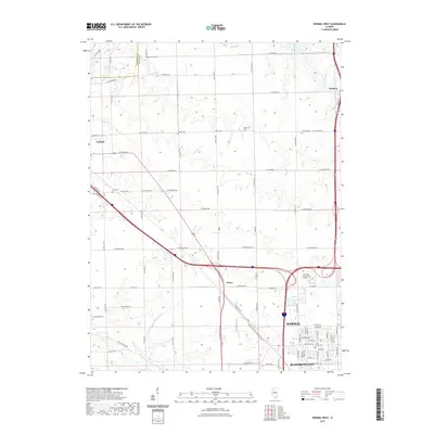
 - 2024 Map of Normal West, 2024 Print
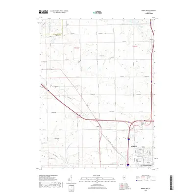
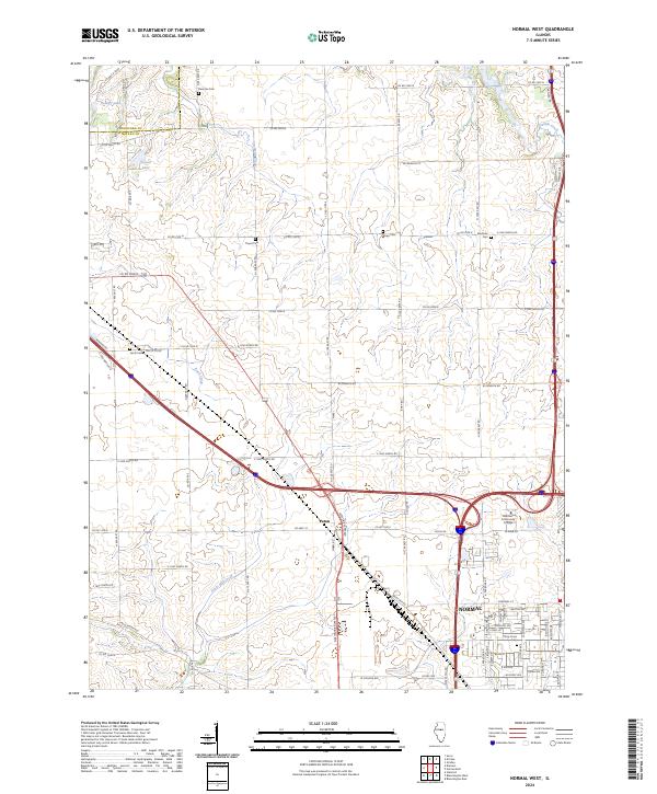 2024 Normal West2024 Print · USGSThe outskirts of Normal and the community of Yuton are documented here in the early 2020s as urban growth meets Illinois farmland. Family researchers can locate numerous burial sites including Denman Cem, Lantz Cem, and Ropp Cem.
 - 2024 Map of Bloomington West, 2024 Print
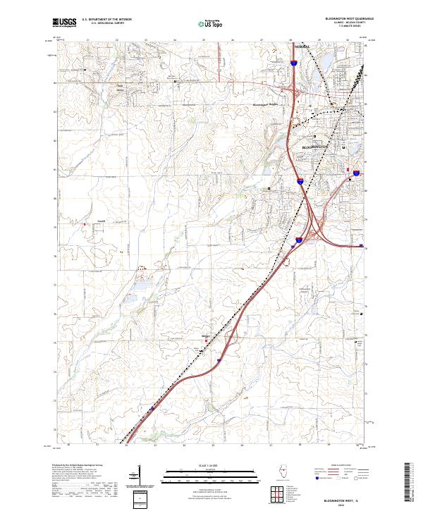 2024 Bloomington West2024 Print · USGSMcLean County's western reaches show the expansion of the Bloomington-Normal area into the surrounding prairie. Trace the rural landscape through family-named landmarks and sites like Shirley Cem, Cottonwood Airport, and the small community of Covell.
End of results
Showing maps 1-20 of 20
Top cities near Normal
- Bloomington historical maps
- Randolph historical maps
- El Paso historical maps
- Le Roy historical maps
- Heyworth historical maps
- Lexington historical maps
See more
Top neighborhoods of Normal
- Ironwood historical maps
- Landmark Subdivision historical maps
- Mark R. Peterson Plaza historical maps
- Pleasant Hill North historical maps
- University Park historical maps
- Bone Student Center North Courtyard historical maps
See more
Frequently asked questions
- What are the different types of historical maps available for Normal?
- What is the oldest map of Normal?
- Where can I purchase historical maps of Normal for my home or office?
- Where can I download high-res historical maps of Normal?
- Are there historical topographic maps available for Normal?
- Is there historical aerial imagery available for Normal?
- Where are historical maps of Normal sourced from?