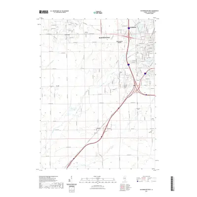
2021 Map of Bloomington West
USGS Topo · Published 2021About this map
Bloomington and its northwestern neighbor Normal dominate the landscape of this McLean County survey, where the expanding urban grid meets the agricultural heartland. The northeastern corner shows the concentrated development of Bloomington Heights, while to the southwest, smaller settlements like Shirley and Covell maintain a distinct identity away from the city core. This era of infrastructure is defined by the complex convergence of major highways, yet the map preserves numerous historical touchstones for local researchers, including an exceptional number of burial grounds such as Jewish Cem, Scogin Hill Cem, and the County Farm Cem.
Find a feature on this map
138 named features on this map. Tap any name to fly to it.
Don’t see what you’re looking for? This feature index may not catch every label — zoom into the map to look around manually.
Map Details
Editions of this 2021 Bloomington West Map
This is the sole edition of this map. No revisions or reprints were ever made.
Other maps of this area

1926 · Normal
USGS Topo · 1:62,500

1927 · Danvers
USGS Topo · 1:62,500

1930 · Danvers
USGS Topo · 1:62,500

1930 · Normal
USGS Topo · 1:62,500

1949 · Mc Lean
USGS Topo · 1:62,500

1951 · McLean
USGS Topo · 1:62,500

1951 · Le Roy
USGS Topo · 1:62,500

1958 · Peoria
USGS Topo · 1:250,000

1961 · Peoria
USGS Topo · 1:250,000

1963 · Peoria
USGS Topo · 1:250,000