Old Maps of Wanlock, Illinois for Genealogy
Trace your family roots with 14 historic maps of Wanlock. These high-res maps reveal old neighborhoods, homesites, landmarks, and streets — helping you uncover where your ancestors lived and how the area evolved over time.
- Explore historic neighborhoods: Identify where your relatives may have lived in the 1800s or 1900s.
- Compare maps over time: Trace the changes in streets, buildings, and landmarks for multi-generational research.
- Perfect for genealogy & ancestry research: Used by family historians and researchers to map out lineage and migration.
These maps are an incredible resource for exploring your personal connection to Wanlock's past.
Wanlock, IL maps
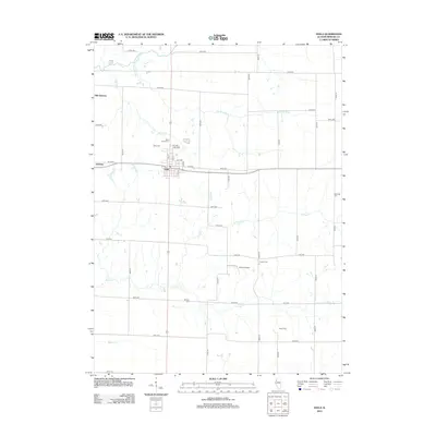
(14)- 1923 Map of Alexis
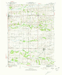 1923 Alexis1923 Print · USGSNorthwestern Illinois at the height of the steam-rail era shows a countryside dotted with local schools and coal-hauling branch lines. Genealogists and historians can trace family ties to Ohio Grove Church, Mann Cemetery, or vanished stops like Shale City.2 unique versions available
 - 1925 Map of Alexis
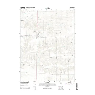
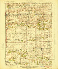 1925 Alexis1925 Print · USGSThe Illinois prairie of the 1920s is preserved here through a remarkably detailed network of rural schoolhouses and railroad stops. Trace the paths of the Rock Island Southern through Shale City or locate family roots at Ohio Grove Church and Mann Cemetery.
 - 1953 Map of Viola, 1957 Print
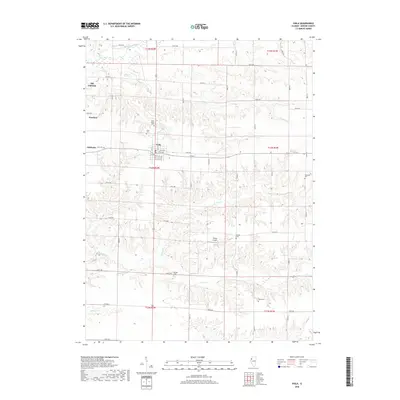
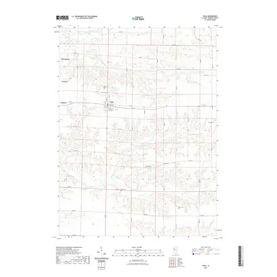
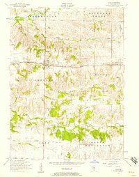 1953 Viola1957 Print · USGSMercer County farmland and rail-side villages appear in the early fifties during the height of the rural school era. Trace local family history through Viola Cemetery, Green Summit School, and the defunct rail stops at Gilchrist or Wanlock.2 unique versions available
 - 1958 Map of Davenport, 1968 Print
 1958 Davenport1968 Print · USGSEastern Iowa and western Illinois thrive along the river during the late fifties, defined by the industrial Quad Cities and a robust rail network. Genealogists can trace family roots through settlements like Oasis and Stanwood or along the Cedar River.2 unique versions available
 - 1961 Map of Davenport
 1961 Davenport1961 Print · USGSThe Quad Cities and the eastern Iowa riverlands are captured here in the early sixties, showing the region's transition into a modern industrial and transit hub. Genealogists and historians can trace the paths of major railroads and find river landmarks like Rock Island Arsenal, Huron Island, and the Coralville Reservoir.
 - 1962 Map of Davenport
 1962 Davenport1962 Print · USGSThe Quad Cities and the Mississippi River corridor are shown at their industrial peak just before the interstate era fully transformed the region. Researchers can trace the sprawling rail networks of the Chicago Rock Island and Pacific and find landmarks like the Rock Island Arsenal and Wild Cat Den State Park.
 - 1984 Map of Aledo, 1985 Print
 1984 Aledo1985 Print · USGSThe Mississippi River borderlands and Illinois heartland are captured here in the mid-eighties as industry and agriculture overlap. Trace the Hennepin Canal, the historic Swedish colony at Bishop Hill, and the rail corridors of the Burlington Northern.
 - 1989 Map of Aledo
 1989 Aledo1989 Print · USGSWestern Illinois and eastern Iowa are shown here during the late twentieth century, when the river-and-rail economy still defined the Quad Cities and the surrounding prairie. Researchers can trace historic settlements like Bishop Hill and Millersburg alongside active routes like the Chicago Rock Island & Pacific RR.
 - 1992 Map of Viola
 1992 Viola1992 Print · USGSViola and its surrounding townships are mapped here in the early nineties, showing a landscape shaped by rural industry and local creeks. Researchers can trace family sites at Cooper Cem, locate the Winola Sch, or follow the path of an Old Railroad Grade.
 - 2012 Map of Viola, 2012 Print
 2012 Viola2012 Print · USGSCovers Wanlock, including Viola, Gilchrist, and other nearby areas
 - 2015 Map of Viola, 2015 Print
 2015 Viola2015 Print · USGSCovers Wanlock, including Viola, Gilchrist, and other nearby areas
 - 2018 Map of Viola, 2018 Print
 2018 Viola2018 Print · USGSCovers Wanlock, including Viola, Gilchrist, and other nearby areas
 - 2021 Map of Viola, 2021 Print
 2021 Viola2021 Print · USGSCovers Wanlock, including Viola, Gilchrist, and other nearby areas
 - 2024 Map of Viola, 2024 Print
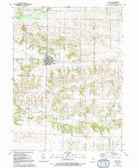
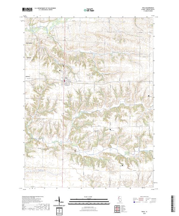 2024 Viola2024 Print · USGSModern Mercer County reveals its deep rural roots in this recent survey of the Viola area. Genealogists can trace family landmarks like Saint John's Cem and Hopewell Cem, or locate the historic sites of Old Gilchrist and Wanlock.
End of results
Showing maps 1-14 of 14
Top cities near Wanlock
- Moline historical maps
- Rock Island historical maps
- Milan historical maps
- Coal Valley historical maps
- Aledo historical maps
- Preemption historical maps
See more
Frequently asked questions
- What are the different types of historical maps available for Wanlock?
- What is the oldest map of Wanlock?
- Where can I purchase historical maps of Wanlock for my home or office?
- Where can I download high-res historical maps of Wanlock?
- Are there historical topographic maps available for Wanlock?
- Is there historical aerial imagery available for Wanlock?
- Where are historical maps of Wanlock sourced from?