Old Maps of Schram City, Illinois for Metal Detecting
Plan your next treasure hunt with 11 historic maps of Schram City. Find old homesites, ghost towns, trails, and gathering spots that may be lost to time — perfect for identifying promising metal detecting locations.
- Locate forgotten sites: Uncover places like long-lost settlements, abandoned rail lines, or gathering spots.
- Plan better hunts: Use map overlays combined with LiDAR or satellite views to narrow in on historically rich areas.
- Made for detectorists: Thousands of hobbyists use these maps to discover relics, coins, and hidden history.
Use these historic maps to boost your research and find new opportunities beneath the surface of Schram City.
Schram City, IL maps
(11)- 1947 Map of Hillsboro, 1963 Print
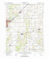 1947 Hillsboro1963 Print · USGSMid-century Montgomery County centers on the rail and water networks around Hillsboro and Coffeen. Local historians can trace dozens of rural landmarks, from the County Farm and Sycamore School to small family plots like McCord Cem and Taylor Cem.
 - 1949 Map of Hillsboro
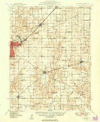 1949 Hillsboro1949 Print · USGSMontgomery County in the late 1940s is captured here at a peak of rail-driven industry and small-town growth. Genealogists and historians can trace the many rural schools and family cemeteries that dotted the landscape, from Taylor Springs to Fillmore and the Shiloh Ch.2 unique versions available
 - 1958 Map of Decatur, 1971 Print
 1958 Decatur1971 Print · USGSCentral Illinois in the mid-twentieth century shows a landscape defined by industrial rail hubs and the creation of large reservoirs. Researchers can trace historic corridors like the Penn Central or locate landmarks such as Lincoln Log Cabin State Park and Lake Springfield.3 unique versions available
 - 1961 Map of Decatur
 1961 Decatur1961 Print · USGSCentral Illinois in the late fifties was a bustling corridor of rail lines and prairie commerce centered on the state capital. Genealogists and historians can trace the intricate connections between Springfield, Decatur, and dozens of smaller settlements like Nokomis and Arcola.2 unique versions available
 - 1974 Map of Hillsboro, 1977 Print
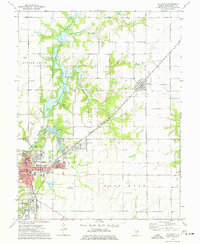 1974 Hillsboro1977 Print · USGSMid-century Montgomery County is centered here around Hillsboro and its neighboring lakefronts during a period of established local industry. Researchers can trace family roots at McCord Cem or locate the old Burbank Sch and Sehram City rail corridor.
 - 1982 Map of Litchfield
 1982 Litchfield1982 Print · USGSThe coal and rail corridors of Central Illinois are captured here in the early eighties as the region balanced industrial mining with its agricultural roots. Researchers can trace family history through sites like Zelmer Memorial Cemetery or the grounds of Blackburn College and the Crown Mine No 1.
 - 2012 Map of Hillsboro, 2012 Print
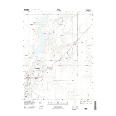
 2012 Hillsboro2012 Print · USGSCovers Schram City, including Hillsboro, Taylor Springs, and other nearby areas
 - 2015 Map of Hillsboro, 2015 Print
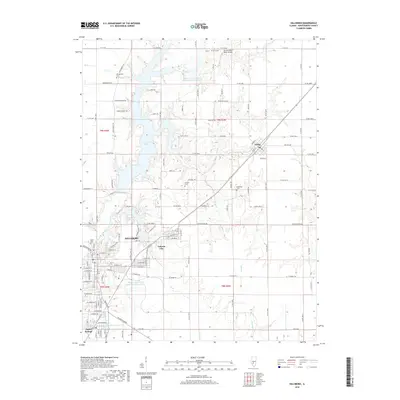
 2015 Hillsboro2015 Print · USGSCovers Schram City, including Hillsboro, Taylor Springs, and other nearby areas
 - 2018 Map of Hillsboro, 2018 Print
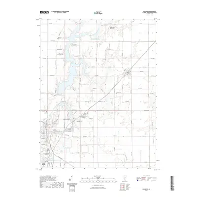
 2018 Hillsboro2018 Print · USGSCovers Schram City, including Hillsboro, Taylor Springs, and other nearby areas
 - 2021 Map of Hillsboro, 2021 Print
 2021 Hillsboro2021 Print · USGSCovers Schram City, including Hillsboro, Taylor Springs, and other nearby areas
 - 2024 Map of Hillsboro, 2024 Print
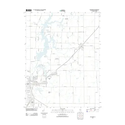
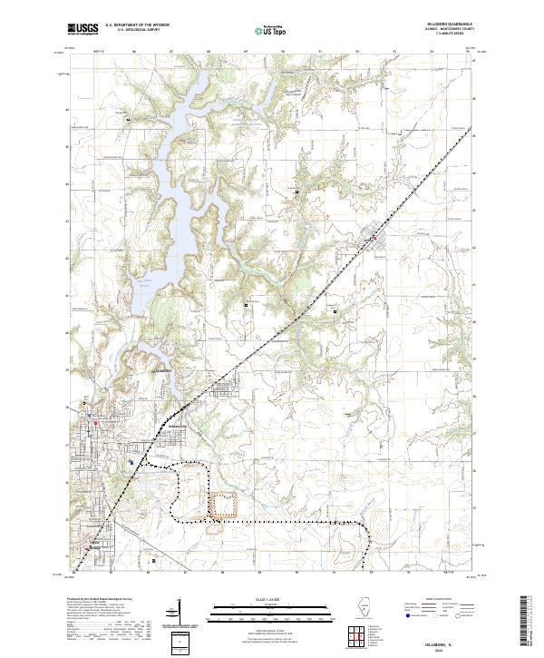 2024 Hillsboro2024 Print · USGSHillsboro and its satellite communities are captured in the 2020s, revealing a landscape defined by water management and civic history. Trace the layout of Schram City, locate the Montgomery County Courthouse, and find rural landmarks like Horsefeathers Ranch Airport.
End of results
Showing maps 1-11 of 11
Top cities near Schram City
- Litchfield historical maps
- Hillsboro historical maps
- Nokomis historical maps
- Witt historical maps
- Raymond historical maps
- Coffeen historical maps
See more
Frequently asked questions
- What are the different types of historical maps available for Schram City?
- What is the oldest map of Schram City?
- Where can I purchase historical maps of Schram City for my home or office?
- Where can I download high-res historical maps of Schram City?
- Are there historical topographic maps available for Schram City?
- Is there historical aerial imagery available for Schram City?
- Where are historical maps of Schram City sourced from?