Old Maps of Taylor Springs, Illinois
Explore 34 old maps of Taylor Springs, spanning from 1915 to today. These high-resolution historic maps reveal how streets, neighborhoods, landmarks, and natural features evolved over time — perfect for genealogy, metal detecting, research, and local history exploration.
What you can do with these maps:
- See how Taylor Springs changed over time: Compare historical maps to modern-day views to trace roads, homesites, rail lines & more.
- View detailed metadata: Each map includes creators, publishers, year, scale, and archive source.
- Overlay maps with satellite & LiDAR: Visualize the past alongside modern tools to explore terrain & human change.
- Trusted historical sources: Maps sourced from the USGS, Library of Congress, and other archives.
- Access maps your way: View online, download high-res files, or order prints for personal or research use.
Start exploring old maps of Taylor Springs to uncover forgotten places, hidden landmarks, and the deep history beneath your feet.
Taylor Springs, IL maps
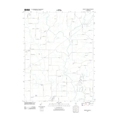
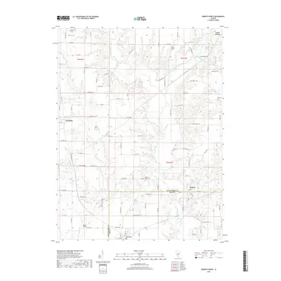
(34)- 1915 Map of Mount Olive
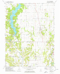
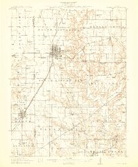 1915 Mount Olive1915 Print · USGSCentral Illinois at the height of the steam era reveals a landscape shaped by competing railroads and dense rural school districts. Genealogists can trace family footprints through numerous local landmarks like Ritchie School, Robbs Mound, and the many lines of the Illinois Traction.3 unique versions available
 - 1944 Map of Mount Olive, 1965 Print
 1944 Mount Olive1965 Print · USGSCentral Illinois during the mid-forties reveals a landscape defined by industrial rail junctions and dozens of rural school districts. Genealogists can locate family-named landmarks like Hardenburg School, Ware Grove School, and the community of Walshville along the Chicago and Northwestern tracks.
 - 1947 Map of Hillsboro, 1963 Print
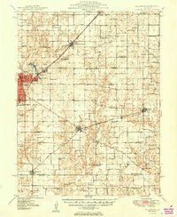
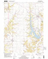
 1947 Hillsboro1963 Print · USGSMid-century Montgomery County centers on the rail and water networks around Hillsboro and Coffeen. Local historians can trace dozens of rural landmarks, from the County Farm and Sycamore School to small family plots like McCord Cem and Taylor Cem.
 - 1949 Map of Hillsboro
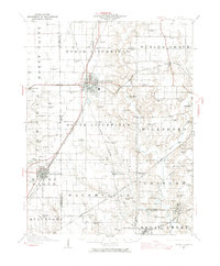
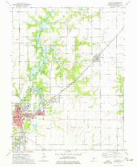
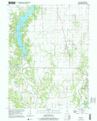
 1949 Hillsboro1949 Print · USGSMontgomery County in the late 1940s is captured here at a peak of rail-driven industry and small-town growth. Genealogists and historians can trace the many rural schools and family cemeteries that dotted the landscape, from Taylor Springs to Fillmore and the Shiloh Ch.2 unique versions available
 - 1958 Map of Decatur, 1971 Print
 1958 Decatur1971 Print · USGSCentral Illinois in the mid-twentieth century shows a landscape defined by industrial rail hubs and the creation of large reservoirs. Researchers can trace historic corridors like the Penn Central or locate landmarks such as Lincoln Log Cabin State Park and Lake Springfield.3 unique versions available
 - 1961 Map of Decatur
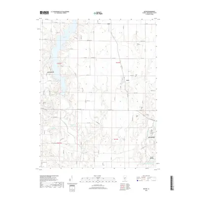
 1961 Decatur1961 Print · USGSCentral Illinois in the late fifties was a bustling corridor of rail lines and prairie commerce centered on the state capital. Genealogists and historians can trace the intricate connections between Springfield, Decatur, and dozens of smaller settlements like Nokomis and Arcola.2 unique versions available
 - 1974 Map of Butler, 1977 Print
 1974 Butler1977 Print · USGSThe northern edge of Hillsboro and the rural township of Butler Grove are documented in the mid-seventies. Researchers can locate local landmarks like Wares Grove Ch and Cress Hill Cem, or trace the ABANDONED rail line near Butler.
 - 1974 Map of Hillsboro, 1977 Print
 1974 Hillsboro1977 Print · USGSMid-century Montgomery County is centered here around Hillsboro and its neighboring lakefronts during a period of established local industry. Researchers can trace family roots at McCord Cem or locate the old Burbank Sch and Sehram City rail corridor.
 - 1974 Map of Coffeen, 1977 Print
 1974 Coffeen1977 Print · USGSCoffeen and Donnellson are captured in the mid-1970s as industrial development reshaped the Montgomery County countryside. Researchers can trace family history at the County Farm Cem or locate industrial landmarks like the Powerplant Stack and the Norfolk and Western rail line.
 - 1974 Map of Sorento North, 1977 Print
 1974 Sorento North1977 Print · USGSMid-century Montgomery County, Illinois, reveals a landscape defined by coal mining and a dense network of competing railroads. Genealogists and historians can trace family roots at Clear Springs Cem or locate industrial sites like the Mine near Panama.
 - 1982 Map of Litchfield
 1982 Litchfield1982 Print · USGSThe coal and rail corridors of Central Illinois are captured here in the early eighties as the region balanced industrial mining with its agricultural roots. Researchers can trace family history through sites like Zelmer Memorial Cemetery or the grounds of Blackburn College and the Crown Mine No 1.
 - 1998 Map of Sorento North, 2002 Print
 1998 Sorento North2002 Print · USGSThe rural landscapes of Montgomery County are captured here in the late twentieth century as agriculture and small-town life persisted. Researchers can locate family burial sites at Hart Cem and Union Cem, or trace the path of the Old RR Gr near Sorento.
 - 1998 Map of Butler, 2002 Print
 1998 Butler2002 Print · USGSThe village of Butler and the expansive waters of Lake Lou Yaeger define this Montgomery County landscape in the late nineties. Researchers can trace family history at Butler Cem or follow the path of an Old RR Grade and the Middle Fork Shoal Creek.
 - 1998 Map of Coffeenn, 2002 Print
 1998 Coffeenn2002 Print · USGSThe Montgomery and Bond County line comes alive in the late 1990s as industrial utility meets rural heritage near the shores of Coffeen Lake. Researchers can trace genealogical roots at Edward Chapel and McDavid Point Cem or explore the power-generation landscape surrounding Coffeen.
 - 2012 Map of Coffeen, 2012 Print
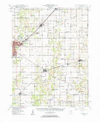
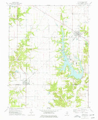
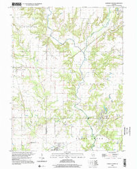
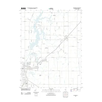
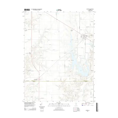
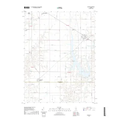
 2012 Coffeen2012 Print · USGSCovers Taylor Springs, including Hillsboro, Coffeen, and other nearby areas
 - 2012 Map of Sorento North, 2012 Print
 2012 Sorento North2012 Print · USGSCovers Taylor Springs, including Sorento, Panama, and other nearby areas
 - 2012 Map of Butler, 2012 Print
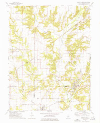
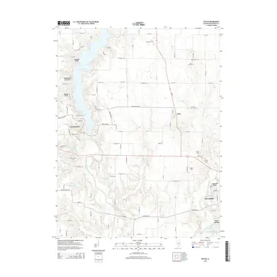
 2012 Butler2012 Print · USGSCovers Taylor Springs, including Litchfield, Hillsboro, and other nearby areas
 - 2012 Map of Hillsboro, 2012 Print
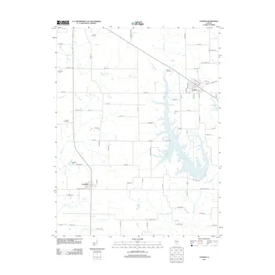
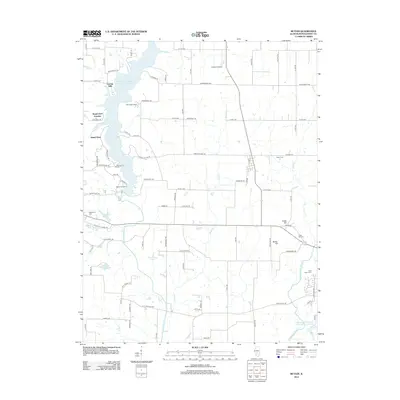
 2012 Hillsboro2012 Print · USGSCovers Taylor Springs, including Hillsboro, Schram City, and other nearby areas
 - 2015 Map of Hillsboro, 2015 Print
 2015 Hillsboro2015 Print · USGSCovers Taylor Springs, including Hillsboro, Schram City, and other nearby areas
 - 2015 Map of Coffeen, 2015 Print
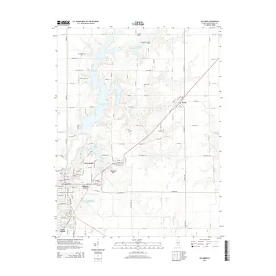
 2015 Coffeen2015 Print · USGSCovers Taylor Springs, including Hillsboro, Coffeen, and other nearby areas
 - 2015 Map of Butler, 2015 Print
 2015 Butler2015 Print · USGSCovers Taylor Springs, including Litchfield, Hillsboro, and other nearby areas
 - 2015 Map of Sorento North, 2015 Print
 2015 Sorento North2015 Print · USGSCovers Taylor Springs, including Sorento, Panama, and other nearby areas
 - 2018 Map of Coffeen, 2018 Print
 2018 Coffeen2018 Print · USGSCovers Taylor Springs, including Hillsboro, Coffeen, and other nearby areas
 - 2018 Map of Sorento North, 2018 Print
 2018 Sorento North2018 Print · USGSCovers Taylor Springs, including Sorento, Panama, and other nearby areas
 - 2018 Map of Butler, 2018 Print
 2018 Butler2018 Print · USGSCovers Taylor Springs, including Litchfield, Hillsboro, and other nearby areas
Showing maps 1-25 of 34
Top cities near Taylor Springs
- Greenville historical maps
- Litchfield historical maps
- Hillsboro historical maps
- Nokomis historical maps
- Mount Olive historical maps
- Witt historical maps
See more
Frequently asked questions
- What are the different types of historical maps available for Taylor Springs?
- What is the oldest map of Taylor Springs?
- Where can I purchase historical maps of Taylor Springs for my home or office?
- Where can I download high-res historical maps of Taylor Springs?
- Are there historical topographic maps available for Taylor Springs?
- Is there historical aerial imagery available for Taylor Springs?
- Where are historical maps of Taylor Springs sourced from?