2020s Maps of Taylor Springs, Illinois
Explore 8 historic maps of Taylor Springs from the 2020s. These maps offer a rare glimpse into what life looked like during the 2020s — showing old roads, neighborhoods, homes, and landmarks that have changed or disappeared over time.
Whether you're researching your family's past, planning a metal detecting trip, or studying how Taylor Springs's landscape evolved across the 2020s, these high-resolution maps are a powerful tool for exploring the history of this region.
- Focus on a specific era: All maps on this page are from the 2020s, giving you a focused view of this time period.
- See what’s changed: Compare century-old streets, trails, and buildings to today's modern landscape using overlays and satellite layers.
- Research with precision: Use these maps for genealogy, historical research, land use analysis, or educational projects.
- View, download, or print: Maps are fully viewable online in high resolution, and can be downloaded or printed for your own records.
Start exploring Taylor Springs's history through authentic maps from the 2020s. This is your window into the past.
Taylor Springs, IL maps
(8)- 2021 Map of Butler, 2021 Print
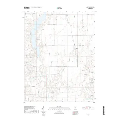 2021 Butler2021 Print · USGSCovers Taylor Springs, including Litchfield, Hillsboro, and other nearby areas
 - 2021 Map of Sorento North, 2021 Print
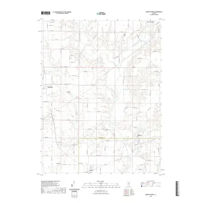 2021 Sorento North2021 Print · USGSCovers Taylor Springs, including Sorento, Panama, and other nearby areas
 - 2021 Map of Hillsboro, 2021 Print
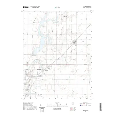 2021 Hillsboro2021 Print · USGSCovers Taylor Springs, including Hillsboro, Schram City, and other nearby areas
 - 2021 Map of Coffeen, 2021 Print
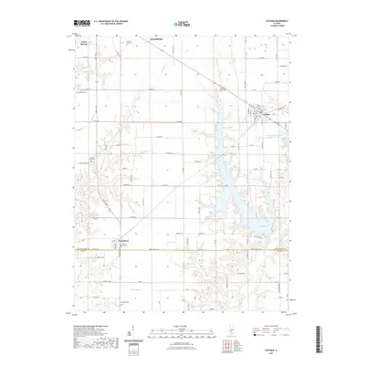 2021 Coffeen2021 Print · USGSCovers Taylor Springs, including Hillsboro, Coffeen, and other nearby areas
 - 2024 Map of Sorento North, 2024 Print
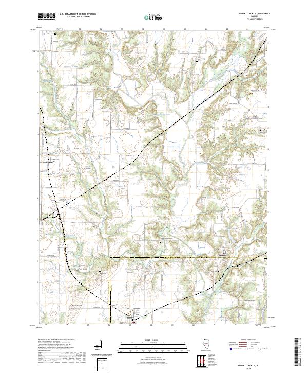 2024 Sorento North2024 Print · USGSMontgomery and Bond counties appear in detail as they were in the early 2020s, showcasing a rural landscape defined by creek forks and crossroads. Family historians can trace numerous burial grounds, from Walshville Baptist Cem to the remote Kirkland Cem.
 - 2024 Map of Butler, 2024 Print
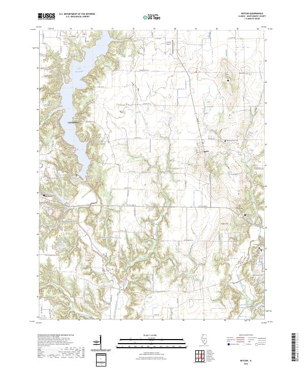 2024 Butler2024 Print · USGSMontgomery County’s rural landscape is captured here in the present day, centered on the village of Butler and the eastern outskirts of Litchfield. Genealogists can locate family sites at Wares Grove Cem, Cress Hill Cem, and the shores of Lake Lou Yaeger.
 - 2024 Map of Hillsboro, 2024 Print
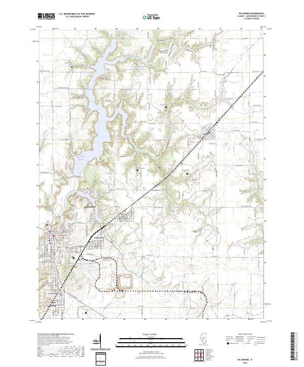 2024 Hillsboro2024 Print · USGSHillsboro and its satellite communities are captured in the 2020s, revealing a landscape defined by water management and civic history. Trace the layout of Schram City, locate the Montgomery County Courthouse, and find rural landmarks like Horsefeathers Ranch Airport.
 - 2024 Map of Coffeen, 2024 Print
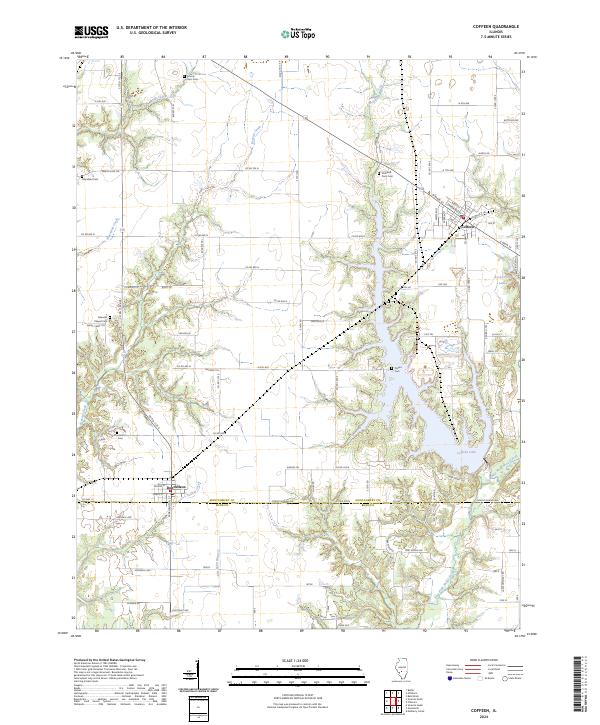 2024 Coffeen2024 Print · USGSThe Illinois border of Montgomery and Bond counties comes into focus in this contemporary survey of the Coffeen Lake area. Researchers can trace local lineage through several sites including County Farm Cem, Edwards Chapel Cem, and the village of Donnellson.
End of results
Showing maps 1-8 of 8
Top cities near Taylor Springs
- Greenville historical maps
- Litchfield historical maps
- Hillsboro historical maps
- Nokomis historical maps
- Mount Olive historical maps
- Witt historical maps
See more
Frequently asked questions
- What are the different types of historical maps available for Taylor Springs?
- What is the oldest map of Taylor Springs?
- Where can I purchase historical maps of Taylor Springs for my home or office?
- Where can I download high-res historical maps of Taylor Springs?
- Are there historical topographic maps available for Taylor Springs?
- Is there historical aerial imagery available for Taylor Springs?
- Where are historical maps of Taylor Springs sourced from?