Old Maps of Lynnville, Illinois for Academic Research
Study the evolution of Lynnville with 12 high-resolution historic maps. Whether you're teaching, researching, or modeling changes in land use, these maps provide essential visual documentation of urban, environmental, and geographic change.
- Analyze long-term change: Track patterns in development, transportation, and natural features.
- Ideal for environmental or urban studies: Support academic projects with primary historical map data.
- Use in the classroom or lab: Educators and researchers rely on these maps to bring historical context to life.
These maps are a powerful tool for teaching, research, and visualizing how Lynnville has changed over the decades.
Lynnville, IL maps
(12)- 1924 Map of Winchester
 1924 Winchester1924 Print · USGSScott and Morgan counties are shown here during the early twenties as a thriving network of small-town rail stops and rural schools. Genealogists can locate dozens of local landmarks like Oak Grove School, Seminary School, and the junction at Winchester.3 unique versions available
 - 1926 Map of Winchester
 1926 Winchester1926 Print · USGSScott and Morgan counties are shown in the mid-twenties, revealing a landscape of small agricultural villages and decentralized country schools. Genealogists can trace family footprints near Strawns Grove School, the Poor Farm, or the rail depot at Alsey.
 - 1948 Map of Quincy
 1948 Quincy1948 Print · USGSThe Mississippi and Illinois River valleys are captured at a post-war crossroads as rail and river travel met the expanding highway system. Genealogists can trace family settlements from Quincy to Hannibal and smaller towns like Vandalia and Jerseyville.2 unique versions available
 - 1956 Map of Quincy, 1967 Print
 1956 Quincy1967 Print · USGSThe river and rail corridors of the Illinois-Missouri border are documented here during the mid-1950s. Researchers can trace historic river landings and regional transit hubs from Quincy and Hannibal to smaller settlements like Meredosia and Roodhouse.3 unique versions available
 - 1983 Map of Lynnville
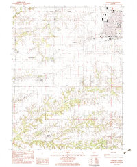 1983 Lynnville1983 Print · USGSJacksonville and its rural outskirts come into focus in the early 1980s, showing the city's western expansion toward the Morgan County line. Researchers can locate several burial sites including Lynnville Cem and Lewis Cem, or trace the Norfolk and Western rail line.
 - 1985 Map of Meredosia, 1988 Print
 1985 Meredosia1988 Print · USGSWest Central Illinois in the mid-eighties was a landscape of deep-rooted river towns and historic educational institutions. Genealogists and historians can trace family ties through Diamond Grove Cem, locate MacMurray College in Jacksonville, or study the river engineering at La Grange Lock and Dam.
 - 1990 Map of Meredosia
 1990 Meredosia1990 Print · USGSThe Illinois River valley and its surrounding farm towns are captured here in the 1990s. Trace the intricate rail lines of the Norfolk Southern Railway and find local landmarks like Diamond Grove Cem or the Meredosia National Wildlife Refuge.
 - 2012 Map of Lynnville, 2012 Print
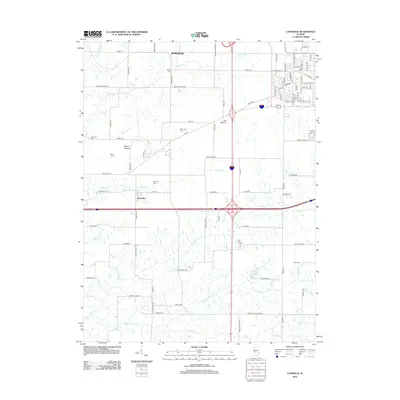 2012 Lynnville2012 Print · USGSMorgan County is captured here in the early twenty-first century, showcasing a transition between historic rural settlements and modern transit corridors. Researchers can locate numerous local burial sites like Richardson Cem and trace the paths of Big Sandy Cr and Spoon Cr.
 - 2015 Map of Lynnville, 2015 Print
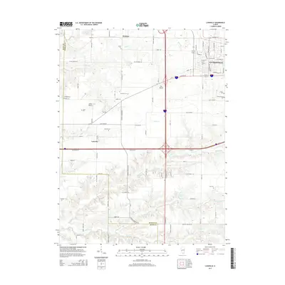 2015 Lynnville2015 Print · USGSThe western edge of Jacksonville and the rural village of Lynnville are captured here in the mid-2010s. Researchers can locate numerous local burial sites including Lynnville Cem and Richardson Cem, or trace landmarks like The Mound.
 - 2018 Map of Lynnville, 2018 Print
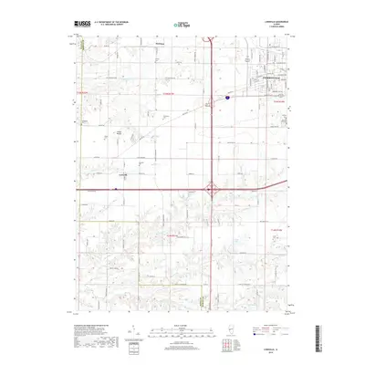 2018 Lynnville2018 Print · USGSJacksonville and its rural surroundings are captured in this recent survey of Morgan County. Genealogists can trace family heritage through numerous burial sites like Diamond Grove Cem, Lynnville Cem, and the prominent The Mound landmark.
 - 2021 Map of Lynnville, 2021 Print
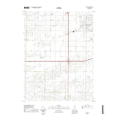 2021 Lynnville2021 Print · USGSWestern Morgan County is captured here in the early twenty-first century, showing the rural-to-urban transition near Jacksonville. Researchers can trace ancestral roots through numerous local burial sites like Lynnville Cem and Lewis Cem or explore the drainage of Spoon Cr.
 - 2024 Map of Lynnville, 2024 Print
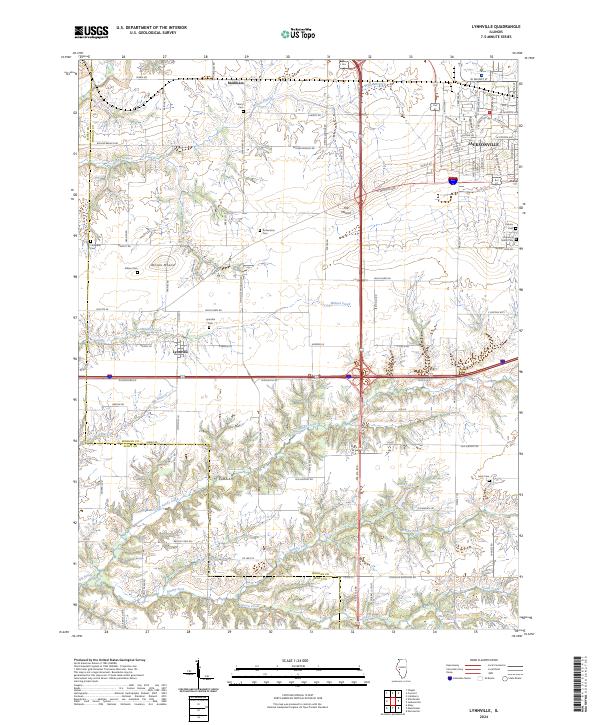 2024 Lynnville2024 Print · USGSThe Morgan and Scott County border comes alive in this modern survey, capturing the agricultural heartland around Lynnville and Markham. Genealogists can locate family sites at Diamond Grove Cem or trace rural landmarks like Allison Mound.
End of results
Showing maps 1-12 of 12
Top cities near Lynnville
- Jacksonville historical maps
- South Jacksonville historical maps
- Winchester historical maps
- Roodhouse historical maps
- Meredosia historical maps
- Bluffs historical maps
See more
Frequently asked questions
- What are the different types of historical maps available for Lynnville?
- What is the oldest map of Lynnville?
- Where can I purchase historical maps of Lynnville for my home or office?
- Where can I download high-res historical maps of Lynnville?
- Are there historical topographic maps available for Lynnville?
- Is there historical aerial imagery available for Lynnville?
- Where are historical maps of Lynnville sourced from?