Old Maps of Roodhouse, Illinois
Explore 17 old maps of Roodhouse, spanning from 1924 to today. These high-resolution historic maps reveal how streets, neighborhoods, landmarks, and natural features evolved over time — perfect for genealogy, metal detecting, research, and local history exploration.
What you can do with these maps:
- See how Roodhouse changed over time: Compare historical maps to modern-day views to trace roads, homesites, rail lines & more.
- View detailed metadata: Each map includes creators, publishers, year, scale, and archive source.
- Overlay maps with satellite & LiDAR: Visualize the past alongside modern tools to explore terrain & human change.
- Trusted historical sources: Maps sourced from the USGS, Library of Congress, and other archives.
- Access maps your way: View online, download high-res files, or order prints for personal or research use.
Start exploring old maps of Roodhouse to uncover forgotten places, hidden landmarks, and the deep history beneath your feet.
Roodhouse, IL maps
(17)- 1924 Map of Roodhouse, 1958 Print
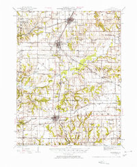 1924 Roodhouse1958 Print · USGSGreene County thrived as a railroad hub in the 1920s, defined by the busy yards at Roodhouse and the nearby center of White Hall. Genealogists can locate dozens of vanished rural landmarks, including the Swamp College School and the Martin Prairie Church.2 unique versions available
 - 1926 Map of Roodhouse
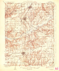 1926 Roodhouse1926 Print · USGSGreene County in the mid-1920s is a landscape of established rail towns and a high density of country schoolhouses. Genealogists and historians can trace family roots through numerous local landmarks like Swamp College School, Oakland Church, and the settlement of Berdan.2 unique versions available
 - 1948 Map of Quincy
 1948 Quincy1948 Print · USGSThe Mississippi and Illinois River valleys are captured at a post-war crossroads as rail and river travel met the expanding highway system. Genealogists can trace family settlements from Quincy to Hannibal and smaller towns like Vandalia and Jerseyville.2 unique versions available
 - 1956 Map of Quincy, 1967 Print
 1956 Quincy1967 Print · USGSThe river and rail corridors of the Illinois-Missouri border are documented here during the mid-1950s. Researchers can trace historic river landings and regional transit hubs from Quincy and Hannibal to smaller settlements like Meredosia and Roodhouse.3 unique versions available
 - 1983 Map of Roodhouse West, 1984 Print
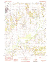
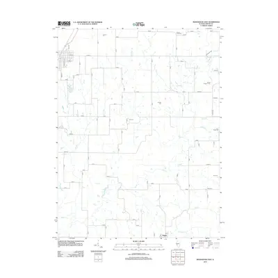
 1983 Roodhouse West1984 Print · USGSGreene County agriculture and rail industry intersect in the early eighties between White Hall and Patterson. Researchers can locate numerous family-named burial grounds like Hanks Cem and Hicks Cem or trace the Illinois Central Gulf line.
 - 1983 Map of Roodhouse East, 1984 Print
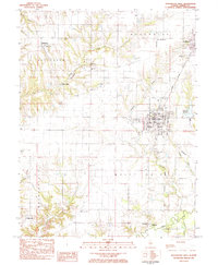
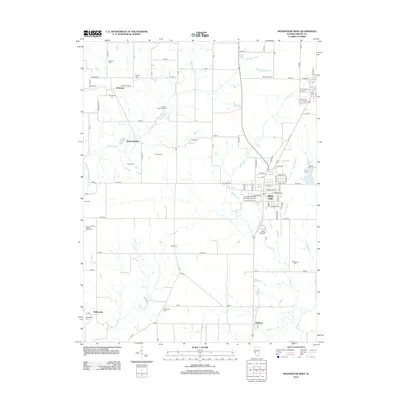
 1983 Roodhouse East1984 Print · USGSGreene County in the early eighties shows the intersection of the Illinois Central Gulf railroad with a landscape of family farms and emerging industry. Genealogists can trace rural roots through numerous burial grounds like Tumison Cem and Martins Prairie Cem or locate the community landmarks of Roodhouse.
 - 1985 Map of Jerseyville
 1985 Jerseyville1985 Print · USGSThe confluence of the Illinois and Mississippi rivers defines this 1980s landscape of fertile bottomlands and rail-hub towns. Genealogists and historians can trace the foundations of communities like Jerseyville and White Hall alongside the Oak Grove Cem and St Mary Church.2 unique versions available
 - 2012 Map of Roodhouse East, 2012 Print
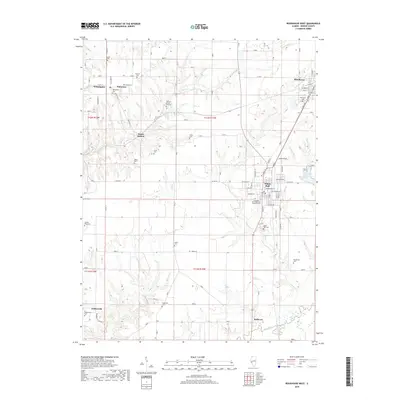
 2012 Roodhouse East2012 Print · USGSCovers Roodhouse, including White Hall, Wrights, and other nearby areas
 - 2012 Map of Roodhouse West, 2012 Print
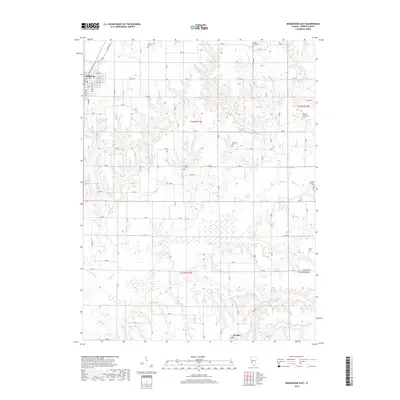
 2012 Roodhouse West2012 Print · USGSCovers Roodhouse, including White Hall, Patterson, and other nearby areas
 - 2015 Map of Roodhouse East, 2015 Print
 2015 Roodhouse East2015 Print · USGSCovers Roodhouse, including White Hall, Wrights, and other nearby areas
 - 2015 Map of Roodhouse West, 2015 Print
 2015 Roodhouse West2015 Print · USGSCovers Roodhouse, including White Hall, Patterson, and other nearby areas
 - 2018 Map of Roodhouse West, 2018 Print
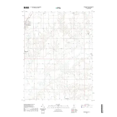
 2018 Roodhouse West2018 Print · USGSCovers Roodhouse, including White Hall, Patterson, and other nearby areas
 - 2018 Map of Roodhouse East, 2018 Print
 2018 Roodhouse East2018 Print · USGSCovers Roodhouse, including White Hall, Wrights, and other nearby areas
 - 2021 Map of Roodhouse East, 2021 Print
 2021 Roodhouse East2021 Print · USGSCovers Roodhouse, including White Hall, Wrights, and other nearby areas
 - 2021 Map of Roodhouse West, 2021 Print
 2021 Roodhouse West2021 Print · USGSCovers Roodhouse, including White Hall, Patterson, and other nearby areas
 - 2024 Map of Roodhouse East, 2024 Print
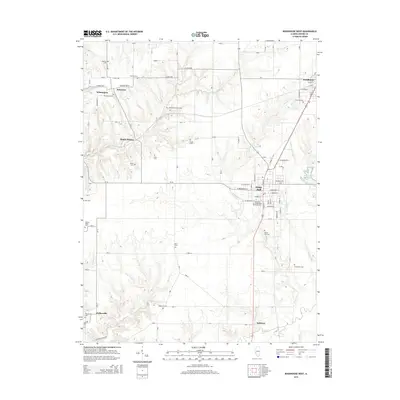
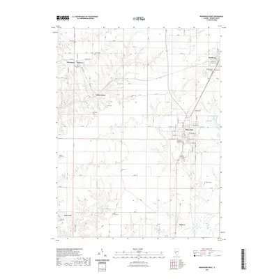
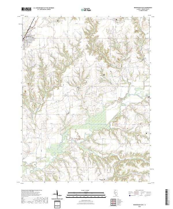 2024 Roodhouse East2024 Print · USGSGreene County is shown here in its modern agricultural and rural character, centered on the communities of Roodhouse and Wrights. Family historians can trace several burial sites like Tunnison Cem and Jones Cem among the drainages of Apple Creek.
 - 2024 Map of Roodhouse West, 2024 Print
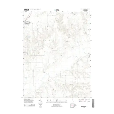
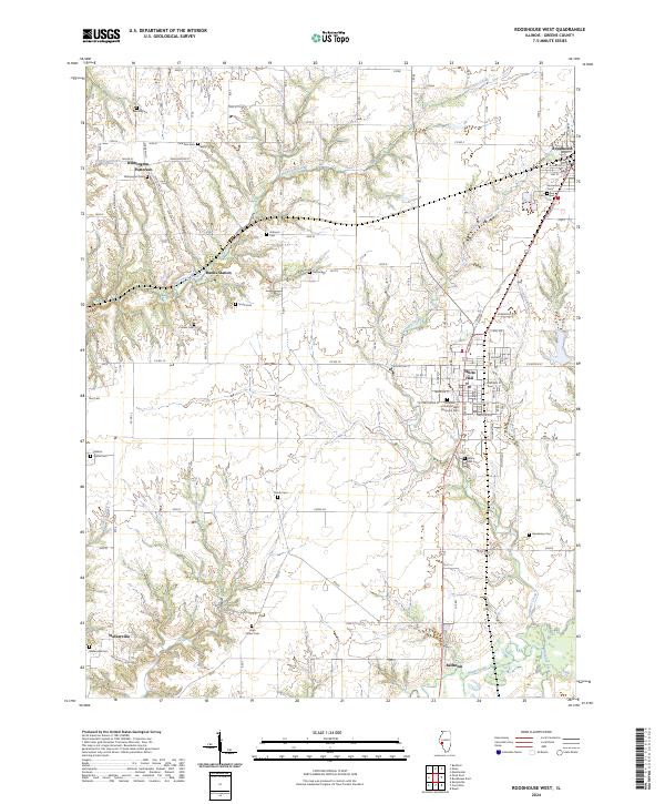 2024 Roodhouse West2024 Print · USGSGreene County's rural landscape is captured here in the 2020s, showing the settled areas of White Hall and Roodhouse. Researchers can locate numerous family burial sites, including Johnson Cem and Hicks Cem, or trace local routes like the Walkervill Blacktop.
End of results
Showing maps 1-17 of 17
Top cities near Roodhouse
- Jacksonville historical maps
- South Jacksonville historical maps
- Carrollton historical maps
- White Hall historical maps
- Winchester historical maps
- Greenfield historical maps
See more
Frequently asked questions
- What are the different types of historical maps available for Roodhouse?
- What is the oldest map of Roodhouse?
- Where can I purchase historical maps of Roodhouse for my home or office?
- Where can I download high-res historical maps of Roodhouse?
- Are there historical topographic maps available for Roodhouse?
- Is there historical aerial imagery available for Roodhouse?
- Where are historical maps of Roodhouse sourced from?