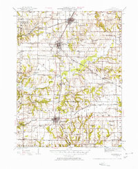
1924 Map of Roodhouse
USGS Topo · Published 1958About this map
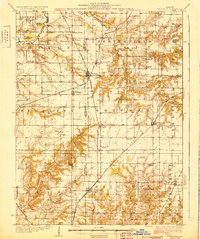
The Chicago and Alton and Chicago Burlington and Quincy railroads form the industrial backbone of this western Illinois landscape, converging at the major junction of Roodhouse. This 1924 survey reveals a dense network of early 20th-century rural infrastructure, where nearly every section of land is served by a localized institution. The map is particularly notable for its high concentration of named country schools, from the curiously titled Swamp College School to the Bending Oak School, illustrating the intensity of small-town and rural settlement during this era.
Find a feature on this map
77 named features on this map. Tap any name to fly to it.
Don’t see what you’re looking for? This feature index may not catch every label — zoom into the map to look around manually.
Map Details
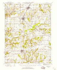
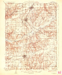
Editions of this 1924 Roodhouse Map
2 editions found
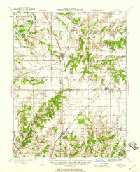
Other maps of this area

1924 · Winchester
USGS Topo · 1:48,000

1924 · Griggsville
USGS Topo · 1:62,500
1925 · Brighton
USGS Topo · 1:62,500

1926 · Griggsville
USGS Topo · 1:62,500

1926 · Winchester
USGS Topo · 1:62,500
1926 · Roodhouse
USGS Topo · 1:62,500
1928 · Brighton
USGS Topo · 1:62,500

1930 · Pearl
USGS Topo · 1:62,500

1930 · Hardin
USGS Topo · 1:62,500

1930 · Jerseyville
USGS Topo · 1:62,500