Old Maps of Marion Township, Illinois for Academic Research
Study the evolution of Marion Township with 27 high-resolution historic maps. Whether you're teaching, researching, or modeling changes in land use, these maps provide essential visual documentation of urban, environmental, and geographic change.
- Analyze long-term change: Track patterns in development, transportation, and natural features.
- Ideal for environmental or urban studies: Support academic projects with primary historical map data.
- Use in the classroom or lab: Educators and researchers rely on these maps to bring historical context to life.
These maps are a powerful tool for teaching, research, and visualizing how Marion Township has changed over the decades.
Marion Township, IL maps
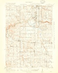
(27)- 1917 Map of Kings, 1969 Print
 1917 Kings1969 Print · USGSNorthern Illinois agriculture and rail lines meet south of Rockford during the early twentieth century. Genealogists can trace rural family roots through dozens of district schools like Black Walnut School and the rail junctions of Davis Junction and Holcomb.
 - 1918 Map of Kings
 1918 Kings1918 Print · USGSThe Rock River valley served as a massive military and rail hub during the First World War. Local historians can trace the early layout of Camp Grant and dozens of country schools like Killbuck School and Maple Corners School.3 unique versions available
 - 1922 Map of Oregon, 1967 Print
 1922 Oregon1967 Print · USGSNorthern Illinois at the start of the twenties reveals a landscape of thriving rail towns and numerous one-room schoolhouses. Genealogists can trace family footprints at Wessels School, Ebenezer Church, and early village sites like Adeline and Egan.
 - 1924 Map of Oregon
 1924 Oregon1924 Print · USGSOgle County's rural landscape is captured here in the early twenties, showing a network of river-valley settlements and busy rail lines. Researchers can trace family history through numerous landmarks like the German Valley PO and station, St Thomas Church, and Mount Morris.3 unique versions available
 - 1954 Map of Rockford
 1954 Rockford1954 Print · USGSThe Rock River valley and the Illinois-Wisconsin borderlands are captured here in the mid-1950s during a period of robust industrial and agricultural activity. Genealogists and historians can trace rail-era corridors like the Illinois Central RR and locate landmarks from Big Foot Prairie to Lake Geneva.
 - 1955 Map of Rockford
 1955 Rockford1955 Print · USGSThe Rock River valley and southern Wisconsin dairy country are shown here in the mid-fifties as the region's manufacturing centers grew. Genealogists and historians can trace the paths of the Chicago and North Western RR and Illinois Central RR through hubs like Rockford and Beloit.
 - 1958 Map of Rockford, 1974 Print
 1958 Rockford1974 Print · USGSNorthern Illinois and southern Wisconsin are shown here in the mid-twentieth century as rail-dependent industrial towns began to interface with growing lakefront communities. Genealogists can trace family roots through settlements like Saylesville and Tess Corners or locate historical landmarks like the Rockford Ordnance Depot.4 unique versions available
 - 1963 Map of Rockford
 1963 Rockford1963 Print · USGSThe mid-century industrial corridor along the Rock River is shown here during a period of rapid post-war growth. Researchers can trace the extensive rail lines of the Chicago and North Western or locate local landmarks like the Rockford Ordnance Depot and Holy Hill.
 - 1971 Map of Stillman Valley, 1973 Print
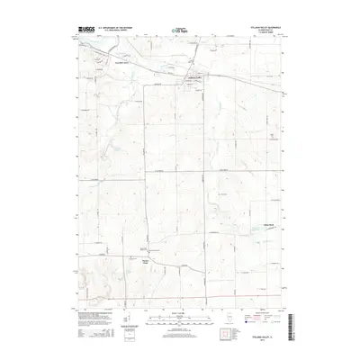
 1971 Stillman Valley1973 Print · USGSNorthern Illinois farmland and rail corridors define the landscape around the early seventies. Genealogists can trace family roots through Beach Cem and Stimponian Cem, or locate old junctions at Stillman Valley and Holcomb.2 unique versions available
 - 1971 Map of Kishwaukee, 1973 Print
 1971 Kishwaukee1973 Print · USGSWinnebago and Ogle Counties are captured here in the early seventies as the river valleys supported both industry and recreation. Genealogists and local historians can locate Winnebago Cemetery, rural schools like Oak Grove, and the Alworth settlement.
 - 1981 Map of Rockford
 1981 Rockford1981 Print · USGSNorthern Illinois during the early eighties shows a landscape shaped by river valleys and a maturing rail network. Genealogists can trace family roots through settlements like Morseville and Buckhorn Corners while exploring the Rock River valley.2 unique versions available
 - 1983 Map of Oregon, 1984 Print
 1983 Oregon1984 Print · USGSOgle County's river valley comes to life in the early eighties as the Rock River winds between the towns of Oregon and Byron. Genealogists and historians can trace local landmarks like St Marys Cem, Lowden State Park, and the Burlington Northern line.
 - 2012 Map of Oregon, 2012 Print
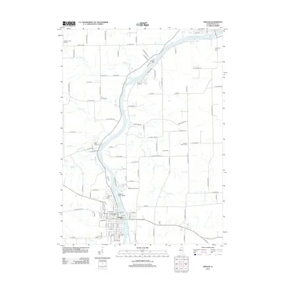 2012 Oregon2012 Print · USGSCovers Marion Township, including Oregon, Byron, and other nearby areas
 - 2012 Map of Stillman Valley, 2012 Print
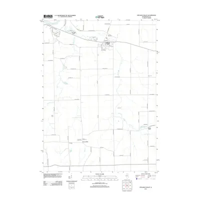 2012 Stillman Valley2012 Print · USGSCovers Marion Township, including Byron, Stillman Valley, and other nearby areas
 - 2012 Map of Kishwaukee, 2012 Print
 2012 Kishwaukee2012 Print · USGSCovers Marion Township, including Rockford, Byron, and other nearby areas
 - 2015 Map of Oregon, 2015 Print
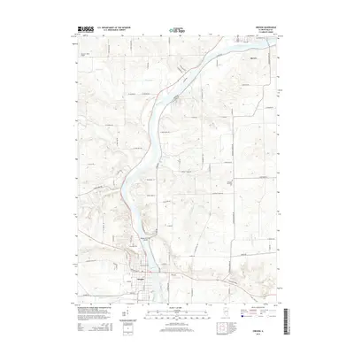 2015 Oregon2015 Print · USGSCovers Marion Township, including Oregon, Byron, and other nearby areas
 - 2015 Map of Stillman Valley, 2015 Print
 2015 Stillman Valley2015 Print · USGSCovers Marion Township, including Byron, Stillman Valley, and other nearby areas
 - 2015 Map of Kishwaukee, 2015 Print
 2015 Kishwaukee2015 Print · USGSCovers Marion Township, including Rockford, Byron, and other nearby areas
 - 2018 Map of Stillman Valley, 2018 Print
 2018 Stillman Valley2018 Print · USGSCovers Marion Township, including Byron, Stillman Valley, and other nearby areas
 - 2018 Map of Oregon, 2018 Print
 2018 Oregon2018 Print · USGSCovers Marion Township, including Oregon, Byron, and other nearby areas
 - 2018 Map of Kishwaukee, 2018 Print
 2018 Kishwaukee2018 Print · USGSCovers Marion Township, including Rockford, Byron, and other nearby areas
 - 2021 Map of Kishwaukee, 2021 Print
 2021 Kishwaukee2021 Print · USGSCovers Marion Township, including Rockford, Byron, and other nearby areas
 - 2021 Map of Oregon, 2021 Print
 2021 Oregon2021 Print · USGSCovers Marion Township, including Oregon, Byron, and other nearby areas
 - 2021 Map of Stillman Valley, 2021 Print
 2021 Stillman Valley2021 Print · USGSCovers Marion Township, including Byron, Stillman Valley, and other nearby areas
 - 2024 Map of Kishwaukee, 2024 Print
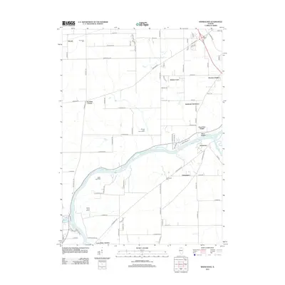
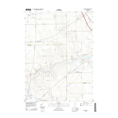
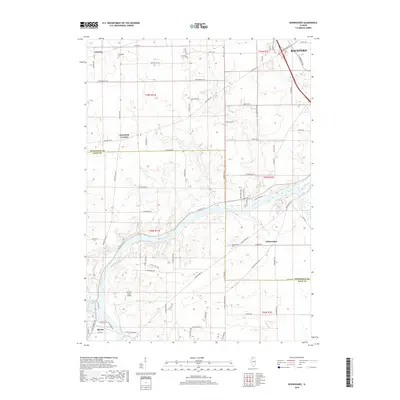
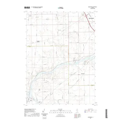
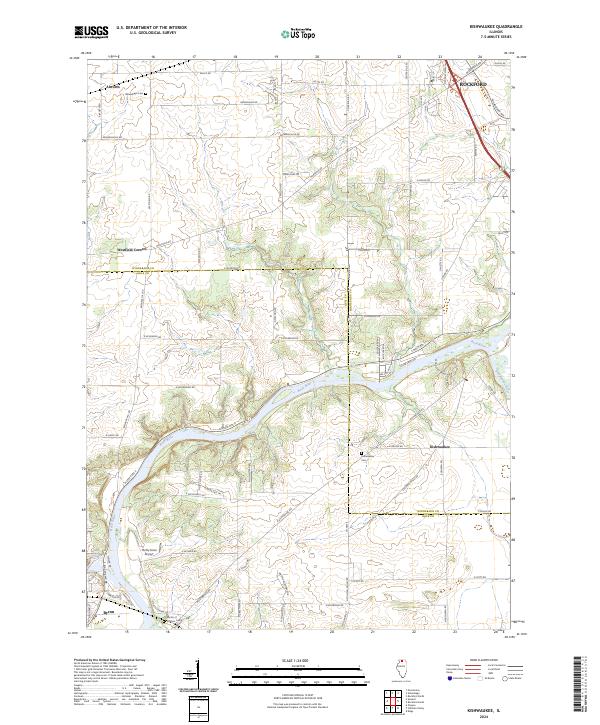 2024 Kishwaukee2024 Print · USGSThe confluence of the Rock River and Kishwaukee River defines this northern Illinois landscape in the early 2020s. Researchers can trace the rural history of the valley through small settlements like Alworth, the Winnebago Cem, and the Thrifty Acres Airport.
Showing maps 1-25 of 27
Top cities near Marion Township
- Rockford historical maps
- Loves Park historical maps
- Machesney Park historical maps
- Dixon historical maps
- Rochelle historical maps
- Oregon historical maps
See more
Top neighborhoods of Marion Township
Frequently asked questions
- What are the different types of historical maps available for Marion Township?
- What is the oldest map of Marion Township?
- Where can I purchase historical maps of Marion Township for my home or office?
- Where can I download high-res historical maps of Marion Township?
- Are there historical topographic maps available for Marion Township?
- Is there historical aerial imagery available for Marion Township?
- Where are historical maps of Marion Township sourced from?