Old Maps of Taylor Township, Illinois for Metal Detecting
Plan your next treasure hunt with 17 historic maps of Taylor Township. Find old homesites, ghost towns, trails, and gathering spots that may be lost to time — perfect for identifying promising metal detecting locations.
- Locate forgotten sites: Uncover places like long-lost settlements, abandoned rail lines, or gathering spots.
- Plan better hunts: Use map overlays combined with LiDAR or satellite views to narrow in on historically rich areas.
- Made for detectorists: Thousands of hobbyists use these maps to discover relics, coins, and hidden history.
Use these historic maps to boost your research and find new opportunities beneath the surface of Taylor Township.
Taylor Township, IL maps
(17)- 1918 Map of Dixon
 1918 Dixon1918 Print · USGSLee and Ogle Counties are captured at a pivotal moment during the First World War when the rural schoolhouse system was at its peak. Genealogists can trace family footprints across townships to landmarks like Grand Detour, Pennsylvania Corners, and the White Temple School.3 unique versions available
 - 1950 Map of Dixon, 1964 Print
 1950 Dixon1964 Print · USGSThe Rock River valley in the mid-twentieth century shows a landscape of busy river towns and dense rural school districts. Genealogists can locate family-named landmarks like Tealls Corners School, Emmert School, and the White Temple church.2 unique versions available
 - 1958 Map of Aurora, 1969 Print
 1958 Aurora1969 Print · USGSNorthern Illinois in the late fifties shows a landscape of powerful river industry and expanding transport corridors. Genealogists and historians can trace the development of Aurora and Joliet or locate sites like the Elwood Ordnance Plant and Starved Rock.3 unique versions available
 - 1961 Map of Aurora
 1961 Aurora1961 Print · USGSNorthern Illinois at the height of the post-war era reveals a landscape of massive industrial works and thriving river towns. Genealogists and historians can trace the paths of the Lincoln Highway or locate long-standing landmarks like the Green River Ordnance Plant and Starved Rock State Park.
 - 1983 Map of Daysville, 1984 Print
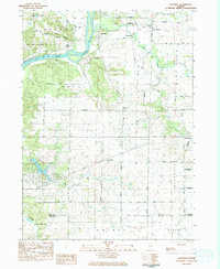 1983 Daysville1984 Print · USGSOgle County's agricultural heartland and the bluffs of the Rock River are captured here in the early 1980s. Genealogists can trace family names and local landmarks through sites like Daysville Cem, Lighthouse Ch, and the settlement of Watertown.
 - 1983 Map of Grand Detour, 1984 Print
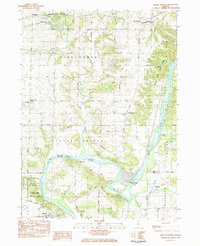 1983 Grand Detour1984 Print · USGSOgle and Lee County are captured in the early eighties as the Rock River winds through the historic horseshoe bend at Grand Detour. Genealogists and local historians can trace rural sites like Kingdom, the Pine Creek Cemetery, and the Townhall north of the river.
 - 1985 Map of Dixon
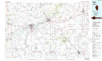 1985 Dixon1985 Print · USGSNorth-central Illinois in the mid-eighties was a land of river cities and expansive prairies defined by rail lines and private airfields. Researchers can locate family landmarks like Oakwood Cem, the Sword Landing Strip, and Sauk Valley College while tracing the C & N W railroad.2 unique versions available
 - 2012 Map of Daysville, 2012 Print
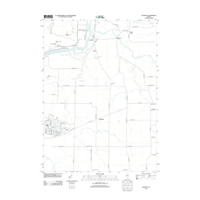 2012 Daysville2012 Print · USGSOgle County's rural character and riverside developments are captured here in the early twenty-first century. Researchers can locate family history at Lighthouse Cem and County Farm Cem or trace the distinct shoreline of Lost Lake at Lost Nation.
 - 2012 Map of Grand Detour, 2012 Print
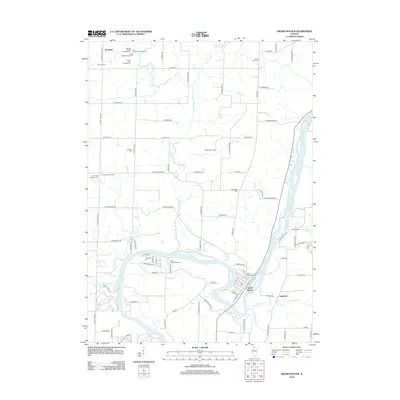 2012 Grand Detour2012 Print · USGSThe oxbow of the Rock River dominates this early twenty-first-century view of the Dixon area and the village of Grand Detour. Genealogists can locate several local burial sites, including Oak Ridge Cem and Kingdom, while tracing the rural road network.
 - 2015 Map of Daysville, 2015 Print
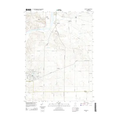 2015 Daysville2015 Print · USGSThe Rock River valley south of Oregon comes into focus during the mid-2010s, showing a blend of historic farmsteads and modern lakefront living. Genealogists can locate several burial grounds, including the County Farm Cemetery and Lighthouse Cemetery, alongside rural settlements like Daysville.
 - 2015 Map of Grand Detour, 2015 Print
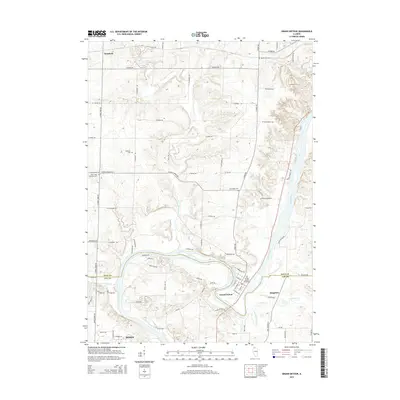 2015 Grand Detour2015 Print · USGSThe oxbow of the Rock River defines this river valley landscape south of Stratford in the mid-2010s. Genealogists can locate several local burial sites including Grand Detour Cemetary, Oak Ridge Cem, and Mount Zion Cem.
 - 2018 Map of Grand Detour, 2018 Print
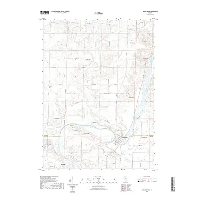 2018 Grand Detour2018 Print · USGSThe oxbow of the Rock River defines this portion of Lee and Ogle Counties as it appeared in the late 2010s. Local researchers can trace riverfront landmarks like Dutch Lndg or explore the history of small settlements such as Grand Detour and Kingdom.
 - 2018 Map of Daysville, 2018 Print
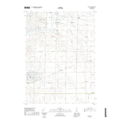 2018 Daysville2018 Print · USGSThe Ogle County river valley and its surrounding townships are shown here in the late twenty-teens as the landscape balances rural heritage with modern residential growth. Trace family history at Daysville Cem and Washington Grove Cem or follow the waters of the Rock River.
 - 2021 Map of Grand Detour, 2021 Print
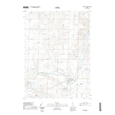 2021 Grand Detour2021 Print · USGSThe sweeping bend of the Rock River defines the landscape of this river valley at the start of the 2020s. Researchers can trace family history through sites like Grand Detour Cem, Kingdom, and the northern edges of Dixon.
 - 2021 Map of Daysville, 2021 Print
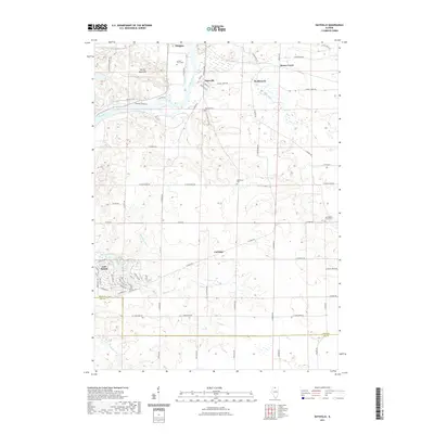 2021 Daysville2021 Print · USGSThe Ogle County countryside near Oregon is documented here in the early 2020s, centered on the Rock River valley. Researchers can trace local heritage through sites like Lost Nation, County Farm Cem, and the historic crossroads at Daysville.
 - 2024 Map of Daysville, 2024 Print
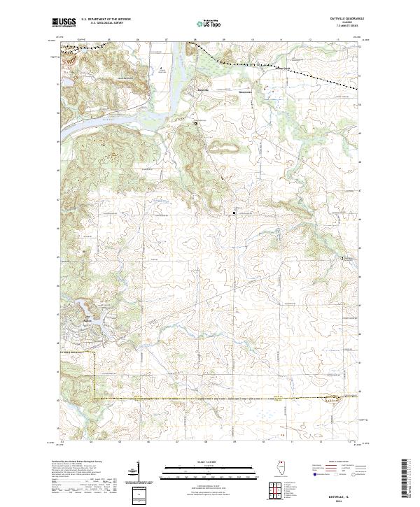 2024 Daysville2024 Print · USGSOgle County's river valleys and rural settlements are preserved here in the early 21st century. Researchers can trace family history through sites like Daysville Cem or locate the distinctive Devils Backbone ridge along the Rock River.
 - 2024 Map of Grand Detour, 2024 Print
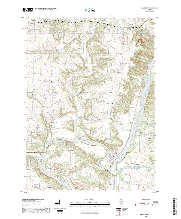 2024 Grand Detour2024 Print · USGSThe Grand Detour area at the Ogle and Lee county line shows a classic river-bend landscape in the 2020s. Researchers can trace local history through sites like Grand Detour Cem, the community of Kingdom, and the unique terrain of Lost Nation.
End of results
Showing maps 1-17 of 17
Top cities near Taylor Township
- Dixon historical maps
- Rochelle historical maps
- Oregon historical maps
- Byron historical maps
- Mount Morris historical maps
- Amboy historical maps
See more
Top neighborhoods of Taylor Township
Frequently asked questions
- What are the different types of historical maps available for Taylor Township?
- What is the oldest map of Taylor Township?
- Where can I purchase historical maps of Taylor Township for my home or office?
- Where can I download high-res historical maps of Taylor Township?
- Are there historical topographic maps available for Taylor Township?
- Is there historical aerial imagery available for Taylor Township?
- Where are historical maps of Taylor Township sourced from?