2000s (21st Century) Maps of Woosung Township, Illinois
Explore 10 historic maps of Woosung Township from the 2000s (21st Century). These maps offer a rare glimpse into what life looked like during the 2000s — showing old roads, neighborhoods, homes, and landmarks that have changed or disappeared over time.
Whether you're researching your family's past, planning a metal detecting trip, or studying how Woosung Township's landscape evolved across the 2000s, these high-resolution maps are a powerful tool for exploring the history of this region.
- Focus on a specific era: All maps on this page are from the 2000s, giving you a focused view of this time period.
- See what’s changed: Compare century-old streets, trails, and buildings to today's modern landscape using overlays and satellite layers.
- Research with precision: Use these maps for genealogy, historical research, land use analysis, or educational projects.
- View, download, or print: Maps are fully viewable online in high resolution, and can be downloaded or printed for your own records.
Start exploring Woosung Township's history through authentic maps from the 2000s. This is your window into the past.
Woosung Township, IL maps
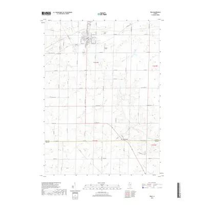
(10)- 2012 Map of Hazelhurst, 2012 Print
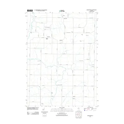 2012 Hazelhurst2012 Print · USGSCovers Woosung Township, including Eagle Point, South Elkhorn, and other nearby areas
 - 2012 Map of Polo, 2012 Print
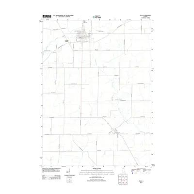 2012 Polo2012 Print · USGSCovers Woosung Township, including Polo, Woosung, and other nearby areas
 - 2015 Map of Hazelhurst, 2015 Print
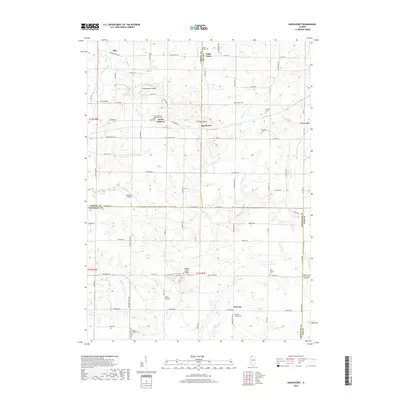
 2015 Hazelhurst2015 Print · USGSCovers Woosung Township, including Eagle Point, South Elkhorn, and other nearby areas
 - 2015 Map of Polo, 2015 Print
 2015 Polo2015 Print · USGSCovers Woosung Township, including Polo, Woosung, and other nearby areas
 - 2018 Map of Polo, 2018 Print
 2018 Polo2018 Print · USGSCovers Woosung Township, including Polo, Woosung, and other nearby areas
 - 2018 Map of Hazelhurst, 2018 Print
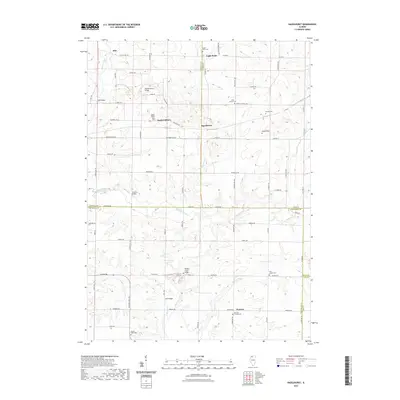
 2018 Hazelhurst2018 Print · USGSCovers Woosung Township, including Eagle Point, South Elkhorn, and other nearby areas
 - 2021 Map of Polo, 2021 Print
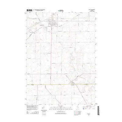
 2021 Polo2021 Print · USGSCovers Woosung Township, including Polo, Woosung, and other nearby areas
 - 2021 Map of Hazelhurst, 2021 Print
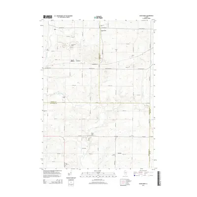
 2021 Hazelhurst2021 Print · USGSCovers Woosung Township, including Eagle Point, South Elkhorn, and other nearby areas
 - 2024 Map of Polo, 2024 Print
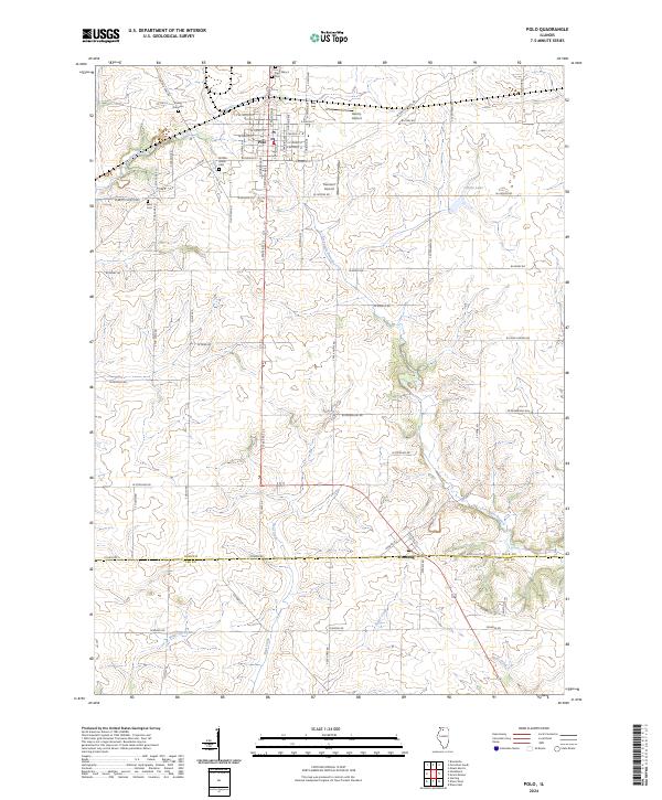 2024 Polo2024 Print · USGSThe northern Illinois prairie comes into focus in this contemporary survey of Ogle and Lee counties. Genealogists can locate family landmarks like the Buffalo Grove Cem and Durley Gravesite or trace the early paths of Galena Trail Rd.
 - 2024 Map of Hazelhurst, 2024 Print
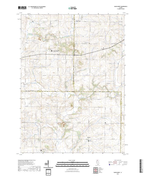 2024 Hazelhurst2024 Print · USGSThe rural borders of Carroll, Ogle, and Whiteside counties come together in this contemporary study of north-central Illinois. Genealogists can locate several historic burial sites like Brick Church Cem and Penrose Friends Cem alongside the crossroads at Hazelhurst.
End of results
Showing maps 1-10 of 10
Top cities near Woosung Township
- Dixon historical maps
- Sterling historical maps
- Rock Falls historical maps
- Oregon historical maps
- Mount Morris historical maps
- Palmyra historical maps
See more
Top neighborhoods of Woosung Township
Frequently asked questions
- What are the different types of historical maps available for Woosung Township?
- What is the oldest map of Woosung Township?
- Where can I purchase historical maps of Woosung Township for my home or office?
- Where can I download high-res historical maps of Woosung Township?
- Are there historical topographic maps available for Woosung Township?
- Is there historical aerial imagery available for Woosung Township?
- Where are historical maps of Woosung Township sourced from?