Old Maps of Pinckneyville, Illinois for Hiking & Exploration
Hike through history with 17 historic maps of Pinckneyville. Explore old trails, ghost towns, and forgotten backroads — perfect for outdoor adventurers and local explorers.
- Rediscover forgotten places: Map out old mining camps, roads, and footpaths that no longer exist on modern maps.
- Layer with modern tools: Combine with LiDAR or satellite views to plan hikes through historical terrain.
- Made for exploration: Popular among hikers, overlanders, and local history lovers.
Use these maps to find adventure and explore the hidden past of Pinckneyville.
Pinckneyville, IL maps
(17)- 1924 Map of Pinckneyville, 1958 Print
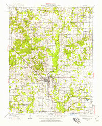 1924 Pinckneyville1958 Print · USGSPerry County at the height of its rail and coal era is captured here, centered on the bustling junction of Pinckneyville. Genealogists can locate dozens of country schools like St Marys School and Slade School, or trace family mines such as Panther Mine.2 unique versions available
 - 1926 Map of Pinckneyville
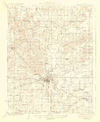 1926 Pinckneyville1926 Print · USGSPerry County at the height of the mid-twenties coal era shows a bustling landscape of rail-connected towns and rural school districts. Genealogists and historians can trace family locations near Pinckneyville at Carr School, Oak Grove Church, and the Victory Coal Mine.2 unique versions available
 - 1958 Map of Belleville, 1973 Print
 1958 Belleville1973 Print · USGSSouthern Illinois during the mid-twentieth century reveals a landscape of industrial growth and massive new reservoirs. Genealogists and historians can trace the paths of the Illinois Central RR through towns like Centralia or locate landmarks such as Emerald Mound and the Looking Glass Prairie.3 unique versions available
 - 1962 Map of Belleville
 1962 Belleville1962 Print · USGSSouthern Illinois in the late fifties reveals a landscape of industrial growth and ancient landmarks before the full expansion of the interstate system. Genealogists can trace family names and rural post offices near Centralia, Salem, and the historic Monks Mound.
 - 1974 Map of Pinckneyville, 1978 Print
 1974 Pinckneyville1978 Print · USGSPinckneyville and the surrounding Perry County coalfields are captured here in the mid-seventies, showing a landscape shaped by rail and industry. Genealogists can trace family names at Mueller Hill Cemetery or visit rural centers like St Bruno School and Layfield.2 unique versions available
 - 1974 Map of Pyatts, 1978 Print
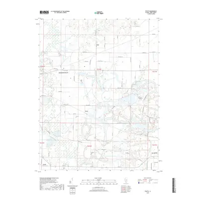
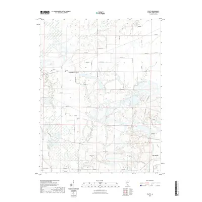
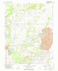 1974 Pyatts1978 Print · USGSPerry County's mining and rail corridors are captured in the mid-1970s as surface extraction reshaped the landscape around Pinckneyville. Genealogists and local historians can locate community sites such as Cudgetown, School No 204, and the Sacred Heart Cem.2 unique versions available
 - 1985 Map of Pinckneyville
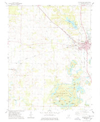
 1985 Pinckneyville1985 Print · USGSSouthern Illinois in the mid-eighties shows a landscape of prairie farms, coal extraction, and vital rail corridors. Researchers can trace the rail-side growth of Venedy Station and New Memphis Station or locate landmarks like St Libory Church and Memorial Gardens Cem.2 unique versions available
 - 2012 Map of Pinckneyville, 2012 Print
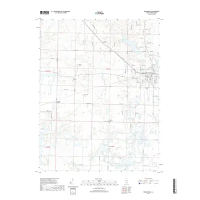
 2012 Pinckneyville2012 Print · USGSCovers Pinckneyville, including Conant, Layfield, and other nearby areas
 - 2012 Map of Pyatts, 2012 Print
 2012 Pyatts2012 Print · USGSCovers Pinckneyville, including Du Quoin, Pyatts, and other nearby areas
 - 2015 Map of Pinckneyville, 2015 Print
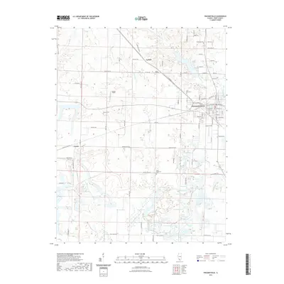
 2015 Pinckneyville2015 Print · USGSCovers Pinckneyville, including Conant, Layfield, and other nearby areas
 - 2015 Map of Pyatts, 2015 Print
 2015 Pyatts2015 Print · USGSCovers Pinckneyville, including Du Quoin, Pyatts, and other nearby areas
 - 2018 Map of Pyatts, 2018 Print
 2018 Pyatts2018 Print · USGSCovers Pinckneyville, including Du Quoin, Pyatts, and other nearby areas
 - 2018 Map of Pinckneyville, 2018 Print
 2018 Pinckneyville2018 Print · USGSCovers Pinckneyville, including Conant, Layfield, and other nearby areas
 - 2021 Map of Pinckneyville, 2021 Print
 2021 Pinckneyville2021 Print · USGSCovers Pinckneyville, including Conant, Layfield, and other nearby areas
 - 2021 Map of Pyatts, 2021 Print
 2021 Pyatts2021 Print · USGSCovers Pinckneyville, including Du Quoin, Pyatts, and other nearby areas
 - 2024 Map of Pinckneyville, 2024 Print
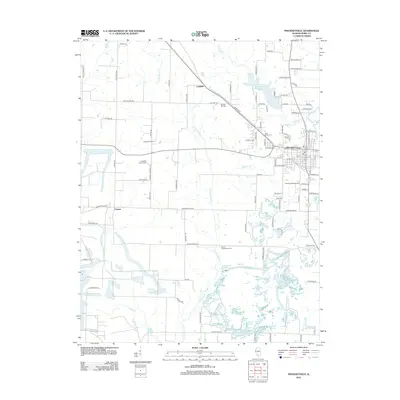
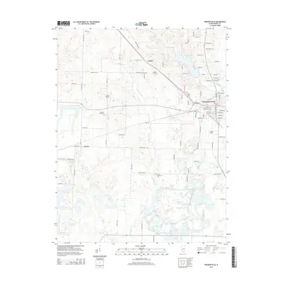
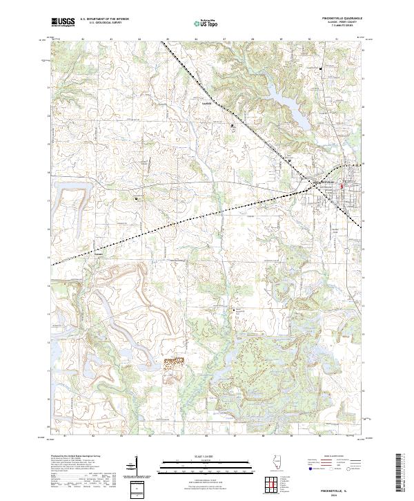 2024 Pinckneyville2024 Print · USGSPinckneyville and the surrounding Perry County landscape are documented here in the early 2020s, showing a mix of civic centers and rural water systems. Researchers can locate family sites like Saint Bruno Cem or trace the geography of Plum Lake and Beaucoup Creek.
 - 2024 Map of Pyatts, 2024 Print
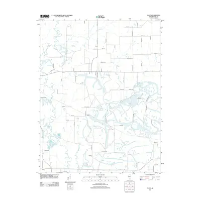
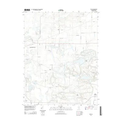
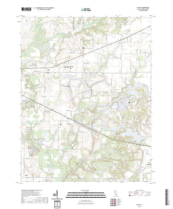 2024 Pyatts2024 Print · USGSPerry County's rural landscape is captured here in the contemporary era, showing the enduring layout of prairie settlements and stream networks. Researchers can trace family history through numerous local sites like Holts Prairie Cem, Dry Cem, and Cudgetown Cem.
End of results
Showing maps 1-17 of 17
Top cities near Pinckneyville
- Du Quoin historical maps
- Elkville historical maps
- Tamaroa historical maps
- Willisville historical maps
- Ava historical maps
- Cutler historical maps
See more
Frequently asked questions
- What are the different types of historical maps available for Pinckneyville?
- What is the oldest map of Pinckneyville?
- Where can I purchase historical maps of Pinckneyville for my home or office?
- Where can I download high-res historical maps of Pinckneyville?
- Are there historical topographic maps available for Pinckneyville?
- Is there historical aerial imagery available for Pinckneyville?
- Where are historical maps of Pinckneyville sourced from?