2000s (21st Century) Maps of Port Barrington, Illinois
Explore 11 historic maps of Port Barrington from the 2000s (21st Century). These maps offer a rare glimpse into what life looked like during the 2000s — showing old roads, neighborhoods, homes, and landmarks that have changed or disappeared over time.
Whether you're researching your family's past, planning a metal detecting trip, or studying how Port Barrington's landscape evolved across the 2000s, these high-resolution maps are a powerful tool for exploring the history of this region.
- Focus on a specific era: All maps on this page are from the 2000s, giving you a focused view of this time period.
- See what’s changed: Compare century-old streets, trails, and buildings to today's modern landscape using overlays and satellite layers.
- Research with precision: Use these maps for genealogy, historical research, land use analysis, or educational projects.
- View, download, or print: Maps are fully viewable online in high resolution, and can be downloaded or printed for your own records.
Start exploring Port Barrington's history through authentic maps from the 2000s. This is your window into the past.
Port Barrington, IL maps
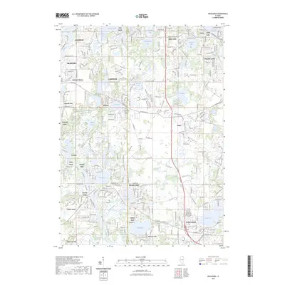
(11)- 2012 Map of Barrington, 2012 Print
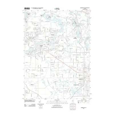 2012 Barrington2012 Print · USGSCovers Port Barrington, including Carpentersville, Cary, and other nearby areas
 - 2012 Map of Wauconda, 2012 Print
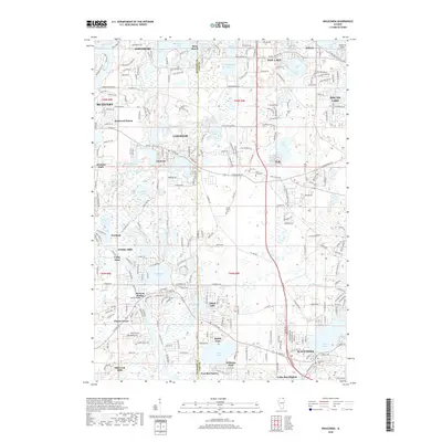
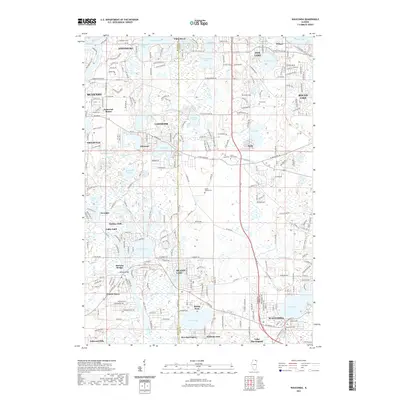
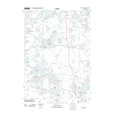 2012 Wauconda2012 Print · USGSCovers Port Barrington, including McHenry, Round Lake, and other nearby areas
 - 2015 Map of Wauconda, 2015 Print
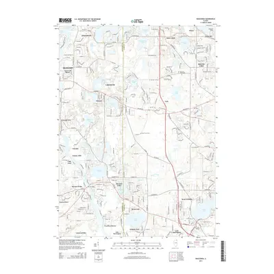 2015 Wauconda2015 Print · USGSCovers Port Barrington, including McHenry, Round Lake, and other nearby areas
 - 2015 Map of Barrington, 2015 Print
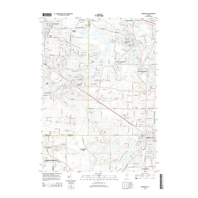 2015 Barrington2015 Print · USGSCovers Port Barrington, including Carpentersville, Cary, and other nearby areas
 - 2018 Map of Wauconda, 2018 Print
 2018 Wauconda2018 Print · USGSCovers Port Barrington, including McHenry, Round Lake, and other nearby areas
 - 2018 Map of Barrington, 2018 Print
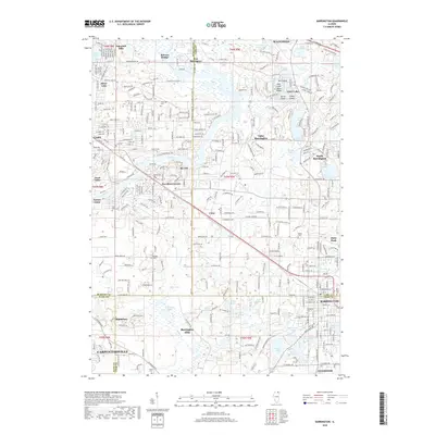 2018 Barrington2018 Print · USGSCovers Port Barrington, including Carpentersville, Cary, and other nearby areas
 - 2021 Map of Wauconda, 2021 Print
 2021 Wauconda2021 Print · USGSCovers Port Barrington, including McHenry, Round Lake, and other nearby areas
 - 2021 Map of Barrington, 2021 Print
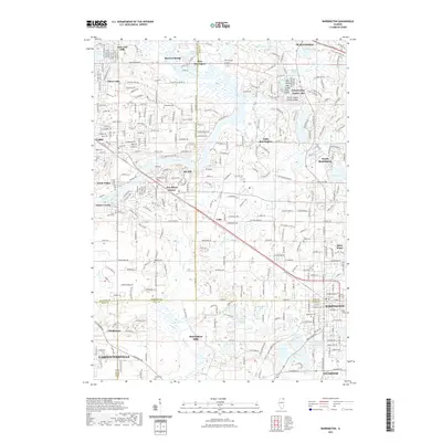 2021 Barrington2021 Print · USGSCovers Port Barrington, including Carpentersville, Cary, and other nearby areas
 - 2023 Map of Wauconda, 2023 Print
 2023 Wauconda2023 Print · USGSCovers Port Barrington, including McHenry, Round Lake, and other nearby areas
 - 2024 Map of Wauconda, 2024 Print
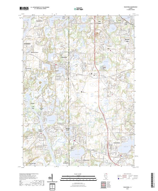 2024 Wauconda2024 Print · USGSThe lake districts of Lake and McHenry Counties come into focus in this contemporary study of Wauconda and its surrounding wetlands. Researchers can trace the boundaries of established settlements like Volo and find local burial sites including Grant Cem and Fisher Family Cem.
 - 2024 Map of Barrington, 2024 Print
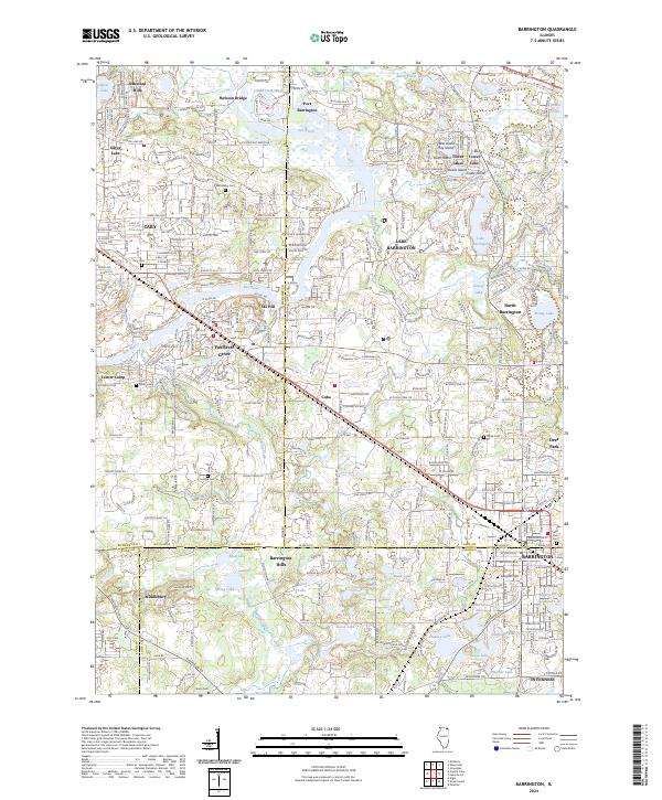 2024 Barrington2024 Print · USGSThe Fox River corridor comes into sharp focus during the early 2020s, showcasing the intersection of three major Illinois counties. Researchers can trace local heritage through numerous burial grounds like Windridge Cem or explore the transit-oriented development around Barrington and Cary.
End of results
Showing maps 1-11 of 11
Top cities near Port Barrington
- Elgin historical maps
- Schaumburg historical maps
- Arlington Heights historical maps
- Palatine historical maps
- Mount Prospect historical maps
- Hoffman Estates historical maps
See more
Frequently asked questions
- What are the different types of historical maps available for Port Barrington?
- What is the oldest map of Port Barrington?
- Where can I purchase historical maps of Port Barrington for my home or office?
- Where can I download high-res historical maps of Port Barrington?
- Are there historical topographic maps available for Port Barrington?
- Is there historical aerial imagery available for Port Barrington?
- Where are historical maps of Port Barrington sourced from?