Old Maps of Steeleville, Illinois for Genealogy
Trace your family roots with 27 historic maps of Steeleville. These high-res maps reveal old neighborhoods, homesites, landmarks, and streets — helping you uncover where your ancestors lived and how the area evolved over time.
- Explore historic neighborhoods: Identify where your relatives may have lived in the 1800s or 1900s.
- Compare maps over time: Trace the changes in streets, buildings, and landmarks for multi-generational research.
- Perfect for genealogy & ancestry research: Used by family historians and researchers to map out lineage and migration.
These maps are an incredible resource for exploring your personal connection to Steeleville's past.
Steeleville, IL maps
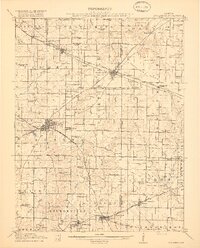
(27)- 1914 Map of Coulterville, 1965 Print
 1914 Coulterville1965 Print · USGSSouthern Illinois during the height of the steam era reveals a landscape of thriving rail hubs and rural school districts. Genealogists and local historians can trace the foundations of Sparta, Coulterville, and Steeleville alongside dozens of named country schools like Brick School and Temple School.
 - 1916 Map of Campbell Hill, 1953 Print
 1916 Campbell Hill1953 Print · USGSThe Mississippi River borderlands in the early twentieth century are captured here during a peak era of rail-and-river commerce. Genealogists can trace family names through dozens of rural schools like Oak School and settlements like Shiloh Hill or Wine Hill.3 unique versions available
 - 1917 Map of Coulterville
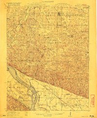
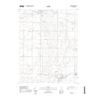
 1917 Coulterville1917 Print · USGSSouthern Illinois during the early twentieth century was defined by its coal-belt junctions and a dense grid of rural schoolhouses. Genealogists and historians can trace family locations near landmarks like Lost Prairie School, the Illinois Central rail lines, and the growing town of Sparta.3 unique versions available
 - 1918 Map of Campbell Hill
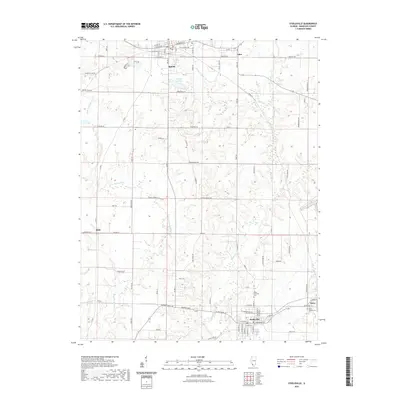
 1918 Campbell Hill1918 Print · USGSThe Illinois-Missouri borderlands near Campbell Hill are shown here during the late First World War era, where rail lines and river landings drove the local economy. Genealogists can trace family footprints across numerous rural school districts like Ebenezer School, Tangen School, and settlements such as Shiloh Hill.3 unique versions available
 - 1949 Map of Paducah
 1949 Paducah1949 Print · USGSThe confluence of the Ohio, Mississippi, Tennessee, and Cumberland rivers at the close of the 1940s reveals a region bound by water and rail. Researchers can trace historic river landings, timberlands in the Shawnee National Forest, and the coal-mining infrastructure around West Frankfort and Herrin.2 unique versions available
 - 1950 Map of Paducah
 1950 Paducah1950 Print · USGSThe confluence of the great midwestern rivers defines this mid-century landscape at the intersection of Illinois, Kentucky, and Missouri. Genealogists and historians can trace the rail-and-river economy through the hubs of Paducah, Cairo, and Metropolis or locate family roots near the Wildcat Hills.
 - 1954 Map of Paducah
 1954 Paducah1954 Print · USGSSouthern Illinois and Western Kentucky intersect at the great river confluences during this mid-century era of rail and river industry. Genealogists and historians can trace family roots and commerce through river towns like Cairo, Metropolis, and Golconda, or along the tracks of the Illinois Central Railroad.2 unique versions available
 - 1958 Map of Belleville, 1973 Print
 1958 Belleville1973 Print · USGSSouthern Illinois during the mid-twentieth century reveals a landscape of industrial growth and massive new reservoirs. Genealogists and historians can trace the paths of the Illinois Central RR through towns like Centralia or locate landmarks such as Emerald Mound and the Looking Glass Prairie.3 unique versions available
 - 1961 Map of Paducah
 1961 Paducah1961 Print · USGSThe Lower Ohio Valley at mid-century is a landscape defined by its great rivers and newly formed reservoirs. Researchers can trace the riverfronts of Paducah and Metropolis, or locate smaller settlements like Old Shawneetown and Cave in Rock along the banks.2 unique versions available
 - 1962 Map of Belleville
 1962 Belleville1962 Print · USGSSouthern Illinois in the late fifties reveals a landscape of industrial growth and ancient landmarks before the full expansion of the interstate system. Genealogists can trace family names and rural post offices near Centralia, Salem, and the historic Monks Mound.
 - 1964 Map of Paducah
 1964 Paducah1964 Print · USGSThe river-and-rail corridor of Southern Illinois and Western Kentucky is captured here during the height of the mid-century industrial era. Genealogists and researchers can trace local landmarks across several counties, from the rail yards of Paducah to the waters of Crab Orchard Lake and Kentucky Reservoir.2 unique versions available
 - 1965 Map of Steeleville, 1966 Print
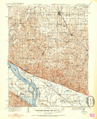
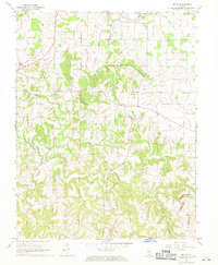
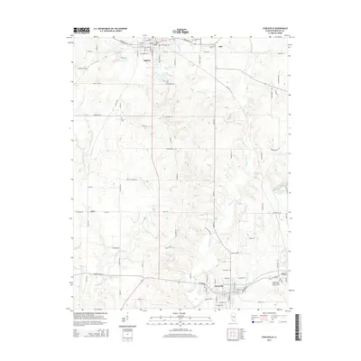
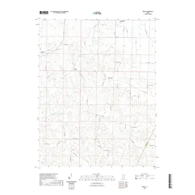
 1965 Steeleville1966 Print · USGSRandolph County's coal and rail corridors are frozen in time during the mid-sixties, from the streets of Sparta to the mills of Steeleville. Researchers can trace old family sites at Union Ch and Peace Cem or locate industrial landmarks like the local STRIP MINE.2 unique versions available
 - 1968 Map of Welge, 1970 Print
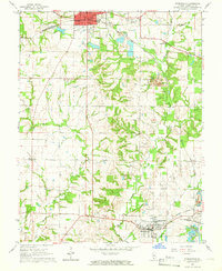
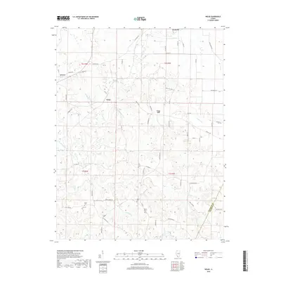
 1968 Welge1970 Print · USGSIn the late sixties, the rural communities of southern Illinois remained centered around family farms and country churches. Genealogists can trace local history through numerous landmarks like Paradise Cem, St Johns Ch, and the settlement of Welge.
 - 1984 Map of Carbondale, 1985 Print
 1984 Carbondale1985 Print · USGSSouthern Illinois in the mid-1980s was a crossroads of major rail lines and vast conservation lands centered on Carbondale. Local researchers can trace the development of Southern Illinois University, the Menard Correctional Center, and the many shorelines of Crab Orchard Lake.
 - 1985 Map of Pinckneyville
 1985 Pinckneyville1985 Print · USGSSouthern Illinois in the mid-eighties shows a landscape of prairie farms, coal extraction, and vital rail corridors. Researchers can trace the rail-side growth of Venedy Station and New Memphis Station or locate landmarks like St Libory Church and Memorial Gardens Cem.2 unique versions available
 - 1986 Map of Carbondale
 1986 Carbondale1986 Print · USGSSouthern Illinois and the Mississippi River valley are captured in the mid-eighties as a landscape of diverse water systems and conservation lands. Researchers can trace the development of Southern Illinois University or locate landmarks like Fort Gage and St Marys Seminary.
 - 1987 Map of Paducah, 1988 Print
 1987 Paducah1988 Print · USGSThe Lower Ohio Valley and the Illinois Ozarks come alive in this late twentieth-century regional survey. Genealogists and local historians can trace river-town roots and state park landmarks from Metropolis to Cape Girardeau and Trail of Tears State Park.
 - 2012 Map of Welge, 2012 Print
 2012 Welge2012 Print · USGSCovers Steeleville, including Wine Hill, Welge, and other nearby areas
 - 2012 Map of Steeleville, 2012 Print
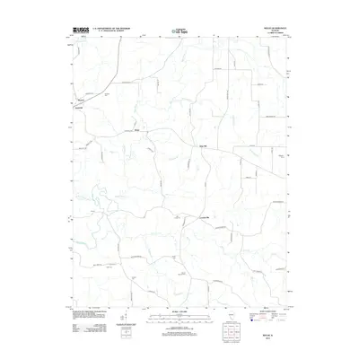
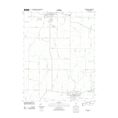 2012 Steeleville2012 Print · USGSCovers Steeleville, including Sparta, Percy, and other nearby areas
 - 2015 Map of Welge, 2015 Print
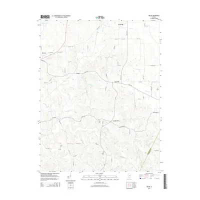 2015 Welge2015 Print · USGSCovers Steeleville, including Wine Hill, Welge, and other nearby areas
 - 2015 Map of Steeleville, 2015 Print
 2015 Steeleville2015 Print · USGSCovers Steeleville, including Sparta, Percy, and other nearby areas
 - 2018 Map of Steeleville, 2018 Print
 2018 Steeleville2018 Print · USGSCovers Steeleville, including Sparta, Percy, and other nearby areas
 - 2018 Map of Welge, 2018 Print
 2018 Welge2018 Print · USGSCovers Steeleville, including Wine Hill, Welge, and other nearby areas
 - 2021 Map of Steeleville, 2021 Print
 2021 Steeleville2021 Print · USGSCovers Steeleville, including Sparta, Percy, and other nearby areas
 - 2021 Map of Welge, 2021 Print
 2021 Welge2021 Print · USGSCovers Steeleville, including Wine Hill, Welge, and other nearby areas
Showing maps 1-25 of 27
Top cities near Steeleville
- Chester historical maps
- Sparta historical maps
- Coulterville historical maps
- Percy historical maps
- Tilden historical maps
- Willisville historical maps
See more
Frequently asked questions
- What are the different types of historical maps available for Steeleville?
- What is the oldest map of Steeleville?
- Where can I purchase historical maps of Steeleville for my home or office?
- Where can I download high-res historical maps of Steeleville?
- Are there historical topographic maps available for Steeleville?
- Is there historical aerial imagery available for Steeleville?
- Where are historical maps of Steeleville sourced from?