1900s (20th Century) Maps of Horseshoe, Illinois
Explore 12 historic maps of Horseshoe from the 1900s (20th Century). These maps offer a rare glimpse into what life looked like during the 1900s — showing old roads, neighborhoods, homes, and landmarks that have changed or disappeared over time.
Whether you're researching your family's past, planning a metal detecting trip, or studying how Horseshoe's landscape evolved across the 1900s, these high-resolution maps are a powerful tool for exploring the history of this region.
- Focus on a specific era: All maps on this page are from the 1900s, giving you a focused view of this time period.
- See what’s changed: Compare century-old streets, trails, and buildings to today's modern landscape using overlays and satellite layers.
- Research with precision: Use these maps for genealogy, historical research, land use analysis, or educational projects.
- View, download, or print: Maps are fully viewable online in high resolution, and can be downloaded or printed for your own records.
Start exploring Horseshoe's history through authentic maps from the 1900s. This is your window into the past.
Horseshoe, IL maps
(12)- 1916 Map of Equality
 1916 Equality1916 Print · USGSSouthern Illinois before the First World War shows a landscape defined by the Saline River and industrial outposts. Genealogists and historians can trace family locations near Loves Store, explore the site of the Illinois Furnace, or locate vanished schoolhouses like Pisgah School.4 unique versions available
 - 1949 Map of Paducah
 1949 Paducah1949 Print · USGSThe confluence of the Ohio, Mississippi, Tennessee, and Cumberland rivers at the close of the 1940s reveals a region bound by water and rail. Researchers can trace historic river landings, timberlands in the Shawnee National Forest, and the coal-mining infrastructure around West Frankfort and Herrin.2 unique versions available
 - 1950 Map of Paducah
 1950 Paducah1950 Print · USGSThe confluence of the great midwestern rivers defines this mid-century landscape at the intersection of Illinois, Kentucky, and Missouri. Genealogists and historians can trace the rail-and-river economy through the hubs of Paducah, Cairo, and Metropolis or locate family roots near the Wildcat Hills.
 - 1954 Map of Paducah
 1954 Paducah1954 Print · USGSSouthern Illinois and Western Kentucky intersect at the great river confluences during this mid-century era of rail and river industry. Genealogists and historians can trace family roots and commerce through river towns like Cairo, Metropolis, and Golconda, or along the tracks of the Illinois Central Railroad.2 unique versions available
 - 1959 Map of Equality, 1960 Print
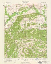 1959 Equality1960 Print · USGSSouthern Illinois during the late fifties reveals a landscape of transition between the industrial river valleys and the wooded heights of the Shawnee National Forest. Researchers can locate deep-rooted community sites like Equality, the Salt Wells, and remote locations such as One Horse Gap.2 unique versions available
 - 1959 Map of Rudement, 1960 Print
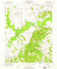 1959 Rudement1960 Print · USGSSaline County’s coal-mining and agricultural landscape is captured here in the late fifties as the Shawnee National Forest meets the industrial Strip Mines. Researchers can locate family landmarks including Big Saline Ch, Rocky Branch Sch, and the Coffee Cem near Rudement.3 unique versions available
 - 1961 Map of Paducah
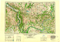 1961 Paducah1961 Print · USGSThe Lower Ohio Valley at mid-century is a landscape defined by its great rivers and newly formed reservoirs. Researchers can trace the riverfronts of Paducah and Metropolis, or locate smaller settlements like Old Shawneetown and Cave in Rock along the banks.2 unique versions available
 - 1964 Map of Paducah
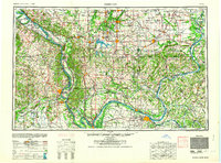 1964 Paducah1964 Print · USGSThe river-and-rail corridor of Southern Illinois and Western Kentucky is captured here during the height of the mid-century industrial era. Genealogists and researchers can trace local landmarks across several counties, from the rail yards of Paducah to the waters of Crab Orchard Lake and Kentucky Reservoir.2 unique versions available
 - 1984 Map of West Frankfort, 1985 Print
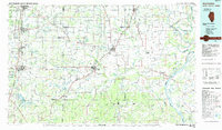 1984 West Frankfort1985 Print · USGSSouthern Illinois at the peak of late-century coal and oil production reveals a complex landscape of industry and conservation. Genealogists and historians can trace rail-served mining hubs like Orient No. 3 Mine and the historic riverfront at Old Shawneetown.
 - 1987 Map of West Frankfort
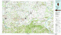 1987 West Frankfort1987 Print · USGSSouthern Illinois in the late eighties shows a landscape defined by the coal and river economies. Researchers can trace the extensive Strip Mine works and historic settlements like Shawneetown and Carriers Mills along the Illinois Central Railroad.
 - 1987 Map of Paducah, 1988 Print
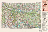 1987 Paducah1988 Print · USGSThe Lower Ohio Valley and the Illinois Ozarks come alive in this late twentieth-century regional survey. Genealogists and local historians can trace river-town roots and state park landmarks from Metropolis to Cape Girardeau and Trail of Tears State Park.
 - 1996 Map of Rudement, 1998 Print
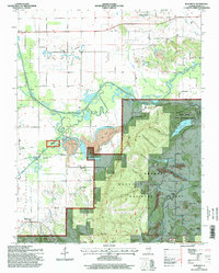 1996 Rudement1998 Print · USGSSouthern Illinois at the edge of the Shawnee Hills is shown here as a landscape of timbered hollows and active coal mining in the mid-1990s. Researchers can trace family history at sites like Blockhouse Cemetery or locate landmarks such as Stone Face and the Colbert School.
End of results
Showing maps 1-12 of 12
Top cities near Horseshoe
- Harrisburg historical maps
- Eldorado historical maps
- Shawneetown historical maps
- Ridgway historical maps
- Galatia historical maps
- Equality historical maps
See more
Frequently asked questions
- What are the different types of historical maps available for Horseshoe?
- What is the oldest map of Horseshoe?
- Where can I purchase historical maps of Horseshoe for my home or office?
- Where can I download high-res historical maps of Horseshoe?
- Are there historical topographic maps available for Horseshoe?
- Is there historical aerial imagery available for Horseshoe?
- Where are historical maps of Horseshoe sourced from?