Old Maps of Irwins Park, Illinois
Explore 12 old maps of Irwins Park, spanning from 1922 to today. These high-resolution historic maps reveal how streets, neighborhoods, landmarks, and natural features evolved over time — perfect for genealogy, metal detecting, research, and local history exploration.
What you can do with these maps:
- See how Irwins Park changed over time: Compare historical maps to modern-day views to trace roads, homesites, rail lines & more.
- View detailed metadata: Each map includes creators, publishers, year, scale, and archive source.
- Overlay maps with satellite & LiDAR: Visualize the past alongside modern tools to explore terrain & human change.
- Trusted historical sources: Maps sourced from the USGS, Library of Congress, and other archives.
- Access maps your way: View online, download high-res files, or order prints for personal or research use.
Start exploring old maps of Irwins Park to uncover forgotten places, hidden landmarks, and the deep history beneath your feet.
Irwins Park, IL maps
(12)- 1922 Map of Divernon, 1957 Print
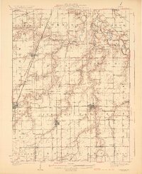
 1922 Divernon1957 Print · USGSThe Sangamon County prairie in the early twenties was a landscape of bustling rail towns and one-room schoolhouses. Genealogists can trace family roots through dozens of local landmarks like Cotton Hill Academy, Stout Church, and the Illinois Traction System.
 - 1924 Map of Divernon
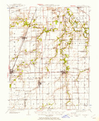
 1924 Divernon1924 Print · USGSSangamon County at the height of its rail-and-river era shows a landscape where agriculture and industry met along the South Fork Sangamon River. Researchers can trace the roots of vanished rural life through dozens of local landmarks like the Cotton Hill Academy, Zenobia, and Irwins Park.2 unique versions available
 - 1958 Map of Decatur, 1971 Print
 1958 Decatur1971 Print · USGSCentral Illinois in the mid-twentieth century shows a landscape defined by industrial rail hubs and the creation of large reservoirs. Researchers can trace historic corridors like the Penn Central or locate landmarks such as Lincoln Log Cabin State Park and Lake Springfield.3 unique versions available
 - 1961 Map of Decatur
 1961 Decatur1961 Print · USGSCentral Illinois in the late fifties was a bustling corridor of rail lines and prairie commerce centered on the state capital. Genealogists and historians can trace the intricate connections between Springfield, Decatur, and dozens of smaller settlements like Nokomis and Arcola.2 unique versions available
 - 1961 Map of Chatham, 1962 Print
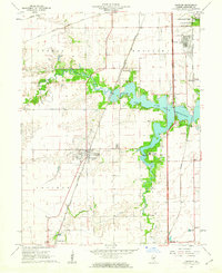 1961 Chatham1962 Print · USGSIn the early sixties, the area south of Springfield was a network of emerging suburbs and vital rail corridors centered around Chatham. Genealogists and historians can trace family landmarks like Stout Cem, local education at Glenwood Sch, and a rare Covered Bridge over Sugar Creek.3 unique versions available
 - 1985 Map of Springfield
 1985 Springfield1985 Print · USGSCentral Illinois during the mid-eighties shows a landscape of growing state capital influence and deep historical roots. Genealogists and historians can trace family sites near Oak Ridge Cem or follow the path of the Sangamon River past Williamsville and Riverton.2 unique versions available
 - 1998 Map of Chatham, 2000 Print
 1998 Chatham2000 Print · USGSSangamon County near the end of the century shows a blend of suburban growth and lakeside recreation. Researchers can trace local landmarks like St Bernard Cem, the Covered Bridge on Sugar Creek, and the National Guard Depot.
 - 2012 Map of Chatham, 2012 Print
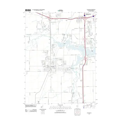 2012 Chatham2012 Print · USGSCovers Irwins Park, including Springfield, Woodside, and other nearby areas
 - 2015 Map of Chatham, 2015 Print
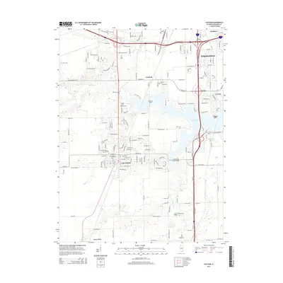 2015 Chatham2015 Print · USGSCovers Irwins Park, including Springfield, Woodside, and other nearby areas
 - 2018 Map of Chatham, 2018 Print
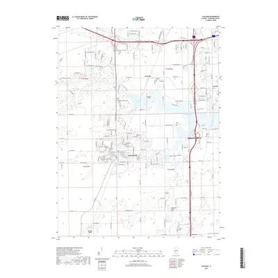 2018 Chatham2018 Print · USGSCovers Irwins Park, including Springfield, Woodside, and other nearby areas
 - 2021 Map of Chatham, 2021 Print
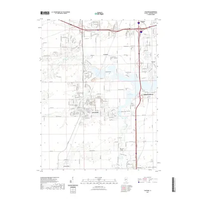 2021 Chatham2021 Print · USGSCovers Irwins Park, including Springfield, Woodside, and other nearby areas
 - 2024 Map of Chatham, 2024 Print
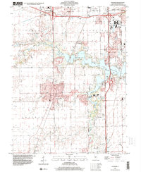
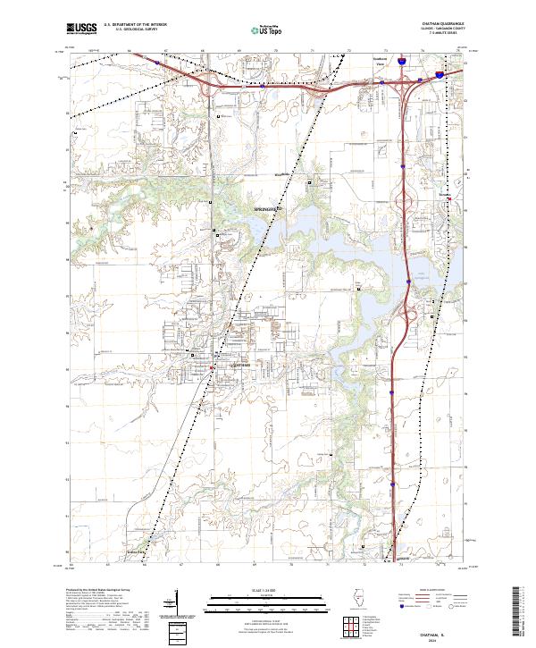 2024 Chatham2024 Print · USGSChatham and the southern reaches of Springfield are shown in the 2020s as residential growth meets the Sangamon County prairie. Genealogists can trace family heritage at Chatham Memorial Cem and Saint Bernard Cem or explore the shores of Lake Springfield.
End of results
Showing maps 1-12 of 12
Top cities near Irwins Park
- Springfield historical maps
- Woodside historical maps
- Chatham historical maps
- Auburn historical maps
- Virden historical maps
- Riverton historical maps
See more
Frequently asked questions
- What are the different types of historical maps available for Irwins Park?
- What is the oldest map of Irwins Park?
- Where can I purchase historical maps of Irwins Park for my home or office?
- Where can I download high-res historical maps of Irwins Park?
- Are there historical topographic maps available for Irwins Park?
- Is there historical aerial imagery available for Irwins Park?
- Where are historical maps of Irwins Park sourced from?