Old Maps of Loami, Illinois for Academic Research
Study the evolution of Loami with 11 high-resolution historic maps. Whether you're teaching, researching, or modeling changes in land use, these maps provide essential visual documentation of urban, environmental, and geographic change.
- Analyze long-term change: Track patterns in development, transportation, and natural features.
- Ideal for environmental or urban studies: Support academic projects with primary historical map data.
- Use in the classroom or lab: Educators and researchers rely on these maps to bring historical context to life.
These maps are a powerful tool for teaching, research, and visualizing how Loami has changed over the decades.
Loami, IL maps
(11)- 1924 Map of Waverly
 1924 Waverly1924 Print · USGSCentral Illinois at the height of the rail era shows a landscape dotted with country schoolhouses and bustling farming hubs. Trace the path of the Illinois Traction and locate family sites near Mound Seminary School or McClain Church.2 unique versions available
 - 1926 Map of Waverly
 1926 Waverly1926 Print · USGSIn the mid-1920s, this portion of central Illinois was a bustling intersection of steam railroads and electric interurbans. Genealogists can trace the rural communities of Waverly, New Berlin, and Loami, alongside dozens of local landmarks like Rohrer Church and the Highwater Mark School.2 unique versions available
 - 1958 Map of Decatur, 1971 Print
 1958 Decatur1971 Print · USGSCentral Illinois in the mid-twentieth century shows a landscape defined by industrial rail hubs and the creation of large reservoirs. Researchers can trace historic corridors like the Penn Central or locate landmarks such as Lincoln Log Cabin State Park and Lake Springfield.3 unique versions available
 - 1961 Map of Decatur
 1961 Decatur1961 Print · USGSCentral Illinois in the late fifties was a bustling corridor of rail lines and prairie commerce centered on the state capital. Genealogists and historians can trace the intricate connections between Springfield, Decatur, and dozens of smaller settlements like Nokomis and Arcola.2 unique versions available
 - 1981 Map of Loami, 1982 Print
 1981 Loami1982 Print · USGSSangamon County’s rural townships are documented here in the early eighties as a network of rail-side hamlets and family cemeteries. Trace the historical footprints of Loami and Curran, or locate heritage sites like Sulphur Springs Cem and Shelton Cem.
 - 1985 Map of Springfield
 1985 Springfield1985 Print · USGSCentral Illinois during the mid-eighties shows a landscape of growing state capital influence and deep historical roots. Genealogists and historians can trace family sites near Oak Ridge Cem or follow the path of the Sangamon River past Williamsville and Riverton.2 unique versions available
 - 2012 Map of Loami, 2012 Print
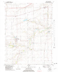
 2012 Loami2012 Print · USGSCovers Loami, including Springfield, Curran, and other nearby areas
 - 2015 Map of Loami, 2015 Print
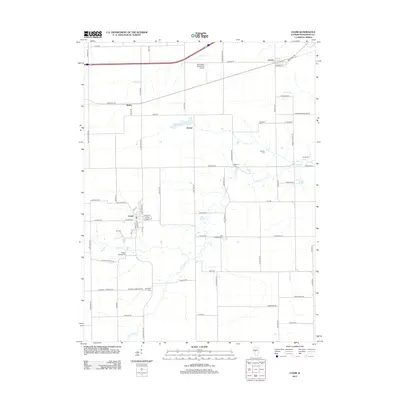
 2015 Loami2015 Print · USGSCovers Loami, including Springfield, Curran, and other nearby areas
 - 2018 Map of Loami, 2018 Print
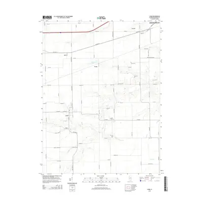
 2018 Loami2018 Print · USGSCovers Loami, including Springfield, Curran, and other nearby areas
 - 2021 Map of Loami, 2021 Print
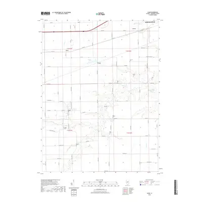
 2021 Loami2021 Print · USGSCovers Loami, including Springfield, Curran, and other nearby areas
 - 2024 Map of Loami, 2024 Print
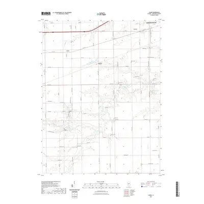
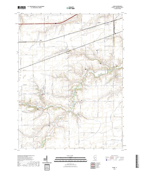 2024 Loami2024 Print · USGSSangamon County remains a landscape of deep-rooted farmsteads and small villages in this contemporary survey. Genealogists can locate several historic burial sites like Sulphur Springs Cemetery and Oak Grove Cemetery near the banks of Lick Creek.
End of results
Showing maps 1-11 of 11
Top cities near Loami
- Springfield historical maps
- Woodside historical maps
- Chatham historical maps
- Auburn historical maps
- Sherman historical maps
- Virden historical maps
See more
Frequently asked questions
- What are the different types of historical maps available for Loami?
- What is the oldest map of Loami?
- Where can I purchase historical maps of Loami for my home or office?
- Where can I download high-res historical maps of Loami?
- Are there historical topographic maps available for Loami?
- Is there historical aerial imagery available for Loami?
- Where are historical maps of Loami sourced from?