Old Maps of Sherman, Illinois for Hiking & Exploration
Hike through history with 34 historic maps of Sherman. Explore old trails, ghost towns, and forgotten backroads — perfect for outdoor adventurers and local explorers.
- Rediscover forgotten places: Map out old mining camps, roads, and footpaths that no longer exist on modern maps.
- Layer with modern tools: Combine with LiDAR or satellite views to plan hikes through historical terrain.
- Made for exploration: Popular among hikers, overlanders, and local history lovers.
Use these maps to find adventure and explore the hidden past of Sherman.
Sherman, IL maps
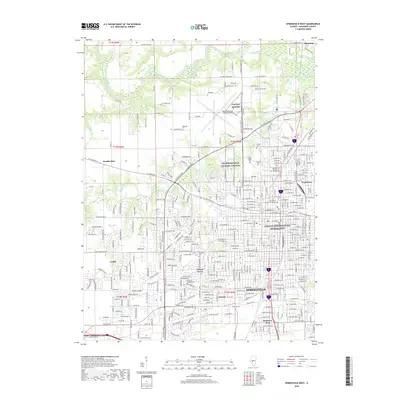
(34)- 1907 Map of Springfield
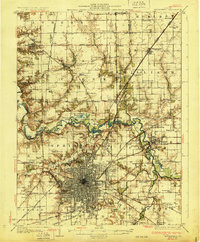
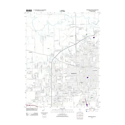
 1907 Springfield1907 Print · USGSSpringfield and the Sangamon River valley are captured here in the early twentieth century as the region thrived on coal, rail, and state government. Researchers can locate ancestral sites at Camp Lincoln, Calvary Cemetery, and the State Fair Grounds.2 unique versions available
 - 1930 Map of Springfield
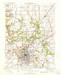
 1930 Springfield1930 Print · USGSSpringfield and its surrounding farming townships are seen here in the late twenties, captured as a vital crossroads of rail and road. Genealogists can locate family-named landmarks like Derry Farm and over two dozen country schools, including Crankneck Sch and American Hill Sch.3 unique versions available
 - 1940 Map of Springfield, 1959 Print
 1940 Springfield1959 Print · USGSSpringfield and its surrounding townships appear here as a bustling pre-war rail and aviation center. Researchers can trace family roots through numerous rural schools like Locate Lane Sch or historical sites like Lindbergh Air Mail Field and Camp Butler Cem.2 unique versions available
 - 1950 Map of Springfield West
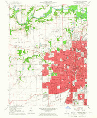
 1950 Springfield West1950 Print · USGSPost-war Springfield exhibits a complex network of railroads and civic institutions at the midpoint of the century. Trace family roots at Oak Ridge Cem or locate historic landmarks like the Lincoln Tomb and State Capitol.
 - 1950 Map of Springfield East
 1950 Springfield East1950 Print · USGSEast of the Illinois capital in the mid-twentieth century, a complex rail and river network shaped the landscape. Genealogists can trace family names through rural landmarks like St James Sch, Taylor Cem, and the U S Naval Training Sta.
 - 1958 Map of Decatur, 1971 Print
 1958 Decatur1971 Print · USGSCentral Illinois in the mid-twentieth century shows a landscape defined by industrial rail hubs and the creation of large reservoirs. Researchers can trace historic corridors like the Penn Central or locate landmarks such as Lincoln Log Cabin State Park and Lake Springfield.3 unique versions available
 - 1961 Map of Decatur
 1961 Decatur1961 Print · USGSCentral Illinois in the late fifties was a bustling corridor of rail lines and prairie commerce centered on the state capital. Genealogists and historians can trace the intricate connections between Springfield, Decatur, and dozens of smaller settlements like Nokomis and Arcola.2 unique versions available
 - 1965 Map of Springfield West, 1966 Print
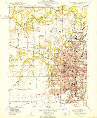
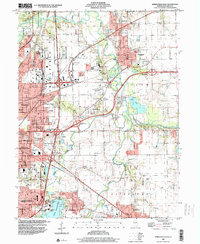
 1965 Springfield West1966 Print · USGSMid-century Springfield is shown here as a bustling state capital and rail center during a period of significant suburban expansion. Researchers can pinpoint Lincolns Tomb, trace the many rail lines like the Illinois Terminal, and find dozens of local landmarks from the Illini Country Club to Oak Ridge Cemetery.3 unique versions available
 - 1965 Map of Springfield East, 1966 Print
 1965 Springfield East1966 Print · USGSThe eastern edges of Springfield and the Sangamon River valley are captured here in the mid-1960s during a period of infrastructure growth. Genealogists and local historians can trace family locations at Camp Butler Cem, find the rural Bissell Cem, or locate the historic St Johns Sanitarium.4 unique versions available
 - 1966 Map of Athens, 1967 Print
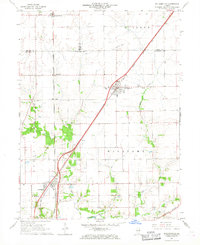
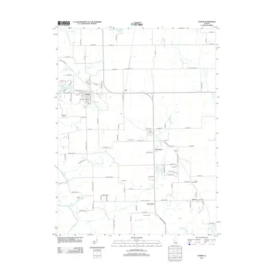
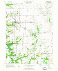 1966 Athens1967 Print · USGSNorth of Springfield in the mid-1960s, this area shows the rail junctions of Athens and Cantrall during a period of steady rural growth. Researchers can trace family history at Brittin Cem or locate the former Barr Station and the Sangamon River oxbows.3 unique versions available
 - 1966 Map of Williamsville, 1967 Print
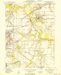
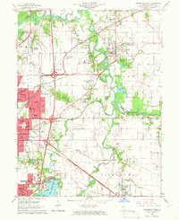
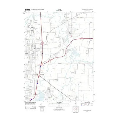
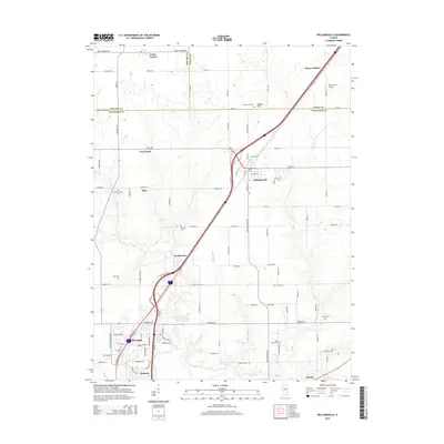
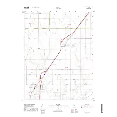
 1966 Williamsville1967 Print · USGSCentral Illinois farmland in the mid-sixties shows a landscape defined by rail corridors and creek bottoms. Trace family sites near Williamsville and Sherman, including several old burial grounds like Wolf Creek Cem and Stewart Cem.3 unique versions available
 - 1985 Map of Springfield
 1985 Springfield1985 Print · USGSCentral Illinois during the mid-eighties shows a landscape of growing state capital influence and deep historical roots. Genealogists and historians can trace family sites near Oak Ridge Cem or follow the path of the Sangamon River past Williamsville and Riverton.2 unique versions available
 - 1998 Map of Springfield East, 2000 Print
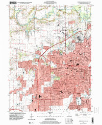
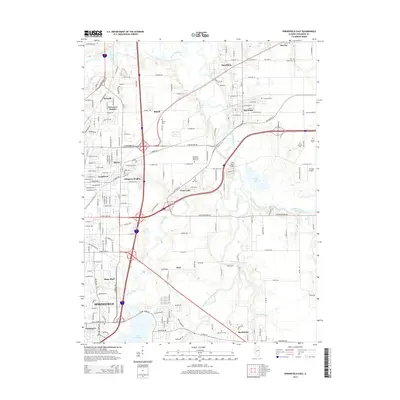
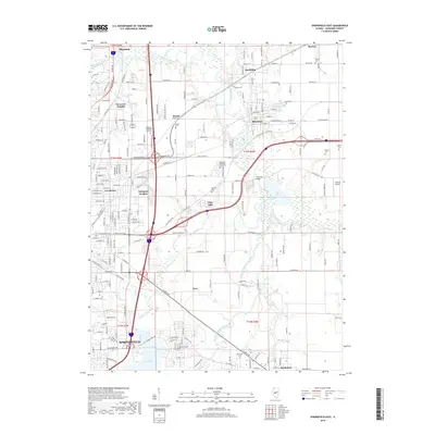
 1998 Springfield East2000 Print · USGSThe eastern edges of the Illinois capital were well-established by the late nineties, balancing industry with expansive public parks. Genealogists and historians can trace the grounds of Camp Butler Cem, the St Johns Sanitarium, and the rail lines of the Illinois Central RR.
 - 1998 Map of Springfield West, 2000 Print
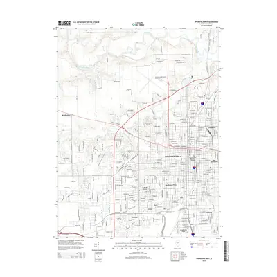
 1998 Springfield West2000 Print · USGSSpringfield and its surrounding suburbs are shown in extensive detail during the late nineties as the capital city’s footprint expanded. Genealogists and historians can locate burials at Oak Ridge Cemetery, trace the Illinois Central RR, and explore the layout of Camp Lincoln.
 - 2012 Map of Williamsville, 2012 Print
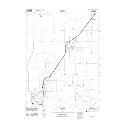 2012 Williamsville2012 Print · USGSCovers Sherman, including Williamsville, Knollwood, and other nearby areas
 - 2012 Map of Springfield East, 2012 Print
 2012 Springfield East2012 Print · USGSCovers Sherman, including Springfield, Riverton, and other nearby areas
 - 2012 Map of Springfield West, 2012 Print
 2012 Springfield West2012 Print · USGSCovers Sherman, including Springfield, Southern View, and other nearby areas
 - 2012 Map of Athens, 2012 Print
 2012 Athens2012 Print · USGSCovers Sherman, including Athens, Cantrall, and other nearby areas
 - 2015 Map of Athens, 2015 Print
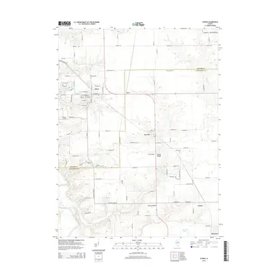 2015 Athens2015 Print · USGSCovers Sherman, including Athens, Cantrall, and other nearby areas
 - 2015 Map of Williamsville, 2015 Print
 2015 Williamsville2015 Print · USGSCovers Sherman, including Williamsville, Knollwood, and other nearby areas
 - 2015 Map of Springfield East, 2015 Print
 2015 Springfield East2015 Print · USGSCovers Sherman, including Springfield, Riverton, and other nearby areas
 - 2015 Map of Springfield West, 2015 Print
 2015 Springfield West2015 Print · USGSCovers Sherman, including Springfield, Southern View, and other nearby areas
 - 2018 Map of Williamsville, 2018 Print
 2018 Williamsville2018 Print · USGSCovers Sherman, including Williamsville, Knollwood, and other nearby areas
 - 2018 Map of Springfield East, 2018 Print
 2018 Springfield East2018 Print · USGSCovers Sherman, including Springfield, Riverton, and other nearby areas
 - 2018 Map of Springfield West, 2018 Print
 2018 Springfield West2018 Print · USGSCovers Sherman, including Springfield, Southern View, and other nearby areas
Showing maps 1-25 of 34
Top cities near Sherman
- Springfield historical maps
- Woodside historical maps
- Chatham historical maps
- Riverton historical maps
- Rochester historical maps
- Petersburg historical maps
See more
Top neighborhoods of Sherman
- Peabody historical maps
- Old Hickory historical maps
- Rail Meadows historical maps
- Rail Estates historical maps
Frequently asked questions
- What are the different types of historical maps available for Sherman?
- What is the oldest map of Sherman?
- Where can I purchase historical maps of Sherman for my home or office?
- Where can I download high-res historical maps of Sherman?
- Are there historical topographic maps available for Sherman?
- Is there historical aerial imagery available for Sherman?
- Where are historical maps of Sherman sourced from?