Old Maps of Dollville, Illinois for Metal Detecting
Plan your next treasure hunt with 12 historic maps of Dollville. Find old homesites, ghost towns, trails, and gathering spots that may be lost to time — perfect for identifying promising metal detecting locations.
- Locate forgotten sites: Uncover places like long-lost settlements, abandoned rail lines, or gathering spots.
- Plan better hunts: Use map overlays combined with LiDAR or satellite views to narrow in on historically rich areas.
- Made for detectorists: Thousands of hobbyists use these maps to discover relics, coins, and hidden history.
Use these historic maps to boost your research and find new opportunities beneath the surface of Dollville.
Dollville, IL maps
(12)- 1942 Map of Shelbyville, 1958 Print
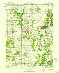 1942 Shelbyville1958 Print · USGSShelby County at the start of the 1940s reveals a landscape defined by the winding Kaskaskia River and its many bridge crossings. Researchers can trace family history through dozens of rural landmarks like Williamsburg Hill, Glenwood Cem, and Sandy Hill Sch.2 unique versions available
 - 1946 Map of Shelbyville
 1946 Shelbyville1946 Print · USGSMid-century Shelby County centers on the rail-and-river hub of Shelbyville during an era of thriving rural townships. Genealogists can trace hundreds of family sites, from the County Poor Farm to Ragweed Sch and Gallagher Chapel Cem.2 unique versions available
 - 1958 Map of Decatur, 1971 Print
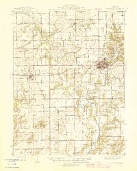
 1958 Decatur1971 Print · USGSCentral Illinois in the mid-twentieth century shows a landscape defined by industrial rail hubs and the creation of large reservoirs. Researchers can trace historic corridors like the Penn Central or locate landmarks such as Lincoln Log Cabin State Park and Lake Springfield.3 unique versions available
 - 1961 Map of Decatur
 1961 Decatur1961 Print · USGSCentral Illinois in the late fifties was a bustling corridor of rail lines and prairie commerce centered on the state capital. Genealogists and historians can trace the intricate connections between Springfield, Decatur, and dozens of smaller settlements like Nokomis and Arcola.2 unique versions available
 - 1981 Map of Tower Hill, 1982 Print
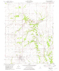 1981 Tower Hill1982 Print · USGSTower Hill and the surrounding Shelby County farmland are shown here in the early eighties as a busy intersection of rail lines and rural hamlets. Researchers can trace the paths of the Baltimore and Ohio and locate local landmarks like Armstrong Cem and Knobs Ch.
 - 1986 Map of Effingham
 1986 Effingham1986 Print · USGSCentral Illinois during the mid-eighties was a hub of rail travel and water recreation centered on the new reservoirs. Genealogists and historians can trace the rural landscape between Mattoon and Effingham, locating landmarks like St Paul Ch and Eagle Creek State Park.2 unique versions available
 - 1998 Map of Tower Hill, 2003 Print
 1998 Tower Hill2003 Print · USGSThe village of Tower Hill and the rural crossroads of Henton and Dollville anchor this Shelby County landscape in the late 1990s. Researchers can trace numerous family-named burial grounds and parish sites, including Middleworth Cem and St Paul Ch.
 - 2012 Map of Tower Hill, 2012 Print
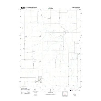 2012 Tower Hill2012 Print · USGSCovers Dollville, including Tower Hill, Henton, and other nearby areas
 - 2015 Map of Tower Hill, 2015 Print
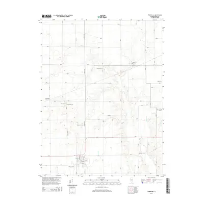 2015 Tower Hill2015 Print · USGSCovers Dollville, including Tower Hill, Henton, and other nearby areas
 - 2018 Map of Tower Hill, 2018 Print
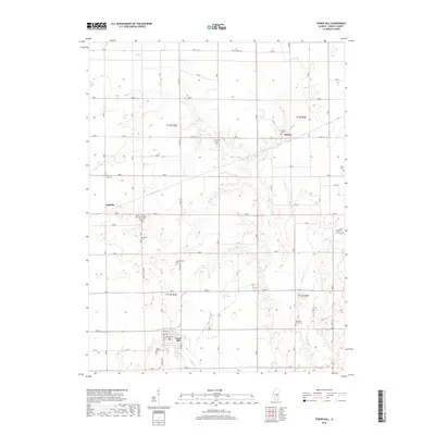 2018 Tower Hill2018 Print · USGSCovers Dollville, including Tower Hill, Henton, and other nearby areas
 - 2021 Map of Tower Hill, 2021 Print
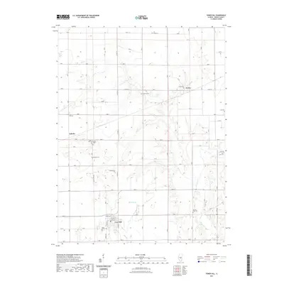 2021 Tower Hill2021 Print · USGSCovers Dollville, including Tower Hill, Henton, and other nearby areas
 - 2024 Map of Tower Hill, 2024 Print
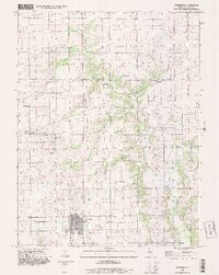
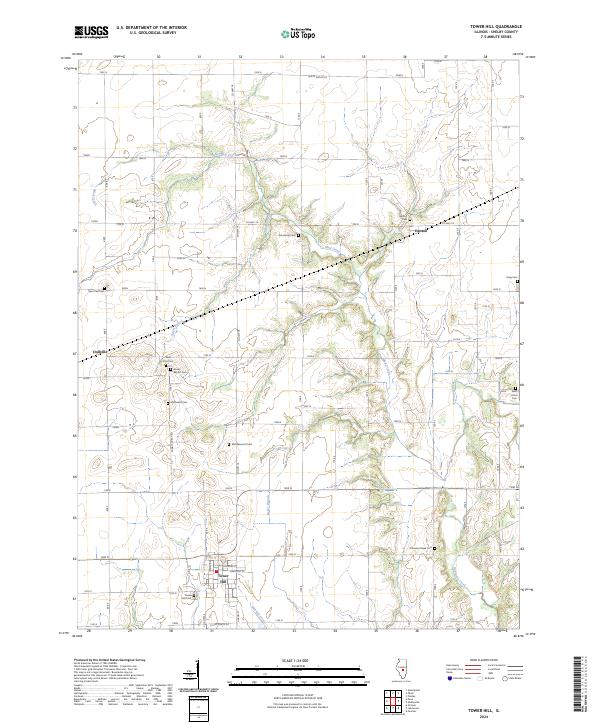 2024 Tower Hill2024 Print · USGSShelby County farmland and the village of Tower Hill are meticulously detailed in this recent survey. Researchers can locate numerous local burial grounds such as Robinson Creek Cem, Craig Cem, and the church-affiliated Methodist Cem.
End of results
Showing maps 1-12 of 12
Top cities near Dollville
- Pana historical maps
- Shelbyville historical maps
- Moweaqua historical maps
- Assumption historical maps
- Stonington historical maps
- Tower Hill historical maps
See more
Frequently asked questions
- What are the different types of historical maps available for Dollville?
- What is the oldest map of Dollville?
- Where can I purchase historical maps of Dollville for my home or office?
- Where can I download high-res historical maps of Dollville?
- Are there historical topographic maps available for Dollville?
- Is there historical aerial imagery available for Dollville?
- Where are historical maps of Dollville sourced from?