Old Maps of Findlay, Illinois for Metal Detecting
Plan your next treasure hunt with 20 historic maps of Findlay. Find old homesites, ghost towns, trails, and gathering spots that may be lost to time — perfect for identifying promising metal detecting locations.
- Locate forgotten sites: Uncover places like long-lost settlements, abandoned rail lines, or gathering spots.
- Plan better hunts: Use map overlays combined with LiDAR or satellite views to narrow in on historically rich areas.
- Made for detectorists: Thousands of hobbyists use these maps to discover relics, coins, and hidden history.
Use these historic maps to boost your research and find new opportunities beneath the surface of Findlay.
Findlay, IL maps
(20)- 1935 Map of Sullivan
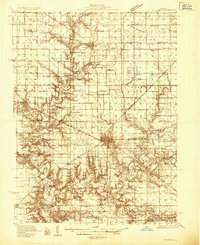 1935 Sullivan1935 Print · USGSMid-depression Moultrie County is captured here as a thriving network of small school districts and railroad sidings. Genealogists can trace family roots through dozens of local landmarks like Stringtown Sch, the Masonic Home, and Campfield Cem.3 unique versions available
 - 1940 Map of Sullivan
 1940 Sullivan1940 Print · USGSCentral Illinois is seen here just before the Second World War, showing a landscape defined by small townships and an extensive rail network. Genealogists and local researchers can locate dozens of country schools like Hewitt Sch and Titus Sch, or trace family sites such as Wright Cem and the Masonic Home.2 unique versions available
 - 1949 Map of Dalton City
 1949 Dalton City1949 Print · USGSCentral Illinois agriculture and rail transit are documented here just after the war, showing the dense network of one-room schools and country churches. Genealogists can locate family landmarks like Sanner Chapel, New Hope Cem, and Penn Consolidated Sch.2 unique versions available
 - 1958 Map of Decatur, 1971 Print
 1958 Decatur1971 Print · USGSCentral Illinois in the mid-twentieth century shows a landscape defined by industrial rail hubs and the creation of large reservoirs. Researchers can trace historic corridors like the Penn Central or locate landmarks such as Lincoln Log Cabin State Park and Lake Springfield.3 unique versions available
 - 1961 Map of Decatur
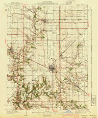
 1961 Decatur1961 Print · USGSCentral Illinois in the late fifties was a bustling corridor of rail lines and prairie commerce centered on the state capital. Genealogists and historians can trace the intricate connections between Springfield, Decatur, and dozens of smaller settlements like Nokomis and Arcola.2 unique versions available
 - 1983 Map of Kirksville
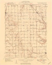
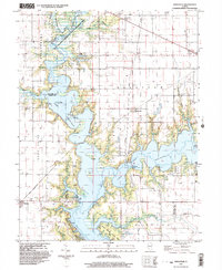
 1983 Kirksville1983 Print · USGSThe Lake Shelbyville area is shown here in the early eighties as the reservoir reshaped the Moultrie and Shelby county lines. Genealogists and local historians can trace rural roots through landmarks like Henderson Cem, Oak Grove Ch, and the village of Kirksville.
 - 1983 Map of Findlay
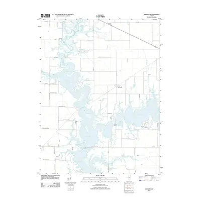
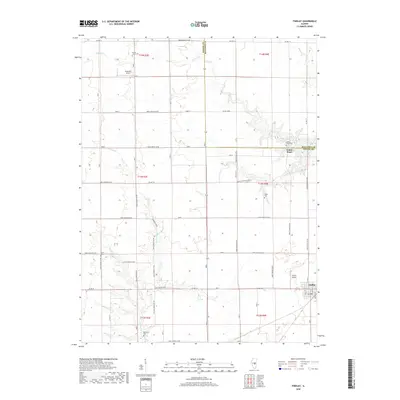
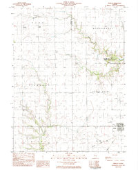 1983 Findlay1983 Print · USGSShelby County in the early eighties shows a landscape of steady agricultural life centered on Findlay. Genealogists and local historians can trace family locations near Prairie Home Cem, St Marys Ch, or along the Missouri Pacific rail corridor.
 - 1985 Map of Decatur
 1985 Decatur1985 Print · USGSCentral Illinois farming and rail hubs thrive in the mid-1980s as Decatur anchors a sprawling network of track and timber. Trace the paths of the Sangamon River and the Illinois Central Gulf RR through old towns like Cerro Gordo and Bement.2 unique versions available
 - 1998 Map of Findlay, 2003 Print
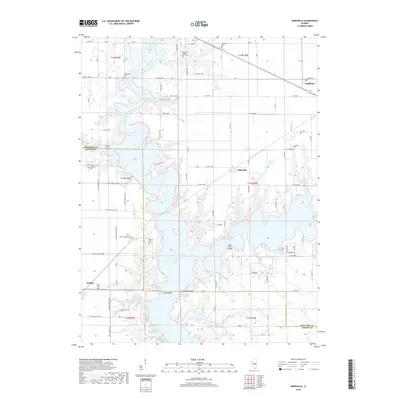
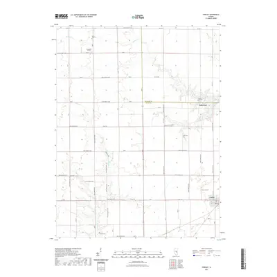
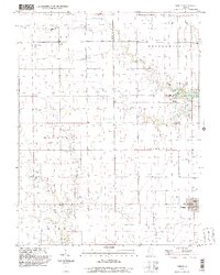 1998 Findlay2003 Print · USGSThe village of Findlay and the surrounding Shelby and Moultrie County line are documented here in the late nineties. Researchers can trace ancestral locations through numerous family landmarks like Prairie Home Cem and Brunswick Cem.
 - 1999 Map of Kirksville, 2003 Print
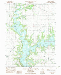
 1999 Kirksville2003 Print · USGSCentral Illinois in the late nineties shows a landscape reshaped by the waters of Shelbyville Lake. Researchers can trace rural lineages at Oak Grove Ch or locate family plots at Camfield Cem and Henderson Cem.
 - 2012 Map of Findlay, 2012 Print
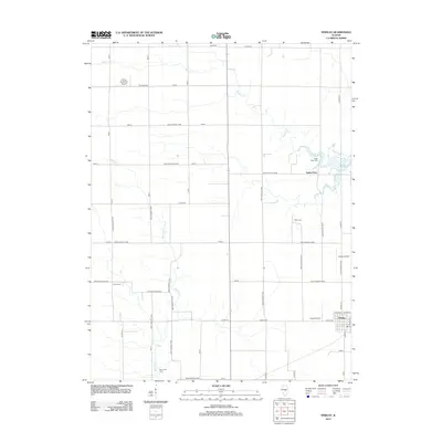 2012 Findlay2012 Print · USGSCovers Findlay, including Todds Point, Shelby County, and other nearby areas
 - 2012 Map of Kirksville, 2012 Print
 2012 Kirksville2012 Print · USGSCovers Findlay, including Sullivan, Kirksville, and other nearby areas
 - 2015 Map of Findlay, 2015 Print
 2015 Findlay2015 Print · USGSCovers Findlay, including Todds Point, Shelby County, and other nearby areas
 - 2015 Map of Kirksville, 2015 Print
 2015 Kirksville2015 Print · USGSCovers Findlay, including Sullivan, Kirksville, and other nearby areas
 - 2018 Map of Kirksville, 2018 Print
 2018 Kirksville2018 Print · USGSCovers Findlay, including Sullivan, Kirksville, and other nearby areas
 - 2018 Map of Findlay, 2018 Print
 2018 Findlay2018 Print · USGSCovers Findlay, including Todds Point, Shelby County, and other nearby areas
 - 2021 Map of Findlay, 2021 Print
 2021 Findlay2021 Print · USGSCovers Findlay, including Todds Point, Shelby County, and other nearby areas
 - 2021 Map of Kirksville, 2021 Print
 2021 Kirksville2021 Print · USGSCovers Findlay, including Sullivan, Kirksville, and other nearby areas
 - 2024 Map of Findlay, 2024 Print
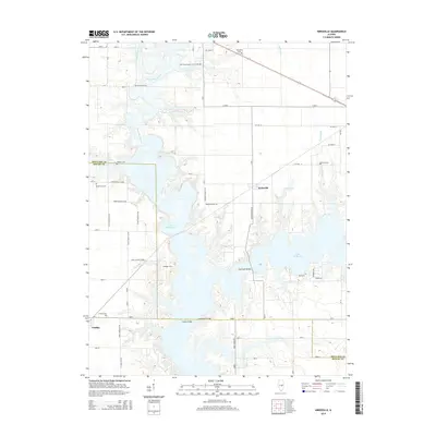
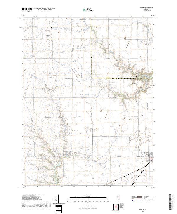 2024 Findlay2024 Print · USGSThe village of Findlay and its surrounding Shelby County farmlands are shown in this modern survey of the central Illinois prairie. Genealogists and local historians can trace family locations through numerous rural cemeteries, including Todds Point Cem and Brunswick Cem.
 - 2024 Map of Kirksville, 2024 Print
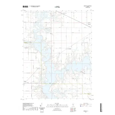
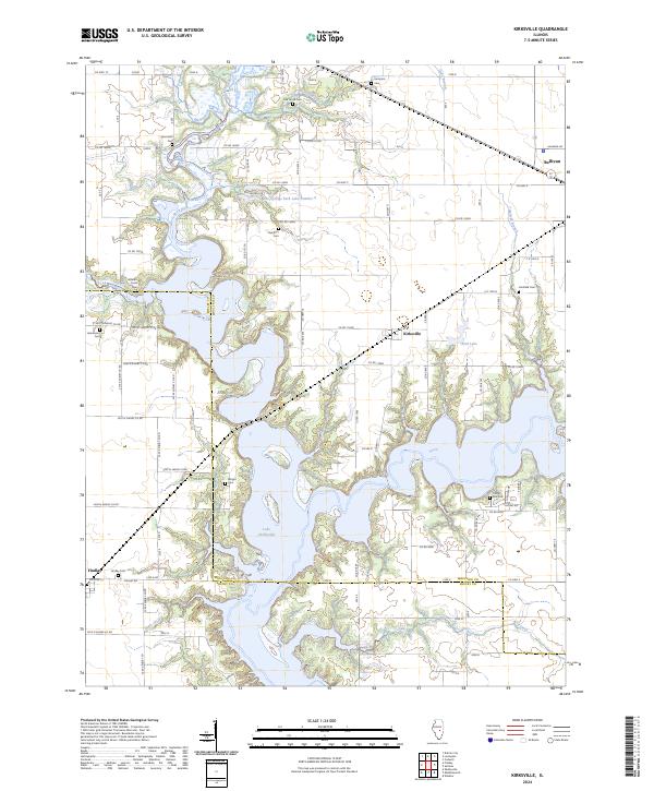 2024 Kirksville2024 Print · USGSCentral Illinois in the current era is defined here by the intricate shoreline of Lake Shelbyville and the surrounding prairie towns. Researchers can trace family history at numerous rural sites including Wilborn Creek Cem, Camfield Cem, and Hamilton Cem.
End of results
Showing maps 1-20 of 20
Top cities near Findlay
- Shelbyville historical maps
- Sullivan historical maps
- Bethany historical maps
- Lovington historical maps
- Windsor historical maps
- Tower Hill historical maps
See more
Frequently asked questions
- What are the different types of historical maps available for Findlay?
- What is the oldest map of Findlay?
- Where can I purchase historical maps of Findlay for my home or office?
- Where can I download high-res historical maps of Findlay?
- Are there historical topographic maps available for Findlay?
- Is there historical aerial imagery available for Findlay?
- Where are historical maps of Findlay sourced from?