Old Maps of Wamac, Illinois for Metal Detecting
Plan your next treasure hunt with 20 historic maps of Wamac. Find old homesites, ghost towns, trails, and gathering spots that may be lost to time — perfect for identifying promising metal detecting locations.
- Locate forgotten sites: Uncover places like long-lost settlements, abandoned rail lines, or gathering spots.
- Plan better hunts: Use map overlays combined with LiDAR or satellite views to narrow in on historically rich areas.
- Made for detectorists: Thousands of hobbyists use these maps to discover relics, coins, and hidden history.
Use these historic maps to boost your research and find new opportunities beneath the surface of Wamac.
Wamac, IL maps
(20)- 1914 Map of Centralia
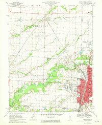
 1914 Centralia1914 Print · USGSSouthern Illinois at the peak of the rail era shows a landscape of busy junctions and tightly-knit rural school districts. Genealogists and historians can trace family locations near landmarks like Possumtrot School, Fikes Hill, and the bustling yards of Centralia.3 unique versions available
 - 1935 Map of Centralia, 1958 Print
 1935 Centralia1958 Print · USGSCentralia and the surrounding Marion County townships thrived as a major railroad crossroads in the mid-1930s. Researchers can locate dozens of localized rural schoolhouses like Red Stripe and Possumtrot School or trace the early paths of the Illinois Central through Sandoval and Odin.
 - 1943 Map of Ashley, 1967 Print
 1943 Ashley1967 Print · USGSSouthern Illinois during the early 1940s is captured here as a thriving rail and agricultural hub. Genealogists can locate specific family-linked landmarks like the Blissville Polling House, Conta Colliery, and the Odd Fellows Cem.
 - 1946 Map of Ashley
 1946 Ashley1946 Print · USGSSouthern Illinois at the end of the war was a landscape of concentrated rail corridors and rural school districts. Genealogists can trace family roots through dozens of local landmarks like St Michael Cem, Oniontown, and the Blissville Polling House.
 - 1958 Map of Belleville, 1973 Print
 1958 Belleville1973 Print · USGSSouthern Illinois during the mid-twentieth century reveals a landscape of industrial growth and massive new reservoirs. Genealogists and historians can trace the paths of the Illinois Central RR through towns like Centralia or locate landmarks such as Emerald Mound and the Looking Glass Prairie.3 unique versions available
 - 1962 Map of Belleville
 1962 Belleville1962 Print · USGSSouthern Illinois in the late fifties reveals a landscape of industrial growth and ancient landmarks before the full expansion of the interstate system. Genealogists can trace family names and rural post offices near Centralia, Salem, and the historic Monks Mound.
 - 1969 Map of Centralia West, 1971 Print
 1969 Centralia West1971 Print · USGSCentralia and Wamac are shown at a peak of industrial and institutional growth in the late sixties. Researchers can trace family roots through numerous sites like Bethlehem Cem, Kaskaskia College, and the busy Junction City (Glen Ridge Station).2 unique versions available
 - 1974 Map of Irvington, 1978 Print
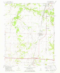 1974 Irvington1978 Print · USGSSouthern Illinois oil production and rail transport define this mid-1970s landscape near the Washington and Jefferson county line. Trace local history through the Irvington Oil Field, the Gulf Mobile and Ohio railroad, and family-named sites like Harres Cemetery.
 - 1985 Map of Carlyle Lake
 1985 Carlyle Lake1985 Print · USGSSouthwestern Illinois in the mid-eighties shows a landscape of growing commuter suburbs and massive water management projects. Genealogists and historians can locate family plots at Lakeview Memorial Gardens Cem or trace the early footprint of Southern Illinois Univ (Edwardsville).2 unique versions available
 - 1985 Map of Pinckneyville
 1985 Pinckneyville1985 Print · USGSSouthern Illinois in the mid-eighties shows a landscape of prairie farms, coal extraction, and vital rail corridors. Researchers can trace the rail-side growth of Venedy Station and New Memphis Station or locate landmarks like St Libory Church and Memorial Gardens Cem.2 unique versions available
 - 2012 Map of Centralia West, 2012 Print
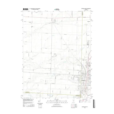
 2012 Centralia West2012 Print · USGSCovers Wamac, including Centralia, Sandoval, and other nearby areas
 - 2012 Map of Irvington, 2012 Print
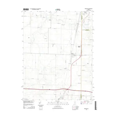
 2012 Irvington2012 Print · USGSCovers Wamac, including Centralia, Irvington, and other nearby areas
 - 2015 Map of Irvington, 2015 Print
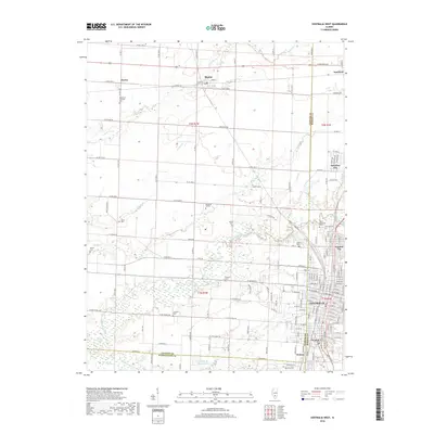
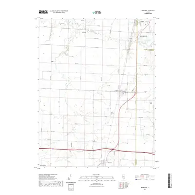
 2015 Irvington2015 Print · USGSCovers Wamac, including Centralia, Irvington, and other nearby areas
 - 2015 Map of Centralia West, 2015 Print
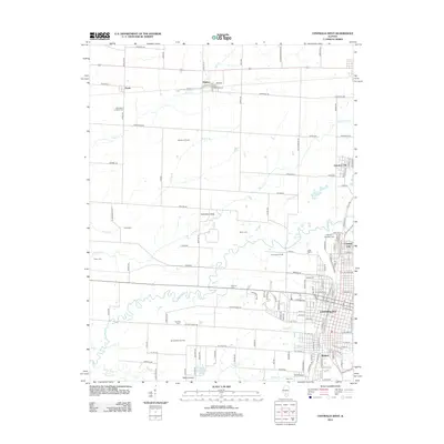
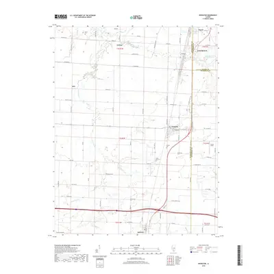
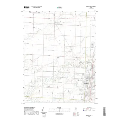
 2015 Centralia West2015 Print · USGSCovers Wamac, including Centralia, Sandoval, and other nearby areas
 - 2018 Map of Centralia West, 2018 Print
 2018 Centralia West2018 Print · USGSCovers Wamac, including Centralia, Sandoval, and other nearby areas
 - 2018 Map of Irvington, 2018 Print
 2018 Irvington2018 Print · USGSCovers Wamac, including Centralia, Irvington, and other nearby areas
 - 2021 Map of Centralia West, 2021 Print
 2021 Centralia West2021 Print · USGSCovers Wamac, including Centralia, Sandoval, and other nearby areas
 - 2021 Map of Irvington, 2021 Print
 2021 Irvington2021 Print · USGSCovers Wamac, including Centralia, Irvington, and other nearby areas
 - 2024 Map of Centralia West, 2024 Print
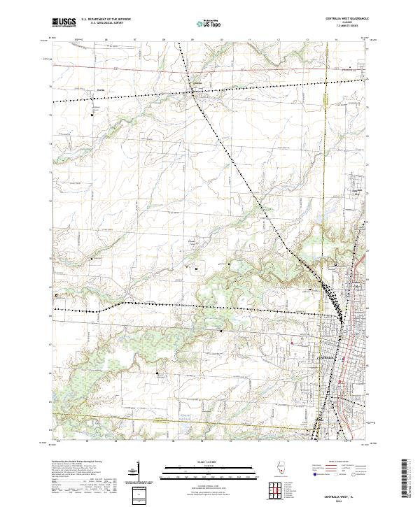 2024 Centralia West2024 Print · USGSClinton County and the outskirts of Centralia appear in the early 2020s, showing a landscape of fertile prairie branches and growing residential blocks. Genealogists can locate family landmarks like Garrison Graveyard, Petrea Cem, and the campus of Kaskaskia College.
 - 2024 Map of Irvington, 2024 Print
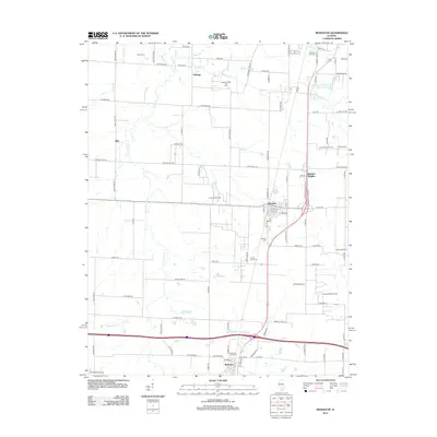
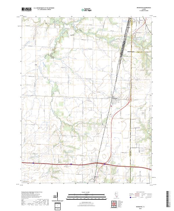 2024 Irvington2024 Print · USGSThis Southern Illinois landscape centers on the village of Irvington and the tri-county border area at the dawn of the 2020s. Researchers can locate family plots at Harres Cem or trace the rural road networks surrounding Noltings, Alda, and the Prairie Airport.
End of results
Showing maps 1-20 of 20
Top cities near Wamac
- Mount Vernon historical maps
- Centralia historical maps
- Salem historical maps
- Carlyle historical maps
- Nashville historical maps
- Sandoval historical maps
See more
Frequently asked questions
- What are the different types of historical maps available for Wamac?
- What is the oldest map of Wamac?
- Where can I purchase historical maps of Wamac for my home or office?
- Where can I download high-res historical maps of Wamac?
- Are there historical topographic maps available for Wamac?
- Is there historical aerial imagery available for Wamac?
- Where are historical maps of Wamac sourced from?