Old Maps of Monmouth, Illinois for Hiking & Exploration
Hike through history with 22 historic maps of Monmouth. Explore old trails, ghost towns, and forgotten backroads — perfect for outdoor adventurers and local explorers.
- Rediscover forgotten places: Map out old mining camps, roads, and footpaths that no longer exist on modern maps.
- Layer with modern tools: Combine with LiDAR or satellite views to plan hikes through historical terrain.
- Made for exploration: Popular among hikers, overlanders, and local history lovers.
Use these maps to find adventure and explore the hidden past of Monmouth.
Monmouth, IL maps
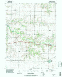
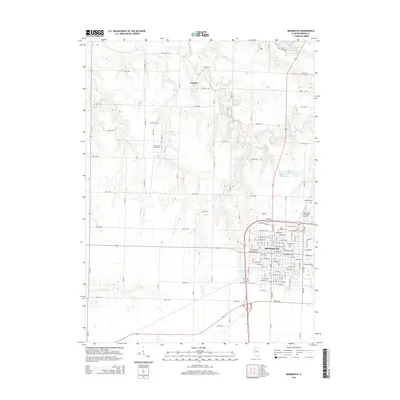
(22)- 1921 Map of Monmouth, 1961 Print
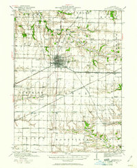 1921 Monmouth1961 Print · USGSWarren County at the opening of the 1920s reveals a bustling agricultural landscape centered on the rail hub of Monmouth. Genealogists and historians can trace dozens of country schools and vanished locales like Coonville, Farmers Academy, and the County Farm.3 unique versions available
 - 1923 Map of Monmouth
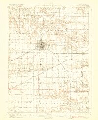 1923 Monmouth1923 Print · USGSWarren County in the early twenties was a thriving prairie landscape defined by its dense network of rural schools and rail junctions. Researchers can trace dozens of early educational sites like Hickory College and Scotchtown School or locate the historic COUNTY FARM near the hub of Monmouth.2 unique versions available
 - 1958 Map of Burlington, 1968 Print
 1958 Burlington1968 Print · USGSThe tri-state river country of Iowa, Illinois, and Missouri is captured here in the mid-fifties, dominated by the Mississippi River and major rail lines. Genealogists and historians can trace the development of river towns like Keokuk or locate the sprawling Iowa Army Ammunition Plant.4 unique versions available
 - 1961 Map of Burlington
 1961 Burlington1961 Print · USGSThe tri-state borderlands along the Mississippi River are captured here during the late fifties and early sixties, showing the vital river-and-rail economy of Iowa, Illinois, and Missouri. Genealogists and historians can trace the development of major hubs like Galesburg and Macomb alongside landmark sites such as the Iowa Ordnance Plant and the historic river town of Nauvoo.
 - 1963 Map of Burlington
 1963 Burlington1963 Print · USGSThe tri-state river country of the Mississippi and Illinois valleys comes alive in this mid-century survey. Genealogists and historians can trace the industrial and academic growth of the region, from the Iowa Ordnance Plant to campuses like Knox College and Western Illinois University.
 - 1982 Map of Cameron, 1983 Print
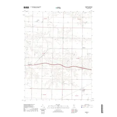
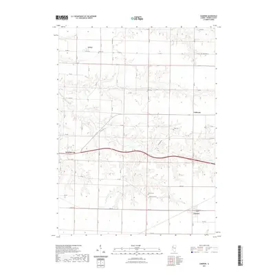
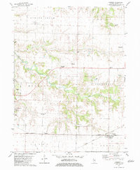 1982 Cameron1983 Print · USGSWarren County in the early eighties shows a landscape of steady agriculture and dual railroad corridors. Genealogists and historians can trace family plots at Mosher Cem and Patterson Cem or locate the rural Warren Sch near Monmouth.
 - 1982 Map of Monmouth, 1983 Print
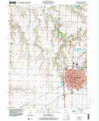
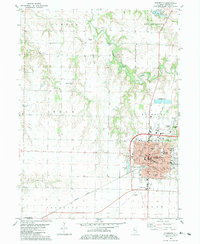 1982 Monmouth1983 Print · USGSMonmouth and its surrounding townships are shown in the early eighties as the town grew around Monmouth College. Genealogists can trace family roots at St Marys Cem or Sugar Tree Grove Cem, while the Burlington Northern line defines the local rail economy.
 - 1985 Map of Galesburg, 1986 Print
 1985 Galesburg1986 Print · USGSWestern Illinois in the mid-eighties was a landscape of riverfront forests and industrial rail hubs. Genealogists and historians can trace the growth of Galesburg and Monmouth alongside rural landmarks like Stronghurst and the coal operations of the Strip Mine near Canton.2 unique versions available
 - 1989 Map of Galesburg
 1989 Galesburg1989 Print · USGSWestern Illinois in the late eighties reveals a landscape of industrial rail hubs and riverfront timberland. Genealogists and historians can trace the routes of the Atchison Topeka and Santa Fe RR through small towns like Stronghurst, London Mills, and Middle Grove (Middlepoint).
 - 1990 Map of Burlington
 1990 Burlington1990 Print · USGSThe tri-state confluence of Iowa, Illinois, and Missouri is mapped here at the end of the twentieth century. Genealogists and historians can trace the riverfront heritage of Burlington, Keokuk, and Fort Madison, or locate sites like the Battle of Athens State Historic Site.2 unique versions available
 - 1996 Map of Cameron, 1997 Print
 1996 Cameron1997 Print · USGSThe rural landscapes of Warren County appear here during the late twentieth century, showing the enduring grid of prairie townships. Genealogists can trace family heritage at Terpening Cem and Ogden Cem or locate the old Warren Sch near Monmouth.
 - 1998 Map of Monmouth, 2000 Print
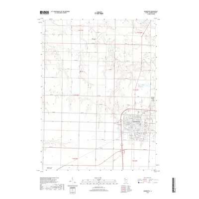
 1998 Monmouth2000 Print · USGSWarren County at the close of the millennium centers on the thriving college town of Monmouth. Genealogists and local historians can trace the town's expansion toward Citizens Lake and locate rural landmarks like St Marys Cem or the Yorkwood High Sch.
 - 2012 Map of Cameron, 2012 Print
 2012 Cameron2012 Print · USGSCovers Monmouth, including Coldbrook, Gerlaw, and other nearby areas
 - 2012 Map of Monmouth, 2012 Print
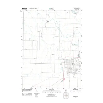 2012 Monmouth2012 Print · USGSCovers Monmouth, including Kirkwood, Eleanor, and other nearby areas
 - 2015 Map of Cameron, 2015 Print
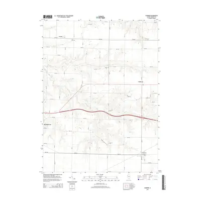 2015 Cameron2015 Print · USGSCovers Monmouth, including Coldbrook, Gerlaw, and other nearby areas
 - 2015 Map of Monmouth, 2015 Print
 2015 Monmouth2015 Print · USGSCovers Monmouth, including Kirkwood, Eleanor, and other nearby areas
 - 2018 Map of Cameron, 2018 Print
 2018 Cameron2018 Print · USGSCovers Monmouth, including Coldbrook, Gerlaw, and other nearby areas
 - 2018 Map of Monmouth, 2018 Print
 2018 Monmouth2018 Print · USGSCovers Monmouth, including Kirkwood, Eleanor, and other nearby areas
 - 2021 Map of Monmouth, 2021 Print
 2021 Monmouth2021 Print · USGSCovers Monmouth, including Kirkwood, Eleanor, and other nearby areas
 - 2021 Map of Cameron, 2021 Print
 2021 Cameron2021 Print · USGSCovers Monmouth, including Coldbrook, Gerlaw, and other nearby areas
 - 2024 Map of Monmouth, 2024 Print
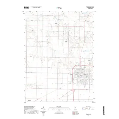
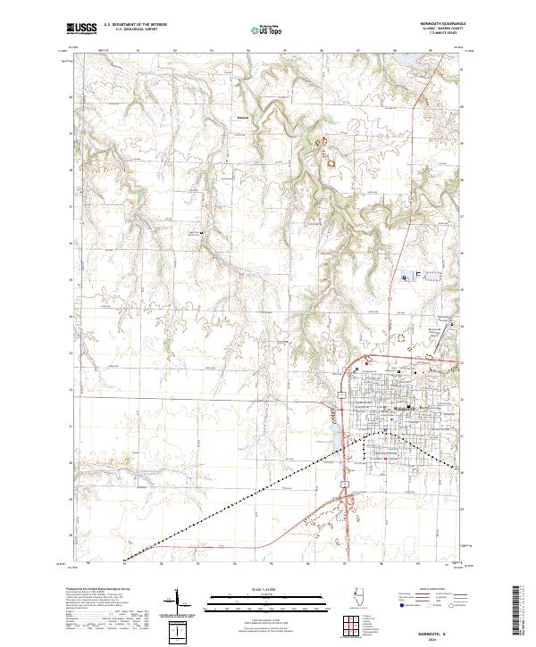 2024 Monmouth2024 Print · USGSWestern Illinois farmland and the college town of Monmouth are documented here in recent detail. Genealogists and local historians can trace family plots at Saint Marys Cem or locate the Warren County Courthouse and Monmouth College.
 - 2024 Map of Cameron, 2024 Print
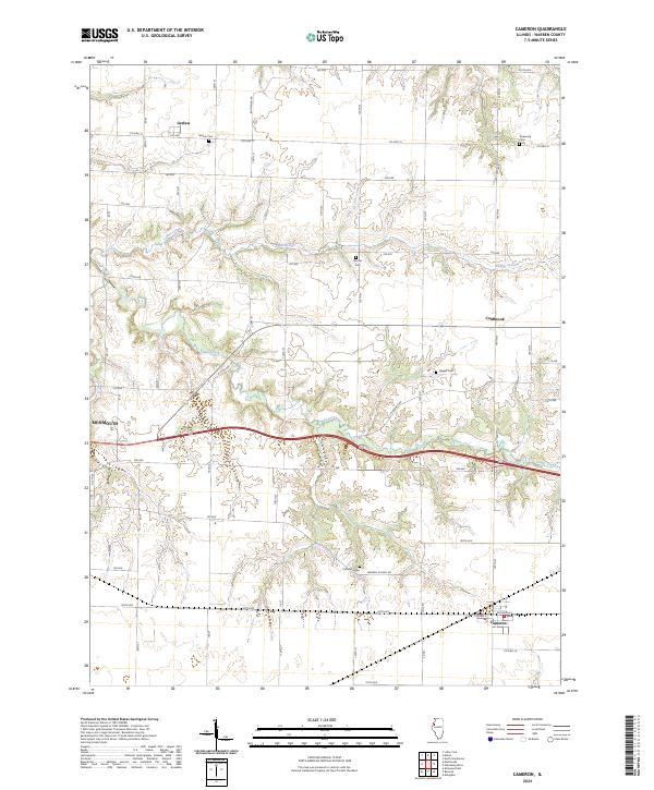 2024 Cameron2024 Print · USGSWarren County prairie land is documented here in its modern state, showing the agricultural grids around Gerlaw and Cameron. Genealogists can trace several local burial sites across the township, including Ogden Cem, Mosher Cem, and Patterson Cem.
End of results
Showing maps 1-22 of 22
Top cities near Monmouth
- Galesburg historical maps
- Abingdon historical maps
- Roseville historical maps
- Kirkwood historical maps
- Greenbush historical maps
- Coldbrook historical maps
See more
Frequently asked questions
- What are the different types of historical maps available for Monmouth?
- What is the oldest map of Monmouth?
- Where can I purchase historical maps of Monmouth for my home or office?
- Where can I download high-res historical maps of Monmouth?
- Are there historical topographic maps available for Monmouth?
- Is there historical aerial imagery available for Monmouth?
- Where are historical maps of Monmouth sourced from?