Old Maps of Nashville, Illinois for Academic Research
Study the evolution of Nashville with 30 high-resolution historic maps. Whether you're teaching, researching, or modeling changes in land use, these maps provide essential visual documentation of urban, environmental, and geographic change.
- Analyze long-term change: Track patterns in development, transportation, and natural features.
- Ideal for environmental or urban studies: Support academic projects with primary historical map data.
- Use in the classroom or lab: Educators and researchers rely on these maps to bring historical context to life.
These maps are a powerful tool for teaching, research, and visualizing how Nashville has changed over the decades.
Nashville, IL maps
(30)- 1931 Map of Hoyleton
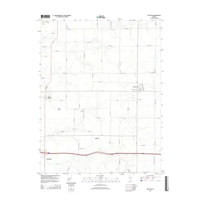
 1931 Hoyleton1931 Print · USGSWashington County at the start of the 1930s shows a landscape of busy crossroads and rail junctions. Genealogists can trace family roots through numerous local schoolhouses like Nuptial Sch and Hogshead Sch, or locate ancestors at the Masonic Cem.
 - 1932 Map of Nashville, 1960 Print
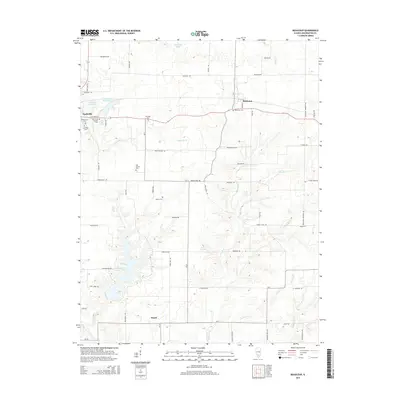
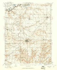 1932 Nashville1960 Print · USGSWashington and Clinton Counties come alive in the early thirties as a dense network of rail and rural schools. Genealogists can trace family roots through landmarks like Locust Creek Cem and dozens of local schoolhouses including Sassafras Sch and Hogshead Sch.2 unique versions available
 - 1936 Map of Nashville
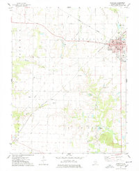
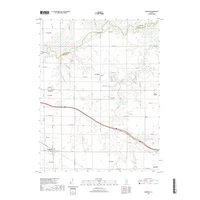
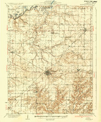 1936 Nashville1936 Print · USGSSouthern Illinois prairie life thrives at the crossroads of the river and rail in the mid-1930s. Genealogists can locate dozens of country schools and churches, from Hogshead Sch to Elkhorn Sch, and trace the path of the Louisville and Nashville Railroad.2 unique versions available
 - 1958 Map of Belleville, 1973 Print
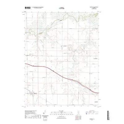
 1958 Belleville1973 Print · USGSSouthern Illinois during the mid-twentieth century reveals a landscape of industrial growth and massive new reservoirs. Genealogists and historians can trace the paths of the Illinois Central RR through towns like Centralia or locate landmarks such as Emerald Mound and the Looking Glass Prairie.3 unique versions available
 - 1962 Map of Belleville
 1962 Belleville1962 Print · USGSSouthern Illinois in the late fifties reveals a landscape of industrial growth and ancient landmarks before the full expansion of the interstate system. Genealogists can trace family names and rural post offices near Centralia, Salem, and the historic Monks Mound.
 - 1974 Map of Beaucoup
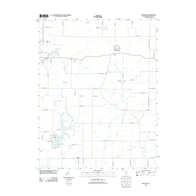
 1974 Beaucoup1974 Print · USGSWashington County, Illinois, is captured here in the mid-seventies during a peak period of local oil extraction and conservation development. Researchers can trace family history through numerous burial sites like Old County Cem or locate the Beaucoup Oil Field and the Becks Farm Landing Strip.
 - 1974 Map of Hoyleton, 1978 Print
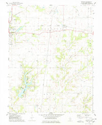
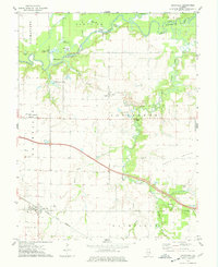
 1974 Hoyleton1978 Print · USGSWashington County during the mid-1970s reveals a landscape of established prairie farms and small railroad towns. Genealogists and historians can locate specific landmarks like St Johns Cems, North Prairie Cem, and the rail-oriented layout of Hoyleton.
 - 1974 Map of Nashville, 1978 Print
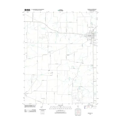
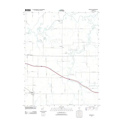
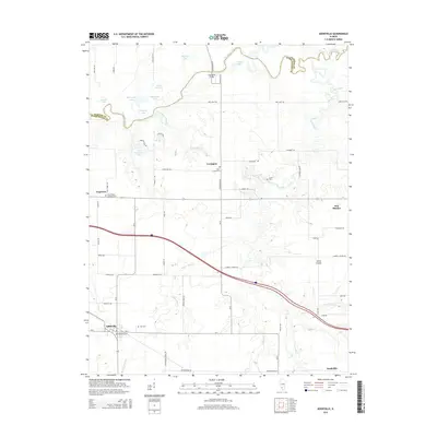
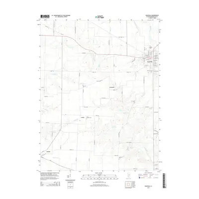
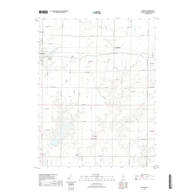
 1974 Nashville1978 Print · USGSNashville and the surrounding Illinois prairie are shown in the 1970s as a landscape of agricultural tradition meeting modern oil extraction. Genealogists can locate family landmarks like St Peters Cem, Trinity Sch, and the Cordes Oil Field.2 unique versions available
 - 1974 Map of Addieville, 1978 Print
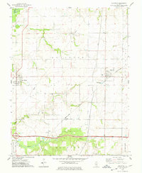
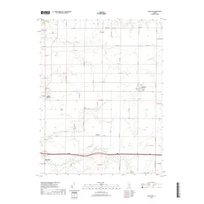
 1974 Addieville1978 Print · USGSAddieville and Washington County in the mid-seventies show a landscape defined by prairie agriculture and the winding Kaskaskia River. Genealogists can trace family footprints at Zion Cem and Lively Cem or locate the rural siding at Frogtown.
 - 1985 Map of Pinckneyville
 1985 Pinckneyville1985 Print · USGSSouthern Illinois in the mid-eighties shows a landscape of prairie farms, coal extraction, and vital rail corridors. Researchers can trace the rail-side growth of Venedy Station and New Memphis Station or locate landmarks like St Libory Church and Memorial Gardens Cem.2 unique versions available
 - 2012 Map of Beaucoup, 2012 Print
 2012 Beaucoup2012 Print · USGSCovers Nashville, including Beaucoup, Posen, and other nearby areas
 - 2012 Map of Nashville, 2012 Print
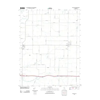
 2012 Nashville2012 Print · USGSCovers Nashville, including Oakdale, Kempside, and other nearby areas
 - 2012 Map of Addieville, 2012 Print
 2012 Addieville2012 Print · USGSCovers Nashville, including Covington, Addieville, and other nearby areas
 - 2012 Map of Hoyleton, 2012 Print
 2012 Hoyleton2012 Print · USGSCovers Nashville, including Hoyleton, New Minden, and other nearby areas
 - 2015 Map of Beaucoup, 2015 Print
 2015 Beaucoup2015 Print · USGSCovers Nashville, including Beaucoup, Posen, and other nearby areas
 - 2015 Map of Addieville, 2015 Print
 2015 Addieville2015 Print · USGSCovers Nashville, including Covington, Addieville, and other nearby areas
 - 2015 Map of Nashville, 2015 Print
 2015 Nashville2015 Print · USGSCovers Nashville, including Oakdale, Kempside, and other nearby areas
 - 2015 Map of Hoyleton, 2015 Print
 2015 Hoyleton2015 Print · USGSCovers Nashville, including Hoyleton, New Minden, and other nearby areas
 - 2018 Map of Addieville, 2018 Print
 2018 Addieville2018 Print · USGSCovers Nashville, including Covington, Addieville, and other nearby areas
 - 2018 Map of Hoyleton, 2018 Print
 2018 Hoyleton2018 Print · USGSCovers Nashville, including Hoyleton, New Minden, and other nearby areas
 - 2018 Map of Beaucoup, 2018 Print
 2018 Beaucoup2018 Print · USGSCovers Nashville, including Beaucoup, Posen, and other nearby areas
 - 2018 Map of Nashville, 2018 Print
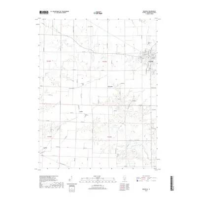 2018 Nashville2018 Print · USGSCovers Nashville, including Oakdale, Kempside, and other nearby areas
 - 2021 Map of Nashville, 2021 Print
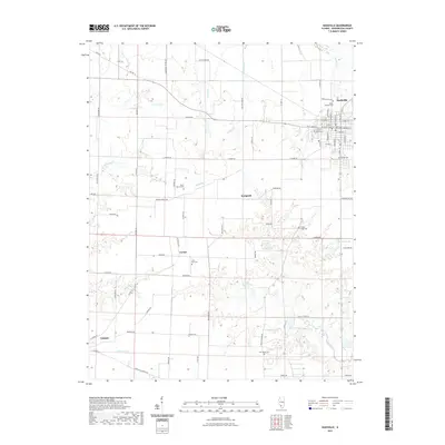 2021 Nashville2021 Print · USGSCovers Nashville, including Oakdale, Kempside, and other nearby areas
 - 2021 Map of Addieville, 2021 Print
 2021 Addieville2021 Print · USGSCovers Nashville, including Covington, Addieville, and other nearby areas
 - 2021 Map of Beaucoup, 2021 Print
 2021 Beaucoup2021 Print · USGSCovers Nashville, including Beaucoup, Posen, and other nearby areas
Showing maps 1-25 of 30
Top cities near Nashville
- Centralia historical maps
- Okawville historical maps
- Coulterville historical maps
- Germantown historical maps
- Tamaroa historical maps
- Irvington historical maps
See more
Frequently asked questions
- What are the different types of historical maps available for Nashville?
- What is the oldest map of Nashville?
- Where can I purchase historical maps of Nashville for my home or office?
- Where can I download high-res historical maps of Nashville?
- Are there historical topographic maps available for Nashville?
- Is there historical aerial imagery available for Nashville?
- Where are historical maps of Nashville sourced from?