Old Maps of Galt, Illinois for Academic Research
Study the evolution of Galt with 11 high-resolution historic maps. Whether you're teaching, researching, or modeling changes in land use, these maps provide essential visual documentation of urban, environmental, and geographic change.
- Analyze long-term change: Track patterns in development, transportation, and natural features.
- Ideal for environmental or urban studies: Support academic projects with primary historical map data.
- Use in the classroom or lab: Educators and researchers rely on these maps to bring historical context to life.
These maps are a powerful tool for teaching, research, and visualizing how Galt has changed over the decades.
Galt, IL maps
(11)- 1934 Map of Morrison
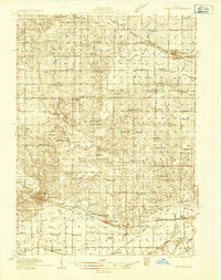 1934 Morrison1934 Print · USGSWhiteside County is seen here in the 1930s as a thriving agricultural landscape defined by the Chicago and Northwestern rail line. Researchers can trace rural school districts and family cemeteries such as Union Grove Cemetery, Coleta, and Milledgeville.2 unique versions available
 - 1940 Map of Morrison
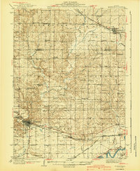 1940 Morrison1940 Print · USGSWhiteside and Carroll counties thrive as a robust agricultural landscape during the late 1930s, defined by the twin engines of the Rock River and major rail lines. Genealogists can locate dozens of country schools like Ideal Sch and old cemeteries including Clyde Cem and Bethel Cem.2 unique versions available
 - 1958 Map of Aurora, 1969 Print
 1958 Aurora1969 Print · USGSNorthern Illinois in the late fifties shows a landscape of powerful river industry and expanding transport corridors. Genealogists and historians can trace the development of Aurora and Joliet or locate sites like the Elwood Ordnance Plant and Starved Rock.3 unique versions available
 - 1961 Map of Aurora
 1961 Aurora1961 Print · USGSNorthern Illinois at the height of the post-war era reveals a landscape of massive industrial works and thriving river towns. Genealogists and historians can trace the paths of the Lincoln Highway or locate long-standing landmarks like the Green River Ordnance Plant and Starved Rock State Park.
 - 1985 Map of Dixon
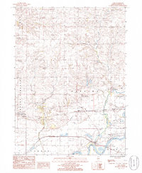
 1985 Dixon1985 Print · USGSNorth-central Illinois in the mid-eighties was a land of river cities and expansive prairies defined by rail lines and private airfields. Researchers can locate family landmarks like Oakwood Cem, the Sword Landing Strip, and Sauk Valley College while tracing the C & N W railroad.2 unique versions available
 - 1985 Map of Como, 1986 Print
 1985 Como1986 Print · USGSWhiteside County is captured here in the mid-1980s, defined by the winding Rock River and a busy rail corridor. Researchers can trace the layout of Como, identify the Chicago and North Western tracks, and locate the Quarry near Emerson.
 - 2012 Map of Como, 2012 Print
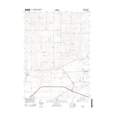
 2012 Como2012 Print · USGSCovers Galt, including Sterling, Agnew, and other nearby areas
 - 2015 Map of Como, 2015 Print
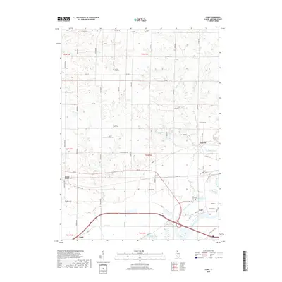
 2015 Como2015 Print · USGSCovers Galt, including Sterling, Agnew, and other nearby areas
 - 2018 Map of Como, 2018 Print
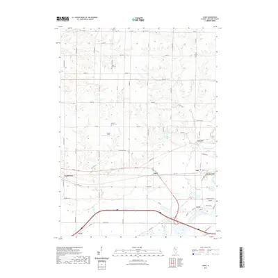
 2018 Como2018 Print · USGSCovers Galt, including Sterling, Agnew, and other nearby areas
 - 2021 Map of Como, 2021 Print
 2021 Como2021 Print · USGSCovers Galt, including Sterling, Agnew, and other nearby areas
 - 2024 Map of Como, 2024 Print
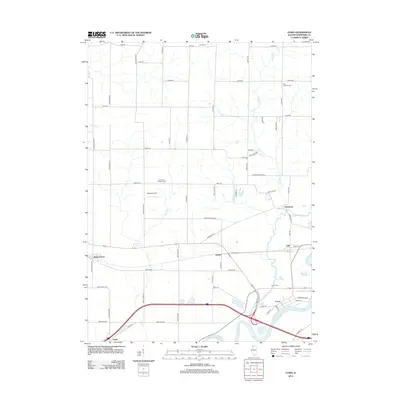
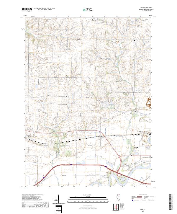 2024 Como2024 Print · USGSWhiteside County's rural landscape and the winding Rock River are documented here in recent detail. Researchers can locate several historic burial sites like Como Cem and trace the small settlements of Galt, Agnew, and Emerson along the local rail and road corridors.
End of results
Showing maps 1-11 of 11
Top cities near Galt
- Sterling historical maps
- Rock Falls historical maps
- Morrison historical maps
- Palmyra historical maps
- Polo historical maps
- Prophetstown historical maps
See more
Frequently asked questions
- What are the different types of historical maps available for Galt?
- What is the oldest map of Galt?
- Where can I purchase historical maps of Galt for my home or office?
- Where can I download high-res historical maps of Galt?
- Are there historical topographic maps available for Galt?
- Is there historical aerial imagery available for Galt?
- Where are historical maps of Galt sourced from?